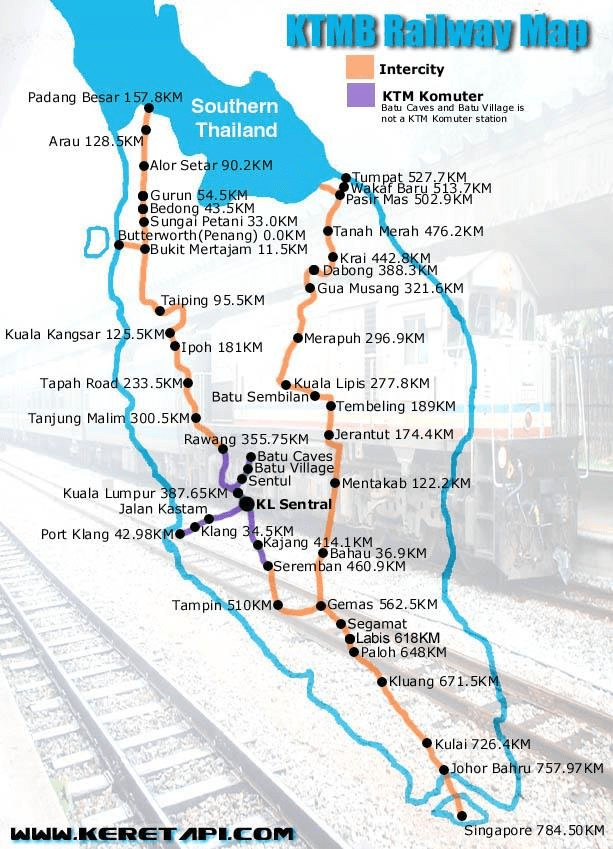
Alishan Forest Railway – An iconic narrow gauge rail journey and explore the forest landscape from the plains to the mountains
Booking Information
Tickets for the Alishan Forest Railway are sold online/Chiayi stations in advance. (Tickets are released at exactly 6:00am (Taiwan time) till 12 midnight. Tickets can be bought in advance of 14 days(weekdays), 15 days (Saturdays) and 16 days (Sunday). Advanced booking is essential to confirm date of travel as tickets are sold out in 10 – 15 minutes.
I tried booking (14 days in advance) from Chiayi to Fenqihu on the first minute, but was unsuccessful. Reason, priority is given to Chaiyi to Alishan journey. (A pop-up message informing this will appear when booking). Managed to book online , Chiayi to Fenqihu 12 days earlier (Alishan to Zhusan, as well). One day before departure to Fenqihu, tickets from Fenqihu to Alishan were still not available. Unexpectedly, were available later in the day (2 days before departure date)! So, don’t despair.
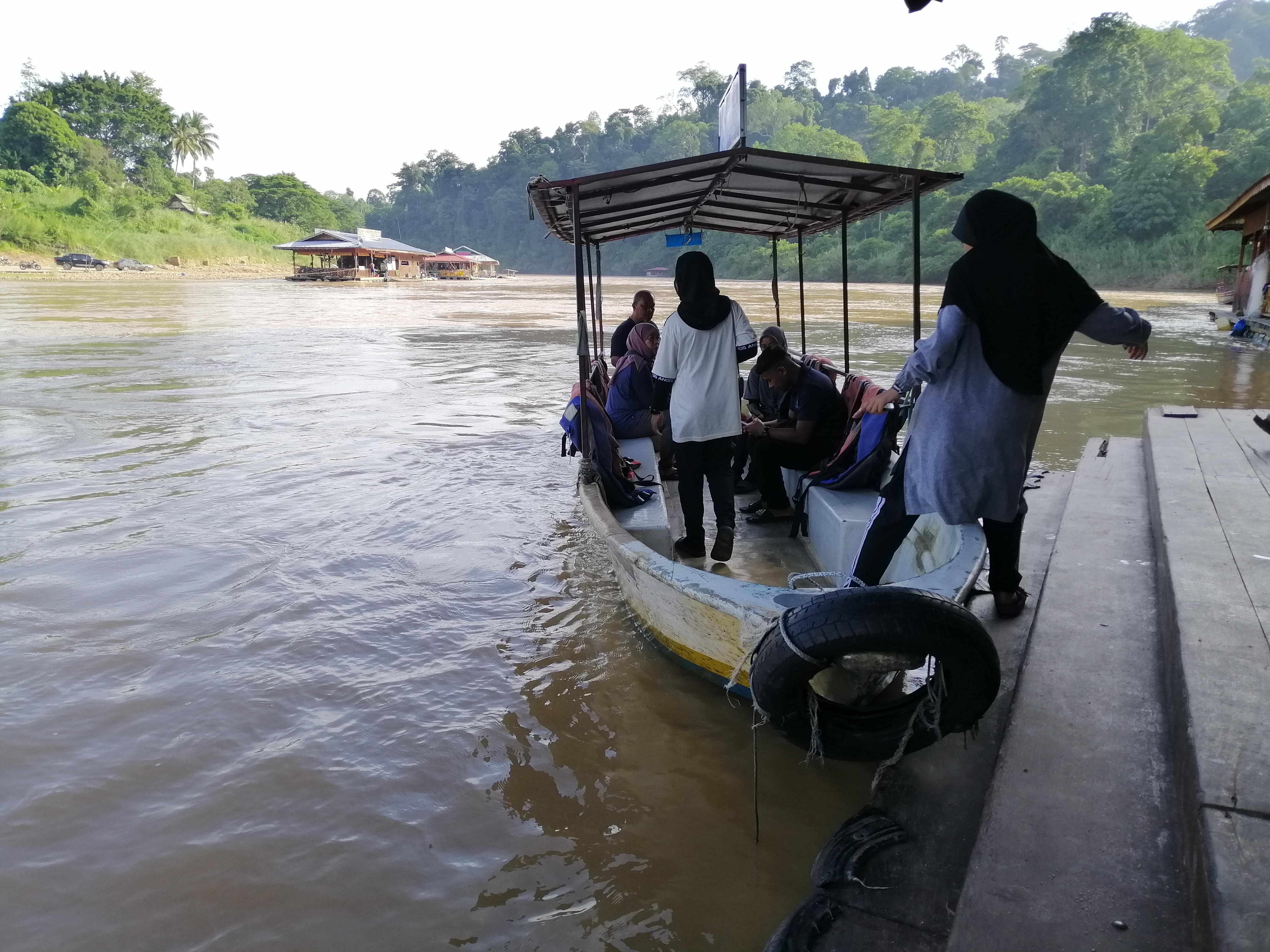
Yes, there will be uncertainty on your travel plan. As a back up, book bus tickets (which can be cancelled up to 30 minutes before departure).
Steps to make online booking:
First, go to Alishan Forest Train website. Scroll down to :-
General booking – Date (one way/return) – Route (Chayi to Alishan) / if your stop is Fenqihu, choose Chaiyi to Shizilu) – Itinerary (from: Chiayi / to: Alishan) – Train ticket (Adult ticket: # and Recreation ticket: Full : #) same quantity – Verification – Submit.
If date is successful – A full itinerary is shown. Click Select the booked (train/time) journey and click ‘confirm the train number‘.
From Chaiyi:
- Alishan Express No. 1 – Chiayi → Shizilu, departs 9:00 AM
- Alishan Express No. 5 – Chiayi → Alishan, departs 10:00 AM
Both trains allow booking to Fenqihu.
From Alishan:
- Alishan Express No. 8 – Alishan → Chiayi, departs 11:50 AM
- Alishan Express No. 2 – Shizilu → Chiayi, departs 1:21 PM
Both trains allow booking to Fenqihu.
Booking details are shown, including date, train number, departure and arrival station, time and ticket fare. Then, complete the ticket collection information (ensure that your citizenship and passport number is accurate) plus #4 – agree to terms and condition. Click complete reservation.
Once successful, an email will be sent with all the booking details including – Booking reference, Status – unpaid and seat information (assigned to you).
Last step is payment. A link – Online Payment page– will be attached to the same email. Choose Paper ticket (Electronic ticket was not available then). Once payment (credit card) is accepted, an email will be sent to confirm this. All the previous information plus Status – paid .
In the same e-mail, you will find #2 and transfer to the Booking Record Inquiry/Refund/Payment/Electronic ticket page. Fill in Passport # and Reference# to retrieve your booking (to change, refund or cancellation). Cancellation can be made up to 30 minutes before departure. Note, there’s a processing fee.
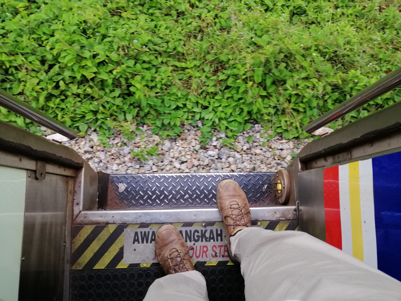
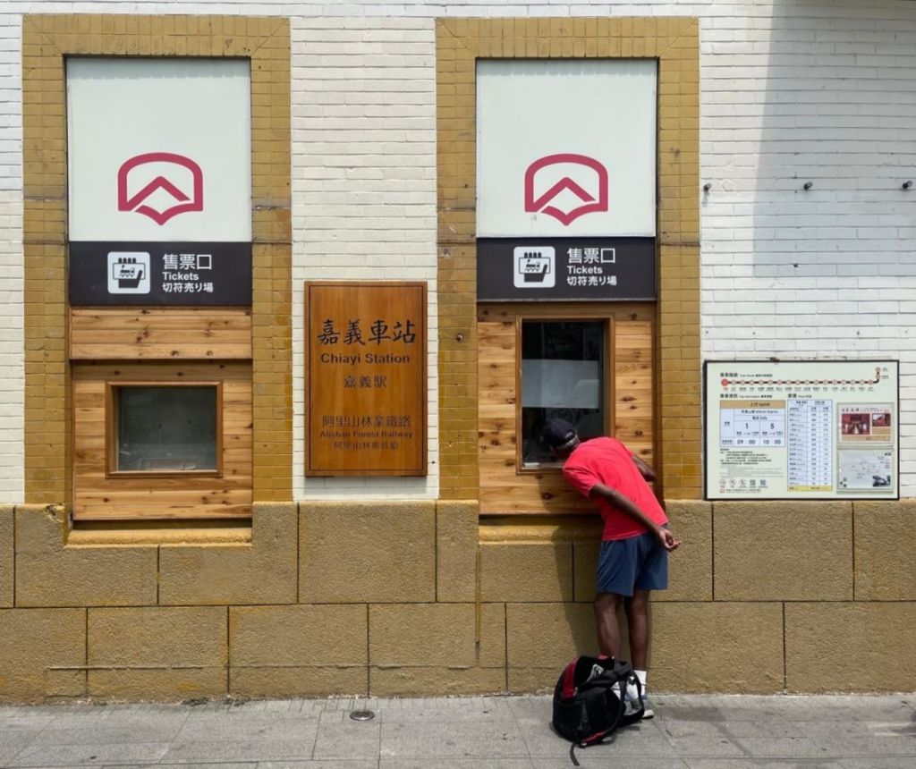
Once in Chayi, collect your tickets at the counter (on the exterior, at the train station entrance). Present your passport and physical tickets will be given. Now you’re ready for an adventurous journey.
Best to familiarise yourself before the bookings are open. However, do not fill in your personal details. Good luck!
If unsuccessful on the opening dates, continue several times over the next few days. Generally, perhaps travel agent, cancel and unsold tickets are released back (when payments are not made) into the system. Furthermore, on my travel dates, tickets were still available at Chiayi Station (for Fenqiu and Alishan). After departure at 0900 from Chaiyi (Alishan Express 1), my coach had 15 empty seats. The next coach had several.
The history and now
The narrow gauged Alishan Forest Railway has been built progressively since early 1900 by the Japanese Colonial government to facilitate the extraction of Cypress (hinoki) and other timber. The line was plagued by landslides and tunnel collapses, and Typhoon damage in 2009 caused severe destruction. It later reopened partially for passenger service from Chiayi to Fenqihu, with buses used for the upper sections.
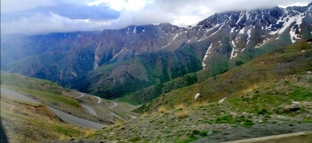
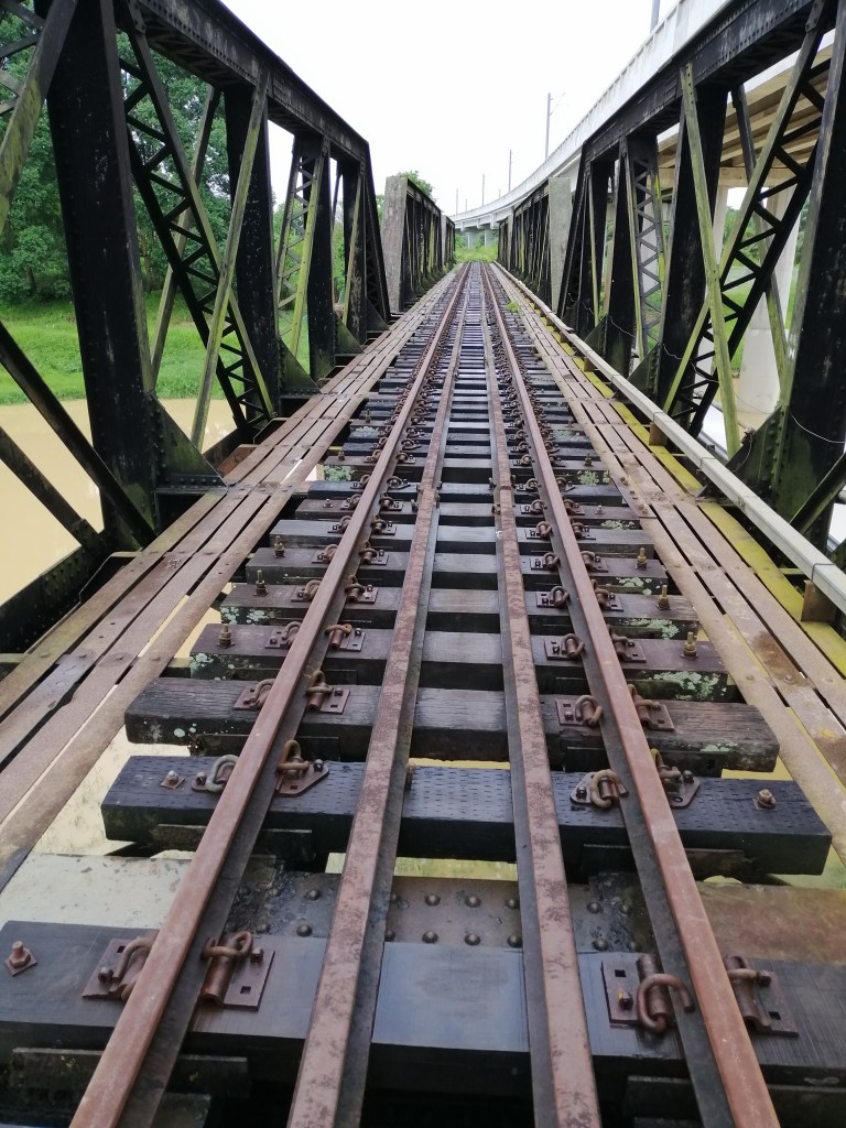
To prevent further environmental damage and loss of ancient mountain forests, logging was banned in the early 1990s. In July 2024, after 15 years of limited service, the full 86 km route from Chiayi to Zhushan via Alishan finally reopened to tourists. Though now diesel-powered, this cultural heritage icon still swerves, zigzags and switchbacks through 50 tunnels and 77 bridges. It is slow travel and a remarkable feat of engineering, reminiscent of my journey on the Darjeeling Toy Train.
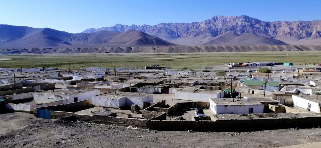
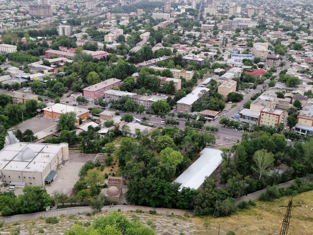
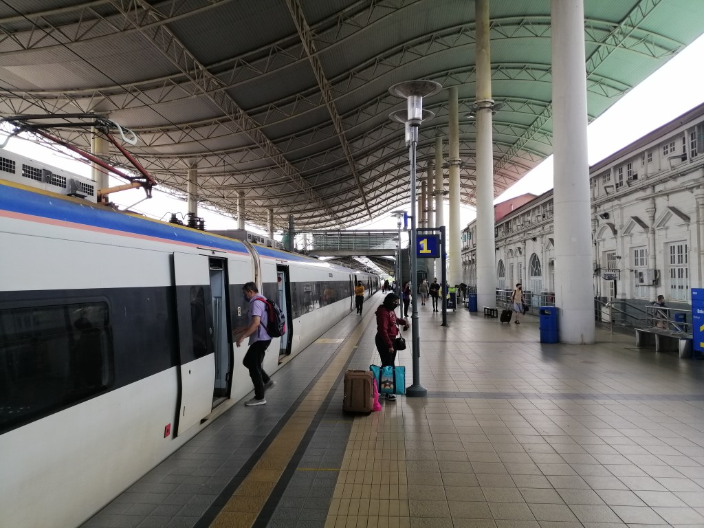
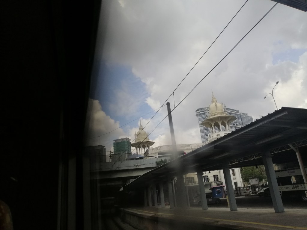
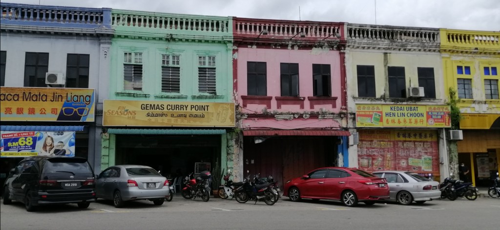
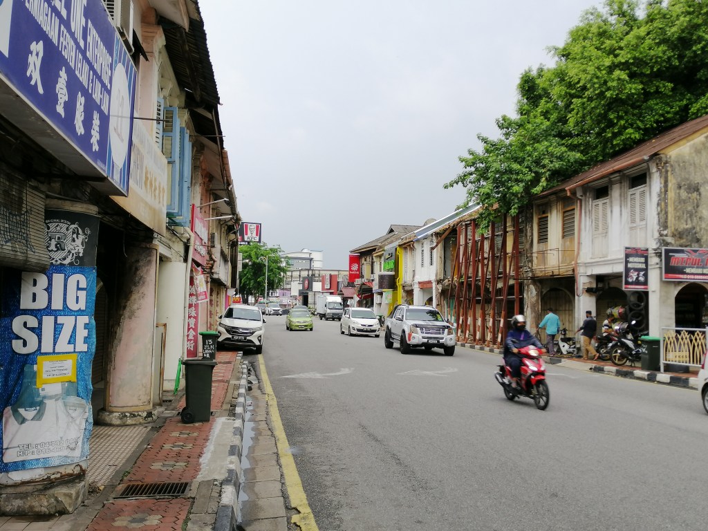
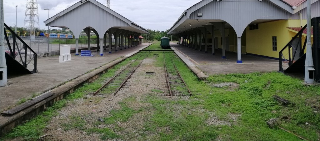
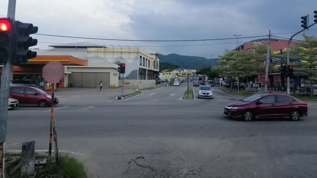
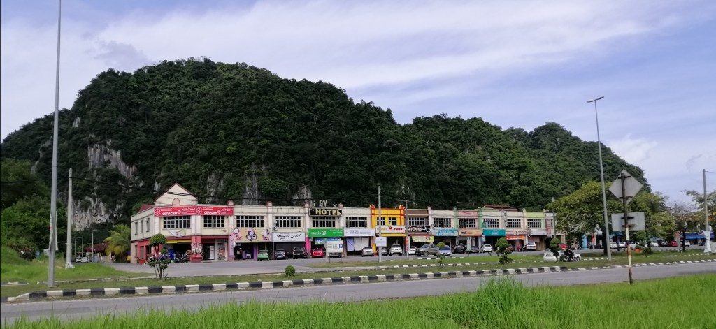
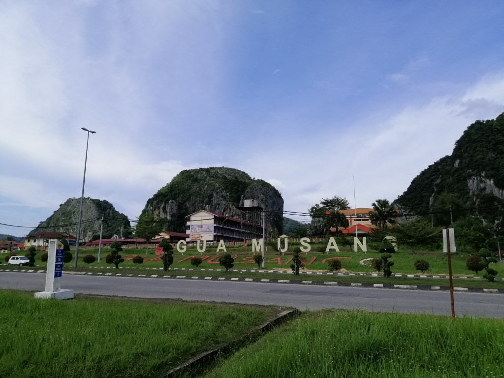
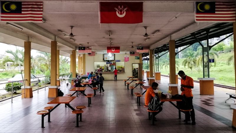
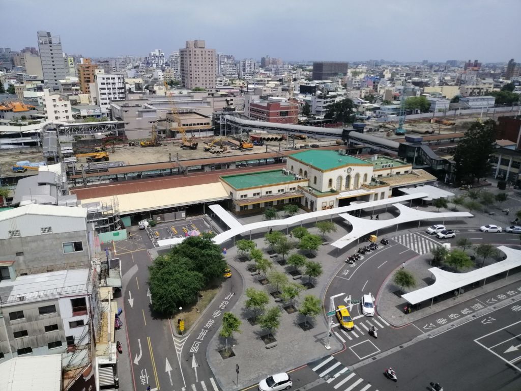
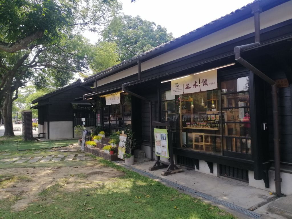
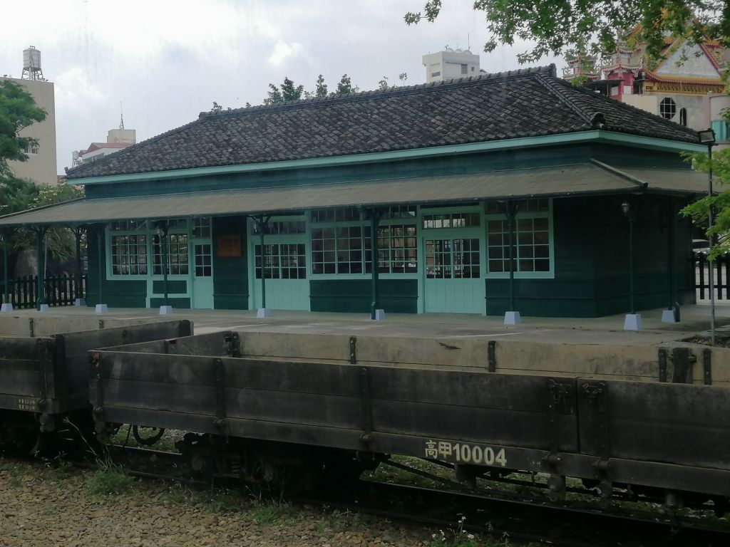
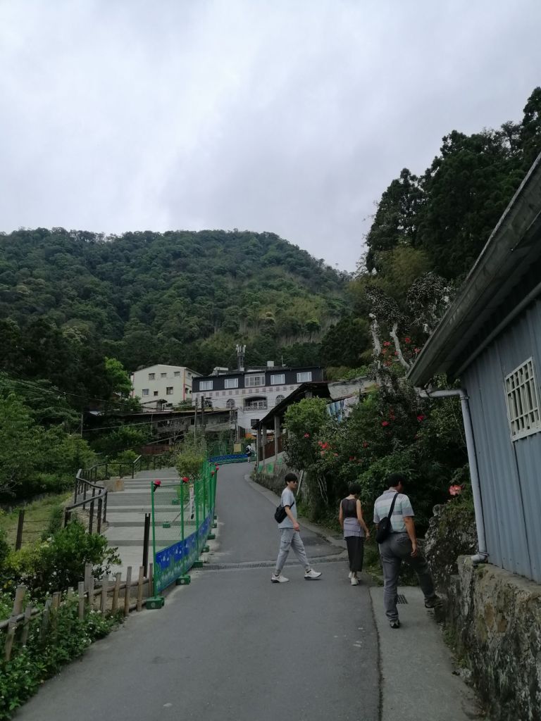
The beginning – Chaiyi, not just a stopover
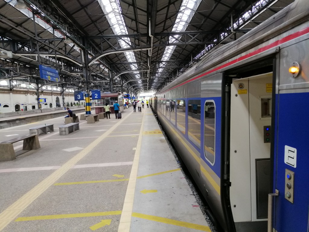
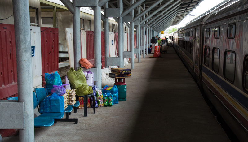
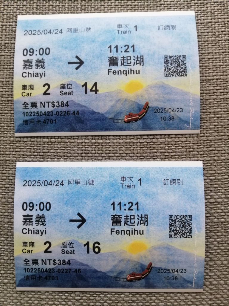
The journey on the iconic Alishan Forest Railway began at Chiayi’s historic Japanese-era TRA Station (not to be confused with the THSR station). Both wide-gauge TRA and narrow-gauge Alishan tracks are visible on the station’s northern side. The ageing structure, with peeling paint, evokes a colonial past, though modernisation works are underway. Outside the station, two ticket counters serve the Alishan Forest Railway. We collected our Chiayi–Fenqihu tickets with our passports, but Fenqihu–Alishan tickets for the next day were sold out by 10.30 a.m.
We stayed at the dated but comfortable Yoyo Hotel, opposite Chiayi Station, with views of both the old and new stations and easy access to the city. We had just missed peak cherry blossom season, likely contributing to the ticket shortage.
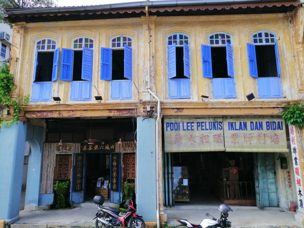
While Chiayi is best known as the gateway to Alishan National Scenic Area, it has its own charm. Walking along Linsen West Road, we stopped at the Museum of Tiles, where a peacock design identical to those in my hometown of Ipoh (Malaysia) caught my eye.
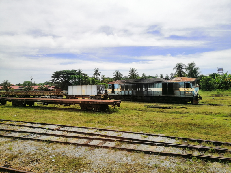
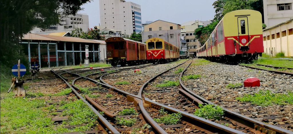
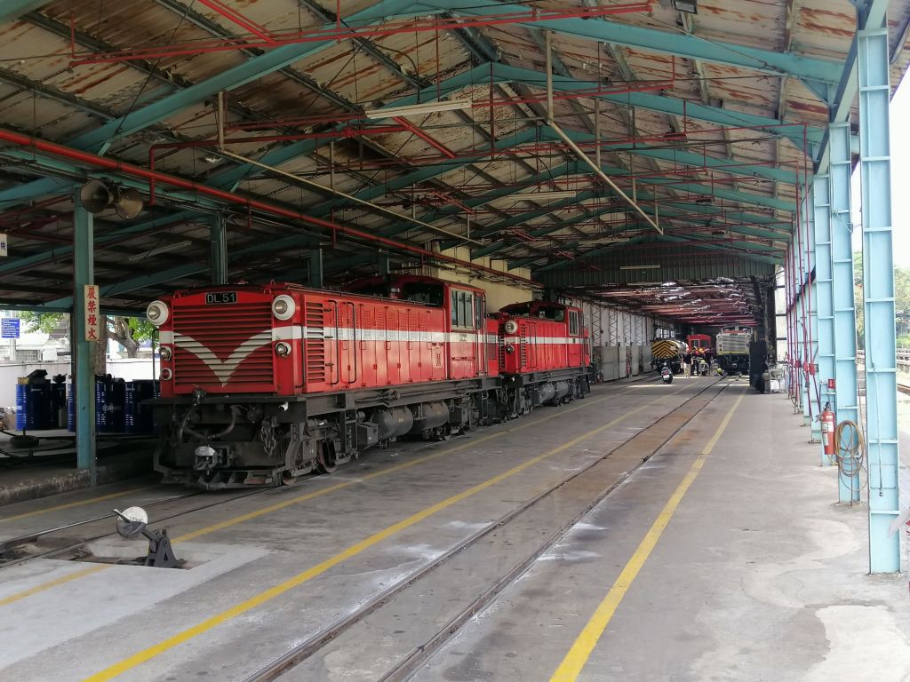
Our first major stop was Alishan Forest Railway Garage Park, an open-air museum showcasing the origins of the forest railway. Decommissioned steam and diesel locomotives, old coaches, a locomotive turntable, and a working repair shed tell the story of its engineering past.

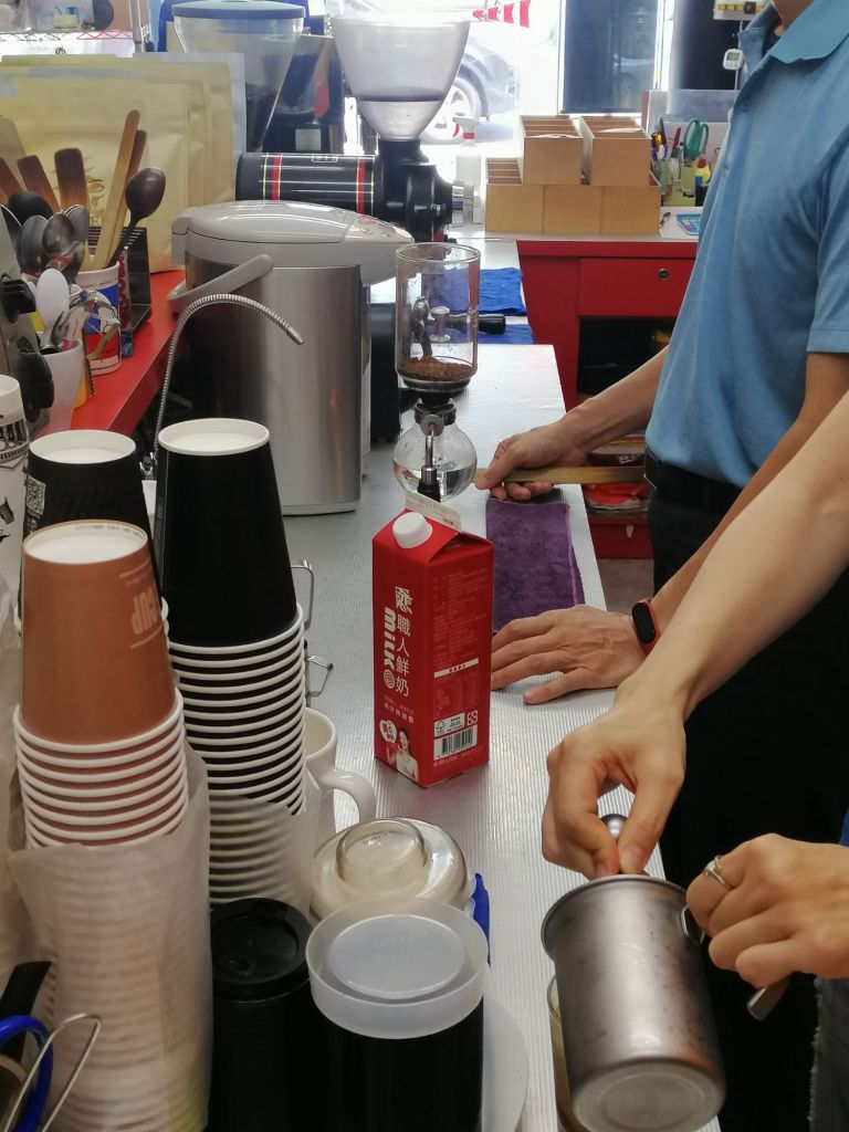
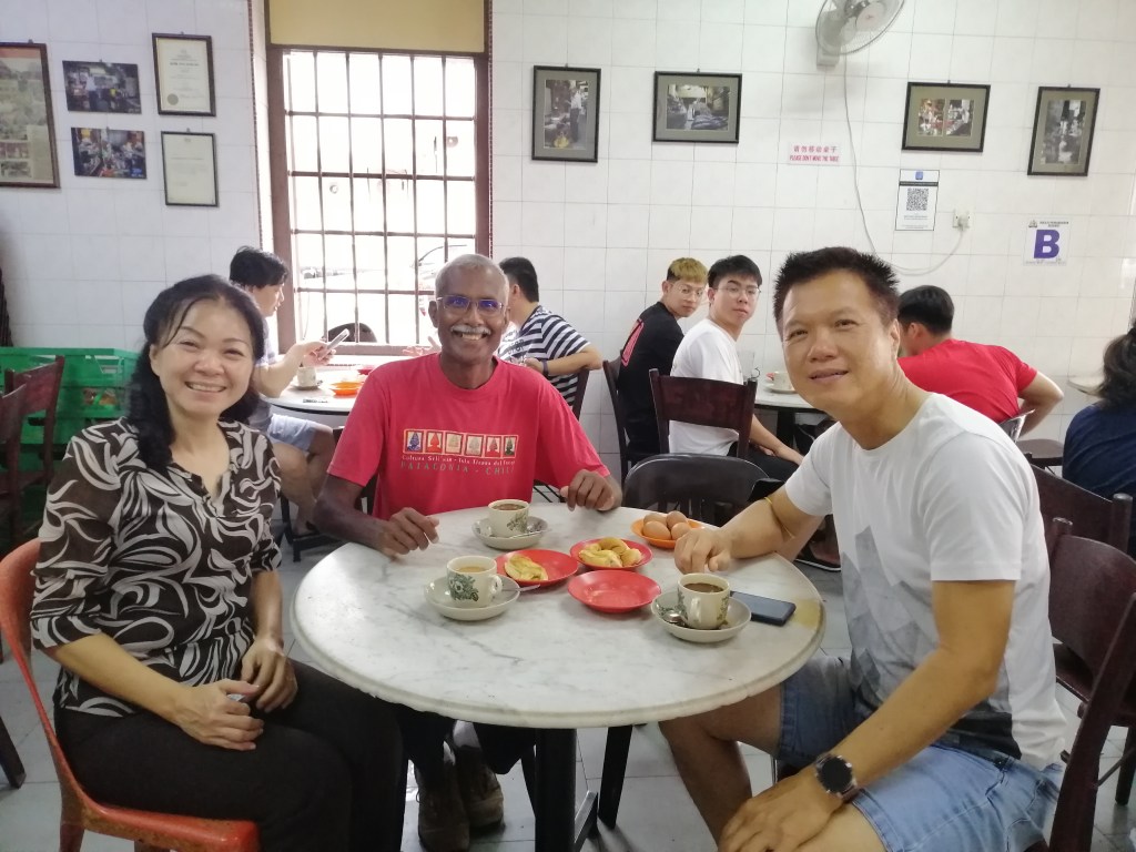
Along the way, we discovered a specialist coffee shop where Mr Tan shared insights on Chiayi’s growing coffee culture, politics and Taiwan in general. He believes young people are returning for the affordability, food scene, and lifestyle. Lunch was at Pu Su Jhai Fung, a delightful vegetarian eatery with an extensive selection, under a blazing sun.
Hinoki Village, once railway staff dormitories built from cypress wood during the Japanese occupation, now houses souvenir shops and ice-cream stalls. It offers a nostalgic glimpse into the railway’s history. Persistence paid off when I later managed to secure Fenqihu–Alishan tickets for the following day.

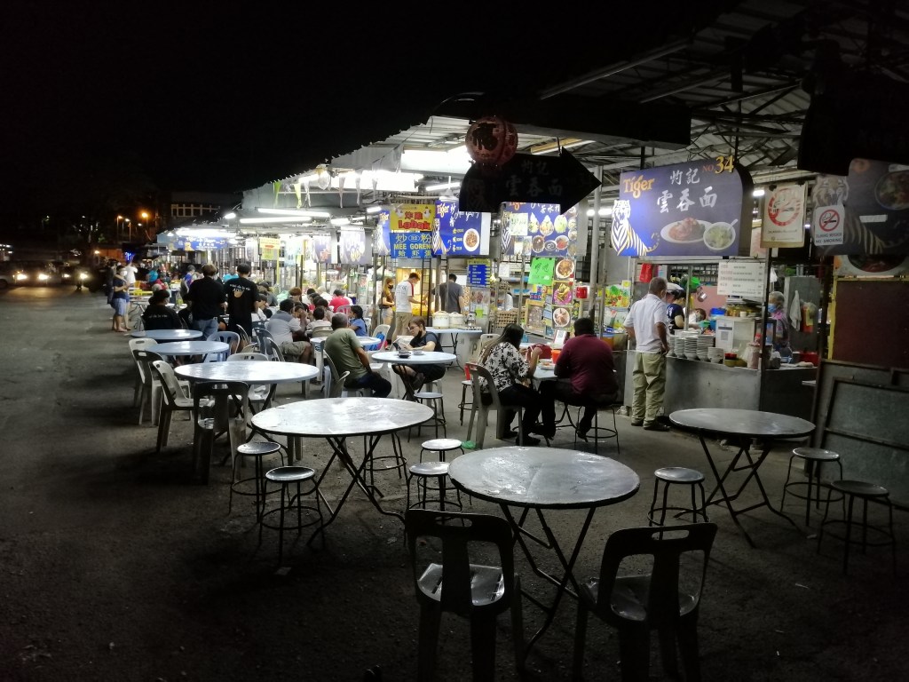
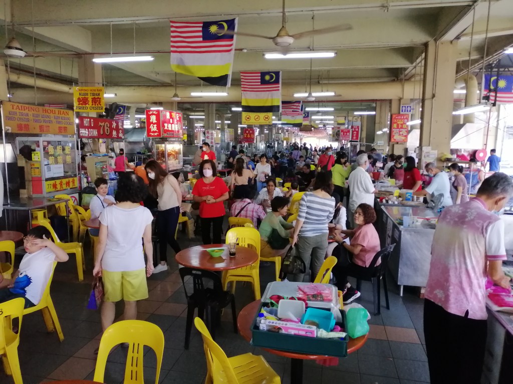
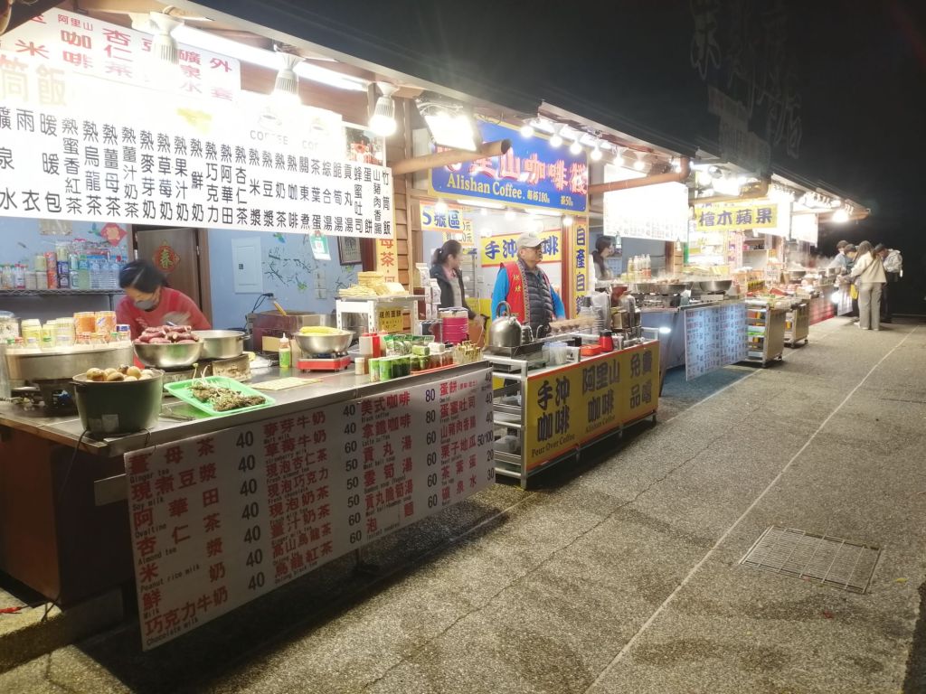
In the evening, a short walk led us to Wenhua Night Market, stretching from Circle Fountain to Wenhua Park. Lined with food stalls, it buzzed with locals enjoying Taiwanese favourites, from turkey rice to fish head stew, in a relaxed, vibrant and authentic atmosphere.
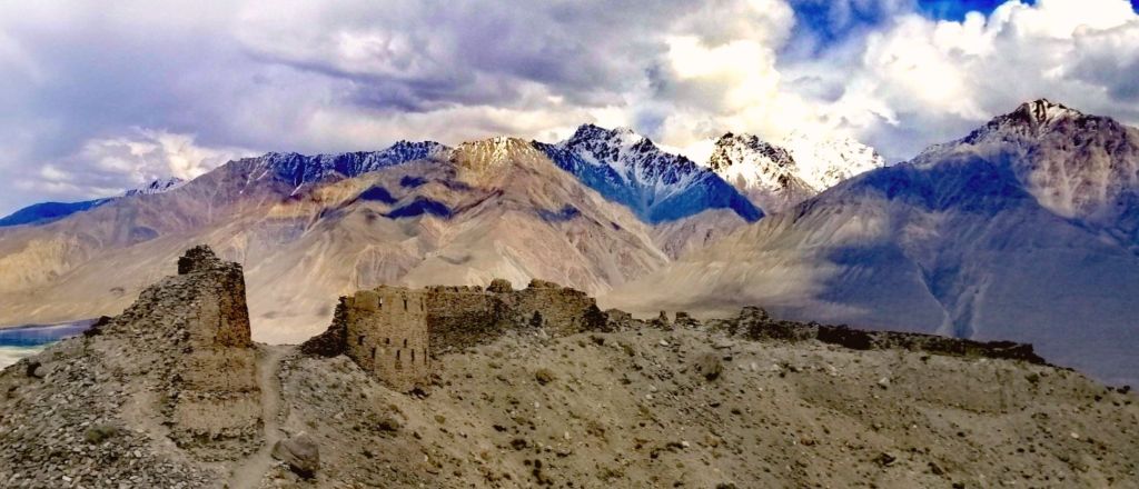
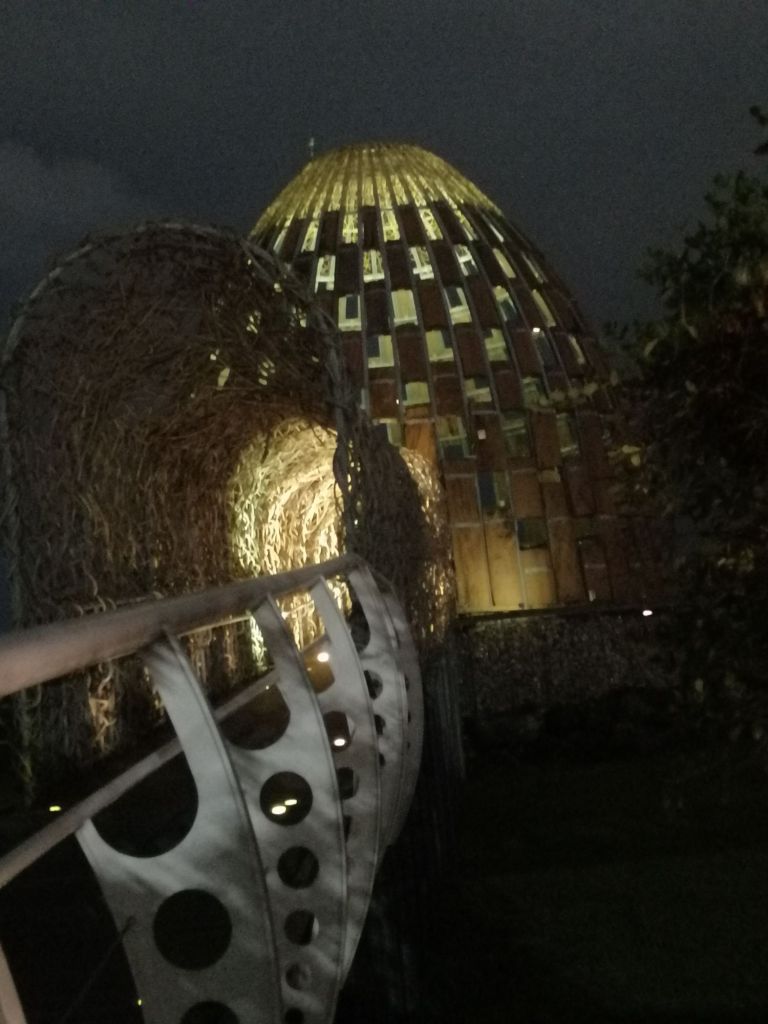
We ended the night at the Song of the Forest installation near Wenhua Road, inspired by indigenous craftsmanship and Chiayi’s forestry heritage. Its an artistic installation inspired by aboriginal craftsmanship using local wood (reflecting Chaiyi’s forestry past) materials. “The tower symbolizes the sacred tree, the tunnel, and the track of Alishan Forest Railway to show the transition of light and the magnificence of Alishan”. Illuminated at night, with trains passing nearby, it was both serene and dramatic.
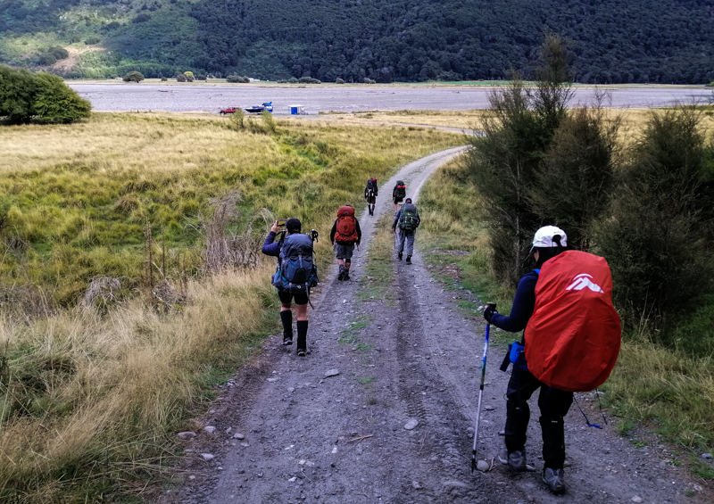
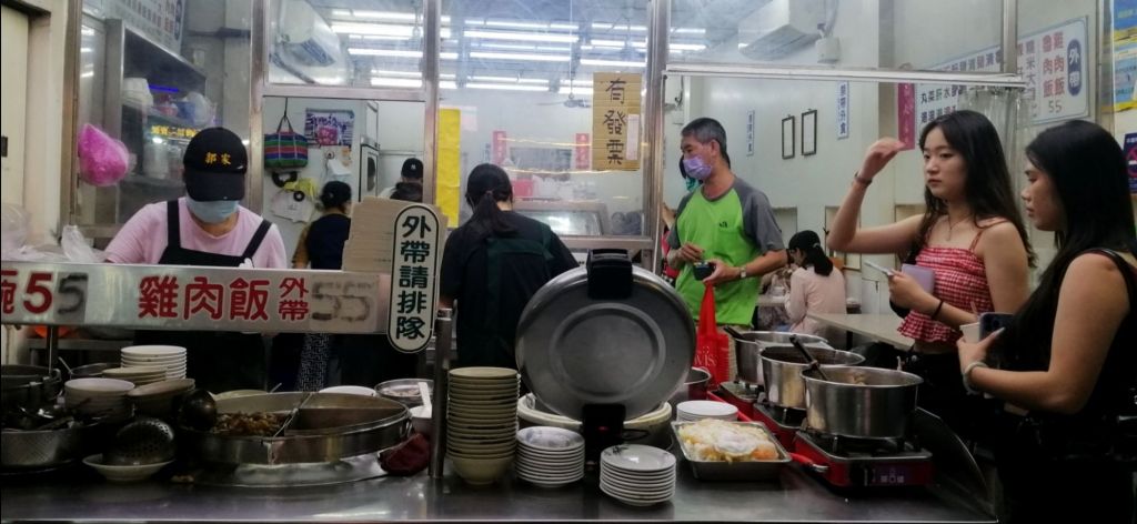
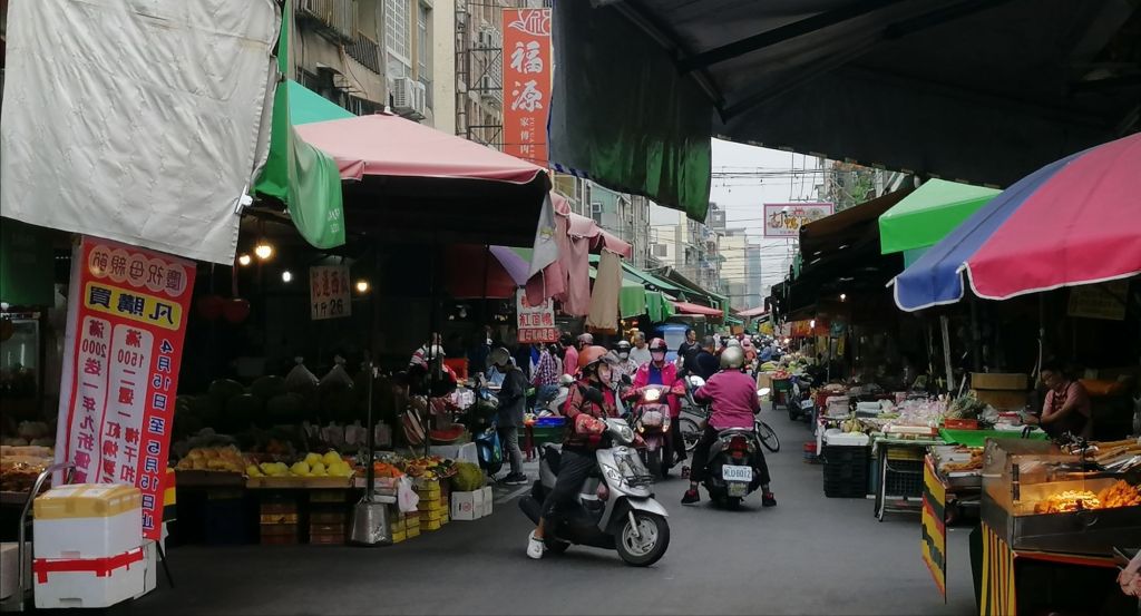
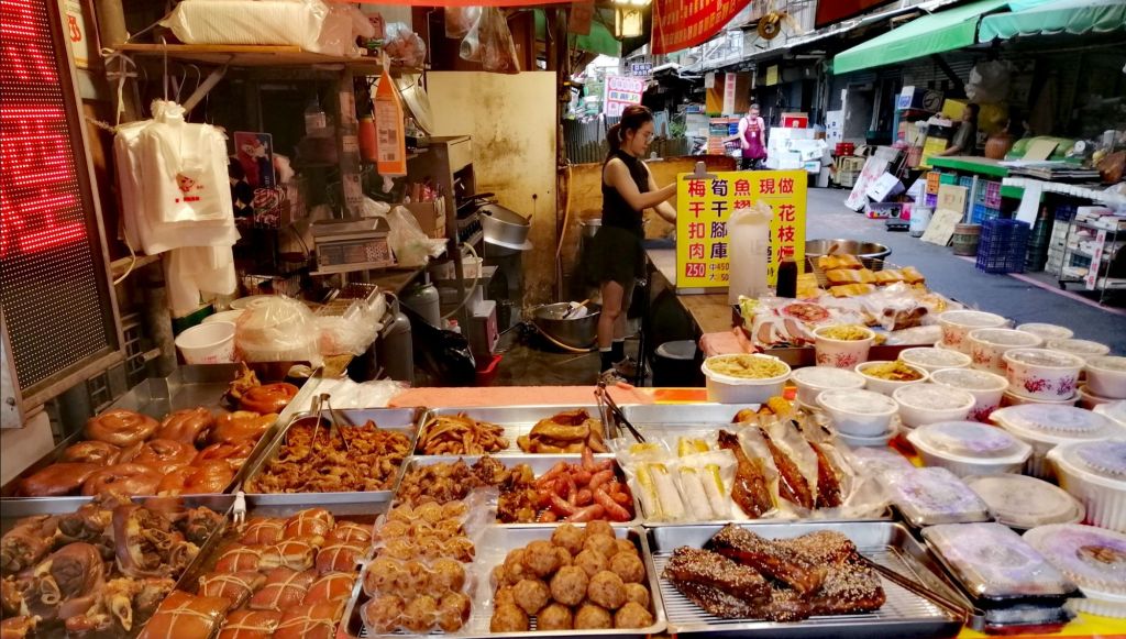
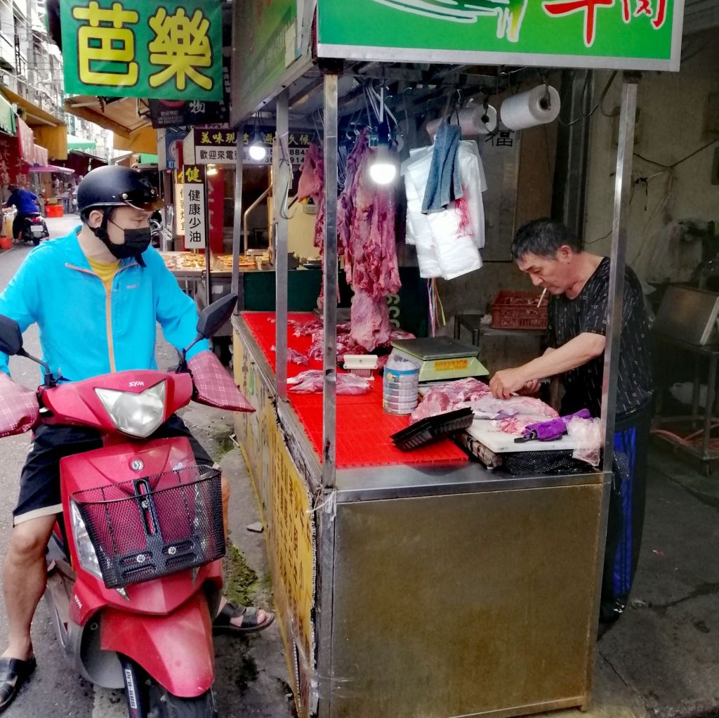
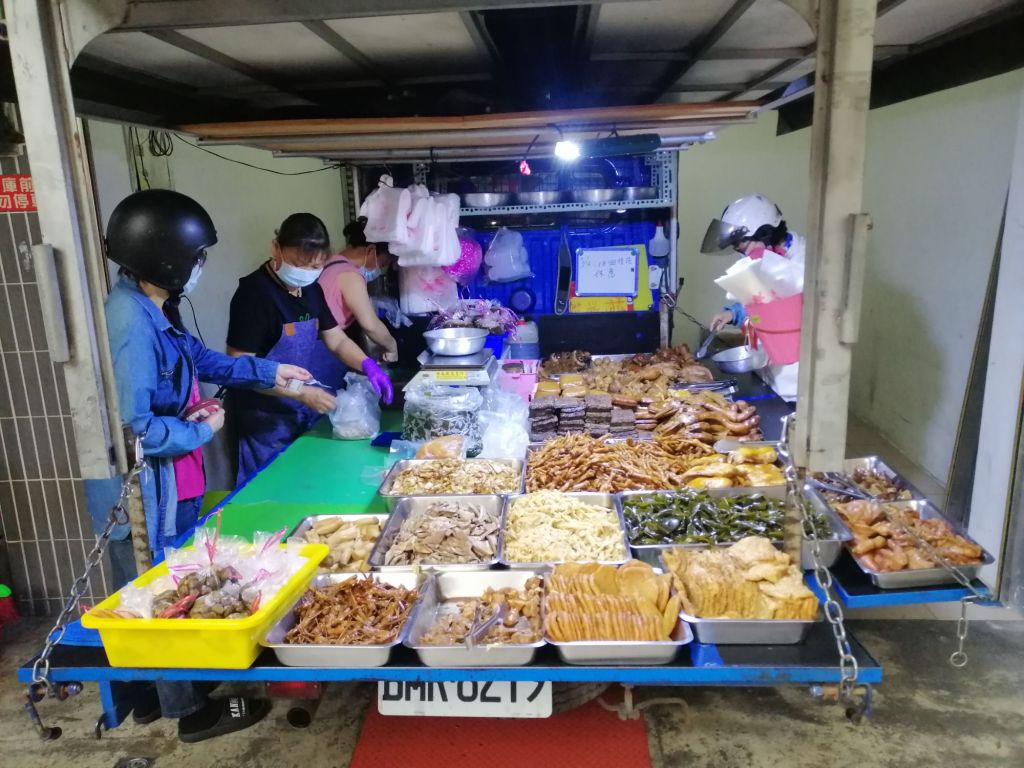
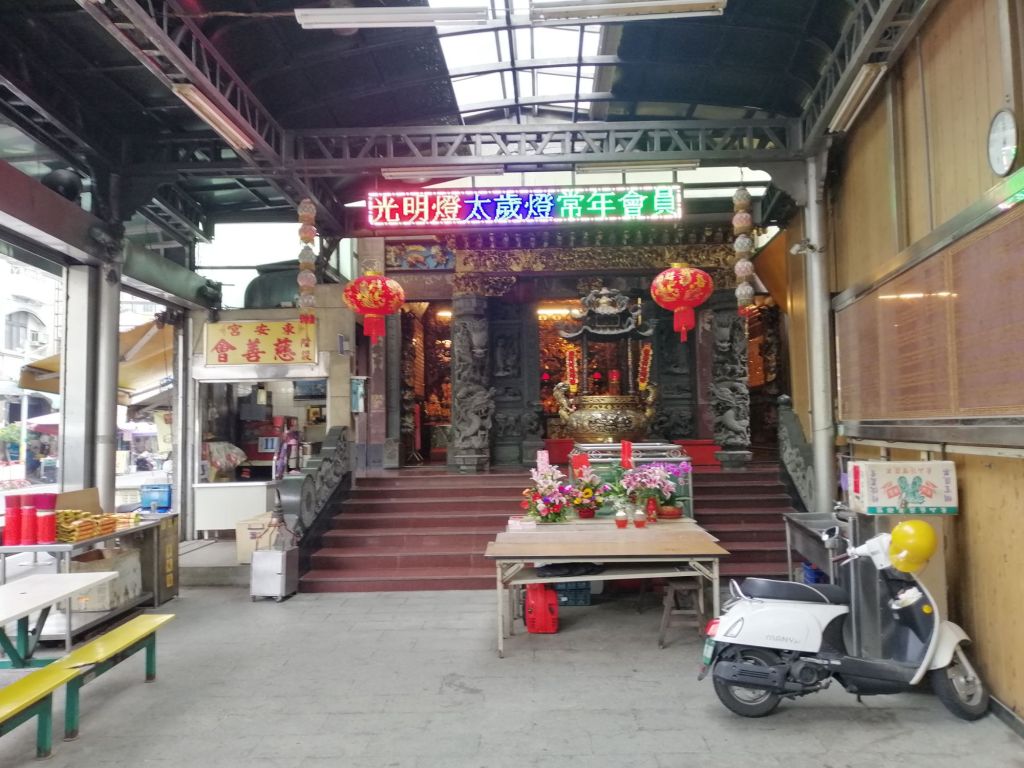
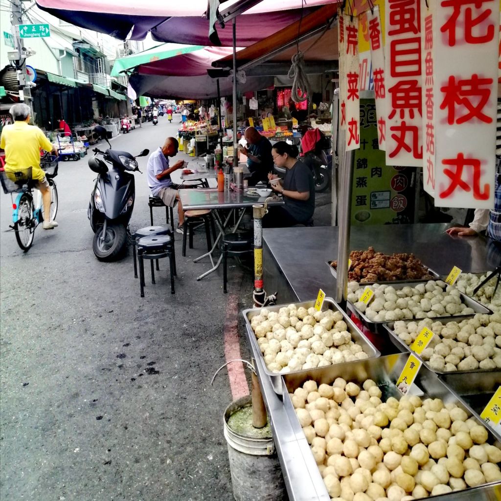
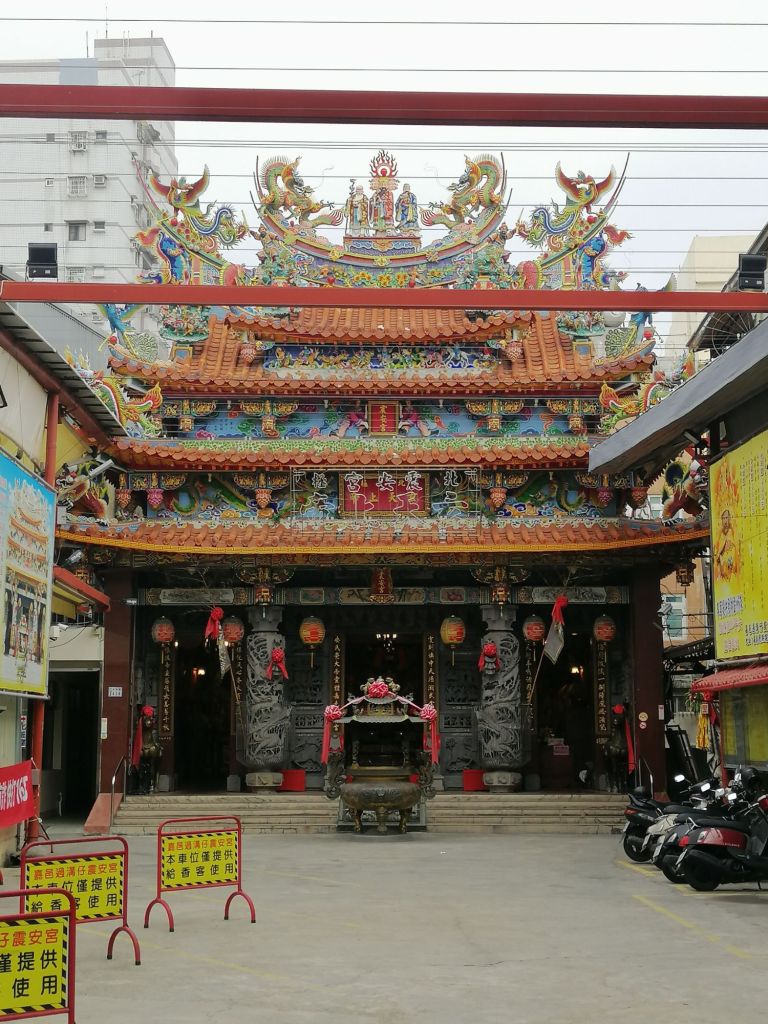
Before my 9 a.m. departure to Fenqihu, I visited the nearly 300-year-old East Public Market, Sprawled between Guangcai Street and Zhongshan Road. By 7 a.m., it was alive with scooters and shoppers navigating narrow lanes. Generations of family-run stalls sold fresh produce, seafood, and local breakfasts, with temples with intricate craftsmanship weaved into the tapestry of the market. Truly Chiayi’s “morning kitchen”, an authentic, atmospheric place— and a perfect final stop before boarding the Alishan Forest Railway adventure.
The journey
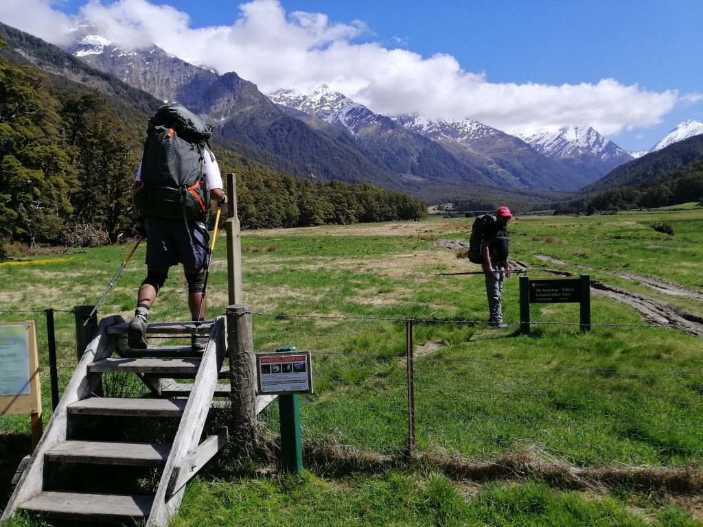
The Alishan Forest Railway is one of the world’s most iconic mountain railways, climbing from the tropical lowlands of Chiayi (30 m) to the temperate forests of Alishan (2,216 m) and Zhushan (2,451 m) over 77.55 km. It is slow travel in the truest sense. I completed the journey over two days: first from Chiayi to Fenqihu, then onward to Alishan.
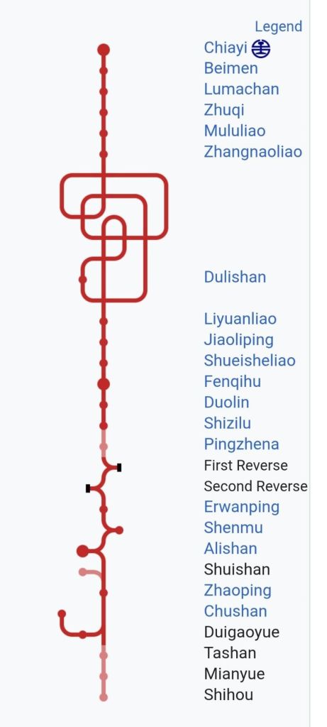
1st Leg, day 1
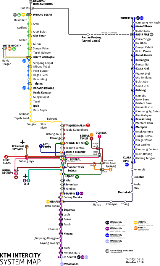
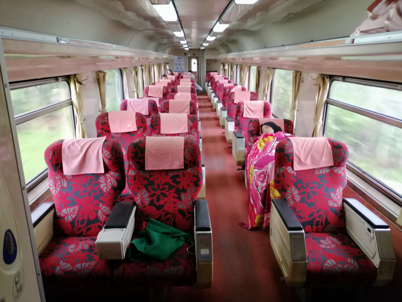
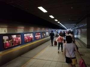
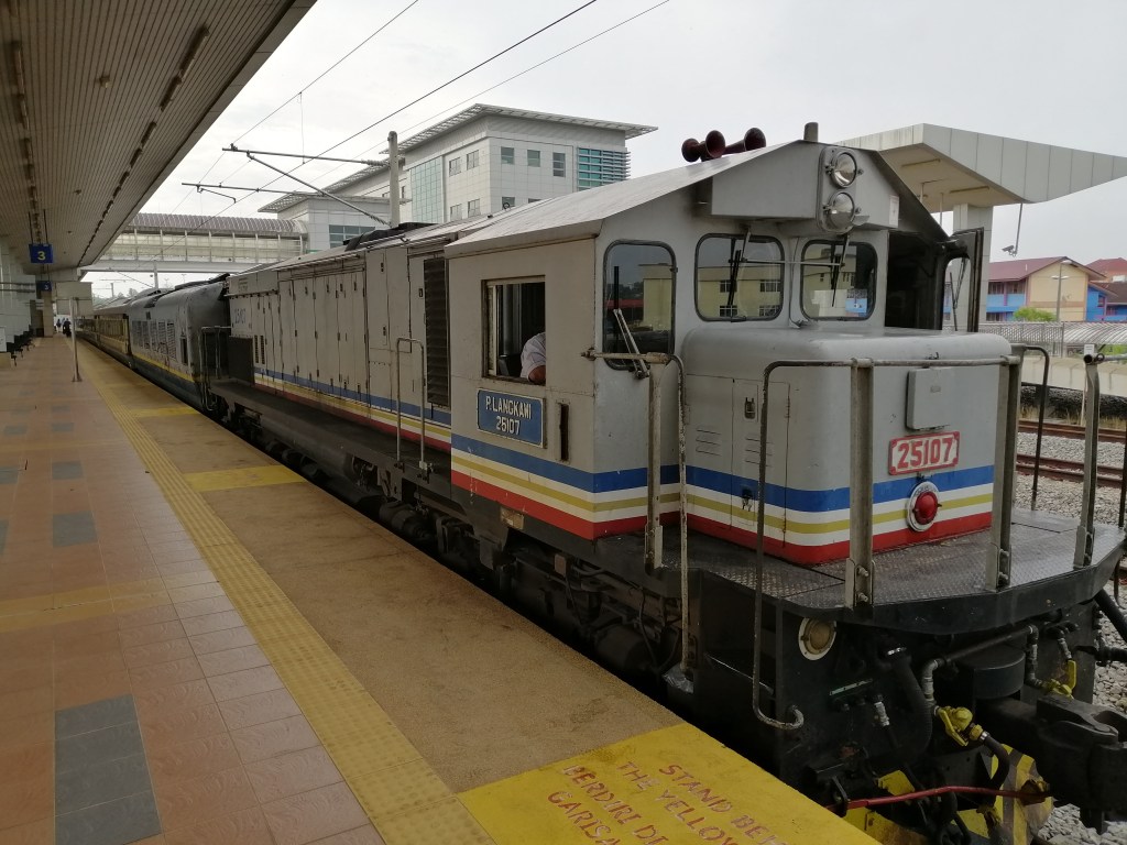
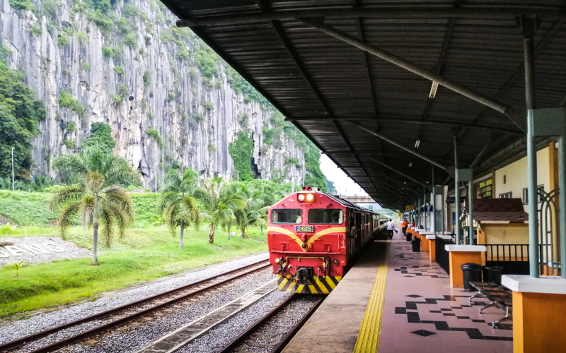
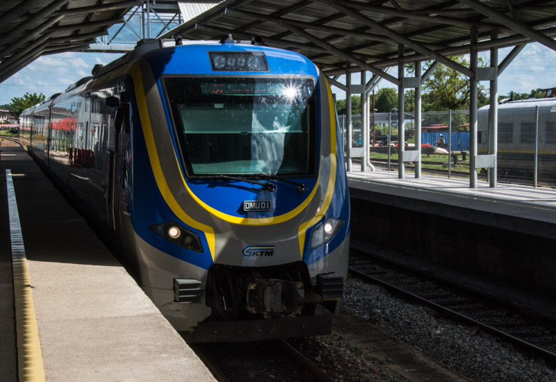
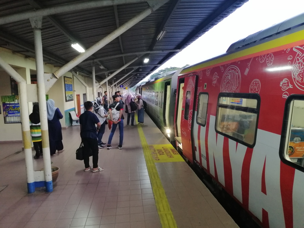
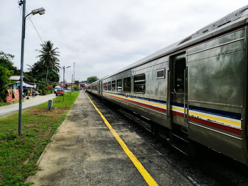
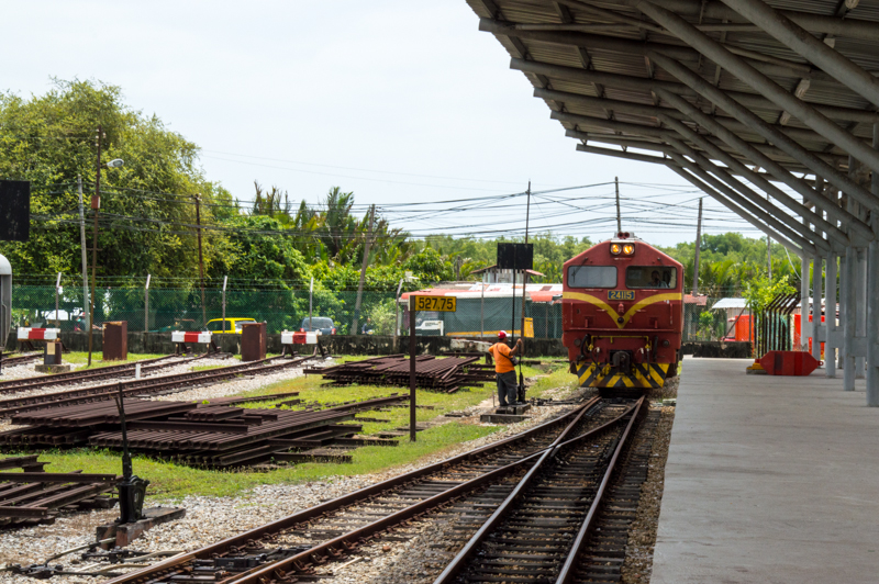
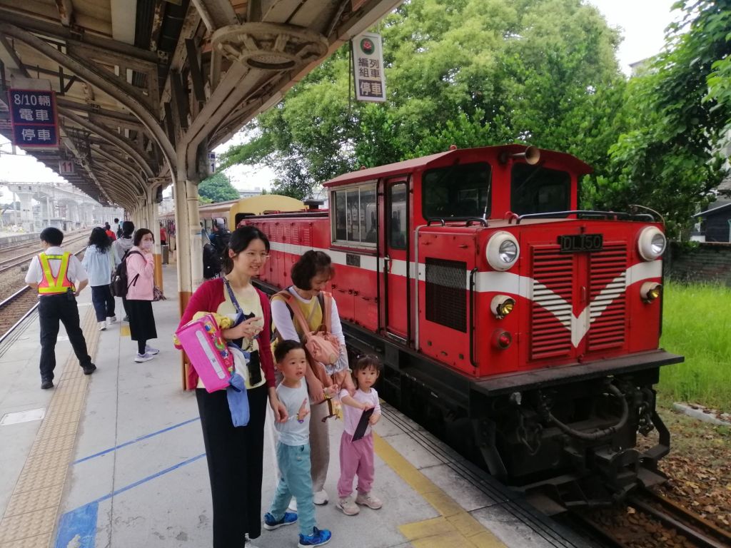
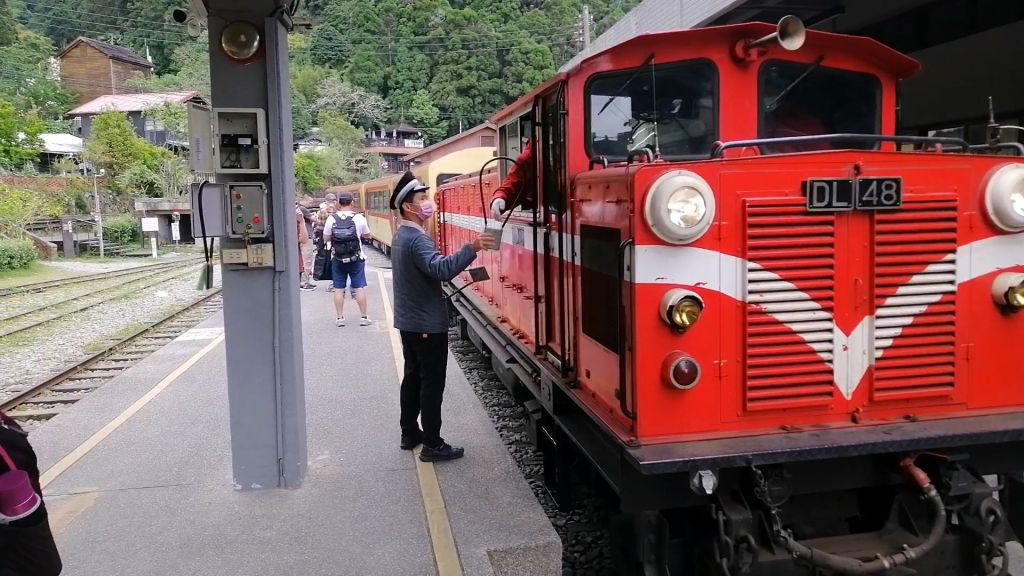
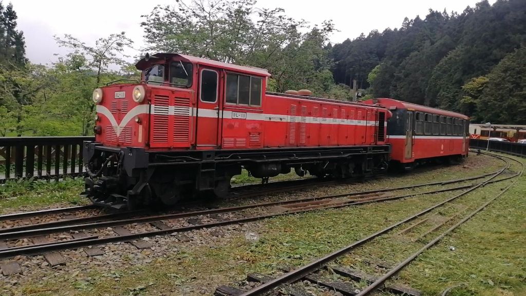
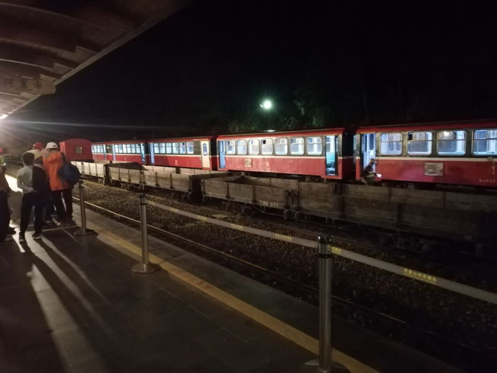
At Chiayi Station (30 m), we headed north to board the 9 a.m. Alishan Express 1. A few passengers queued for last-minute tickets as the red diesel locomotive rolled onto the narrow-gauge track, stirring commotion and excitement on the platform. Surprisingly, my coach — and the next — had many empty seats.
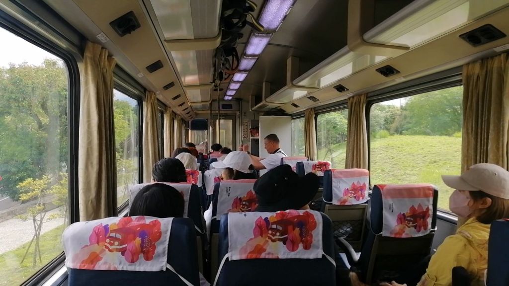
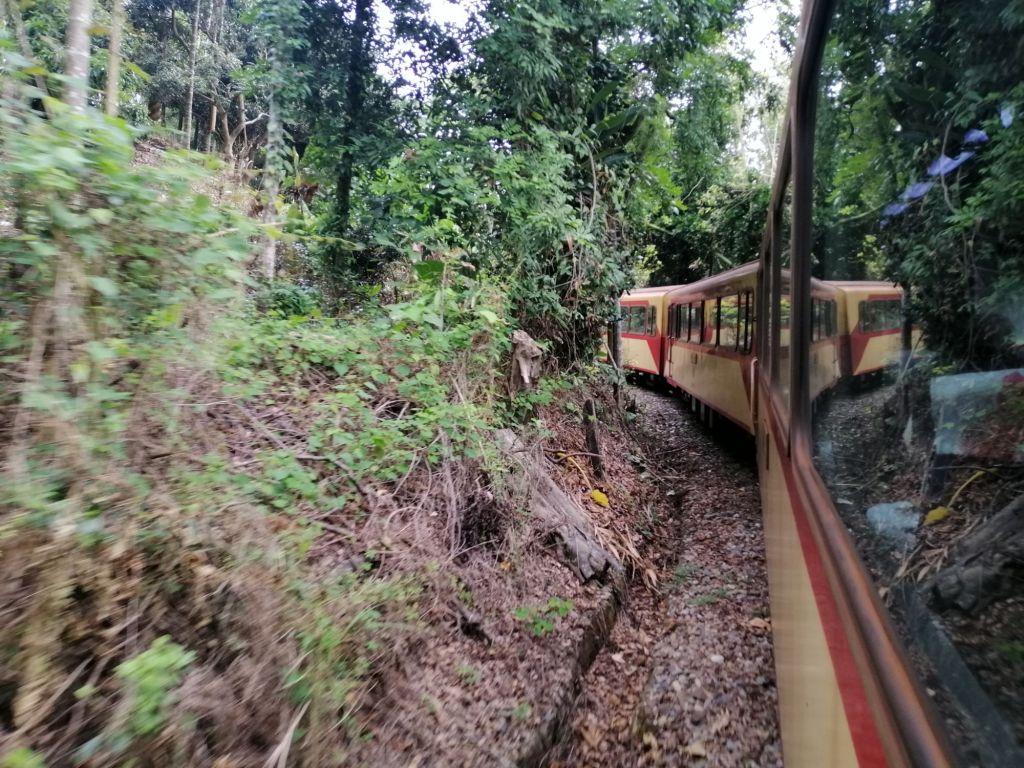
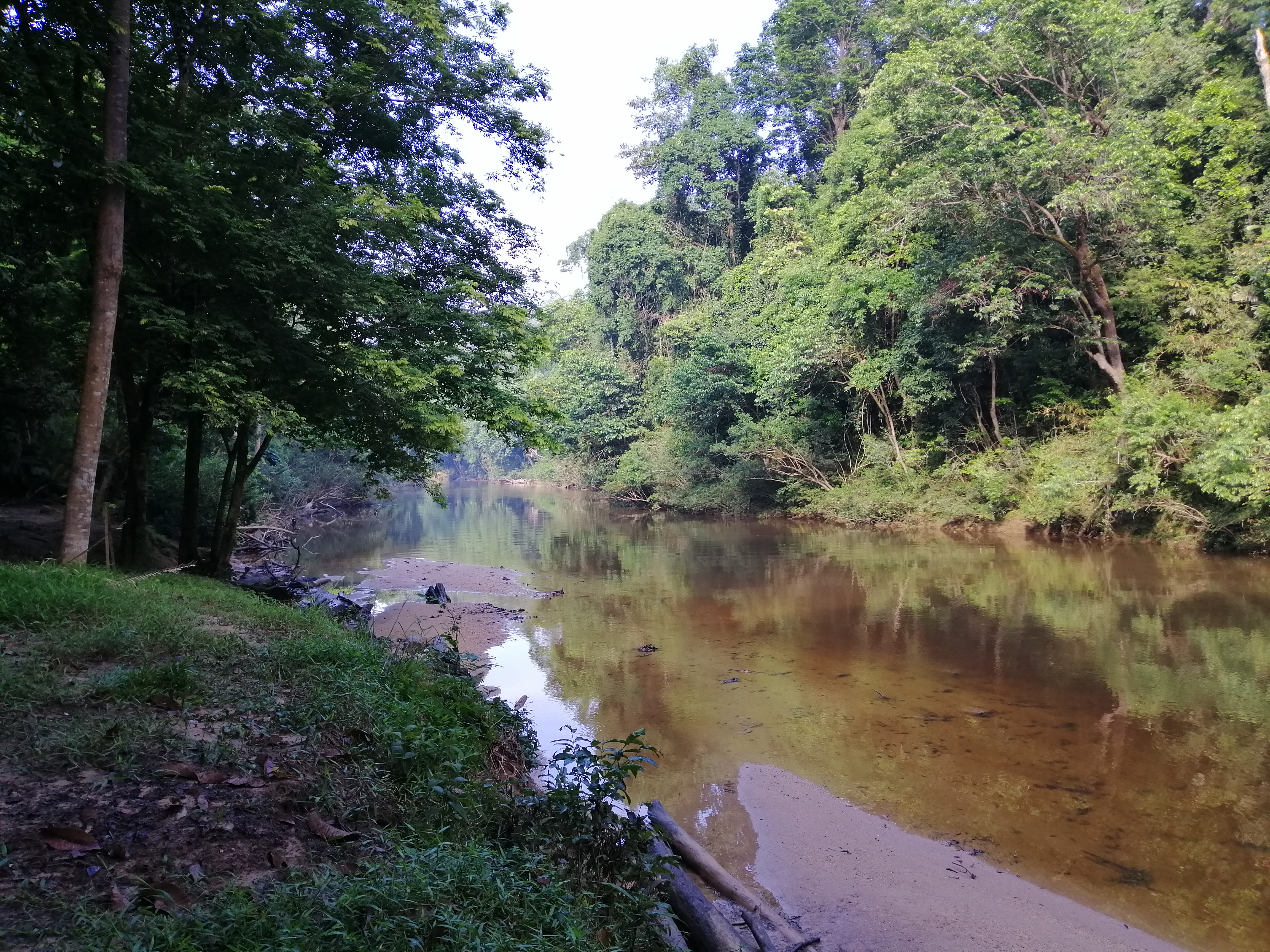
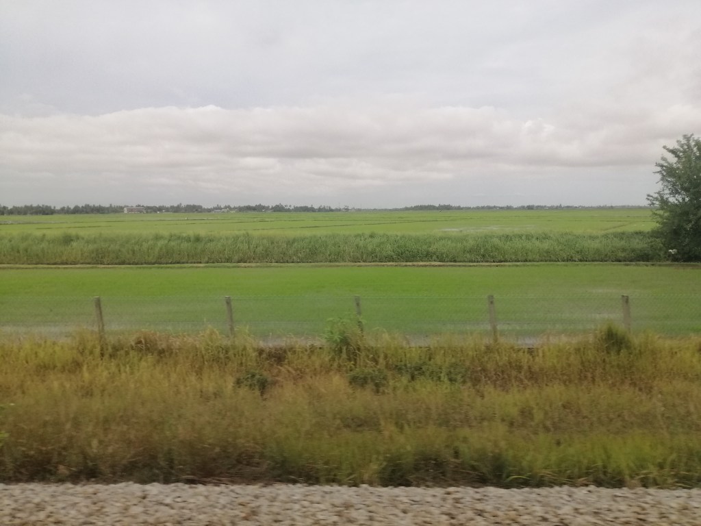
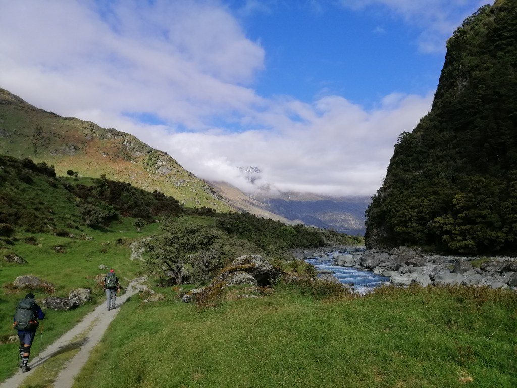
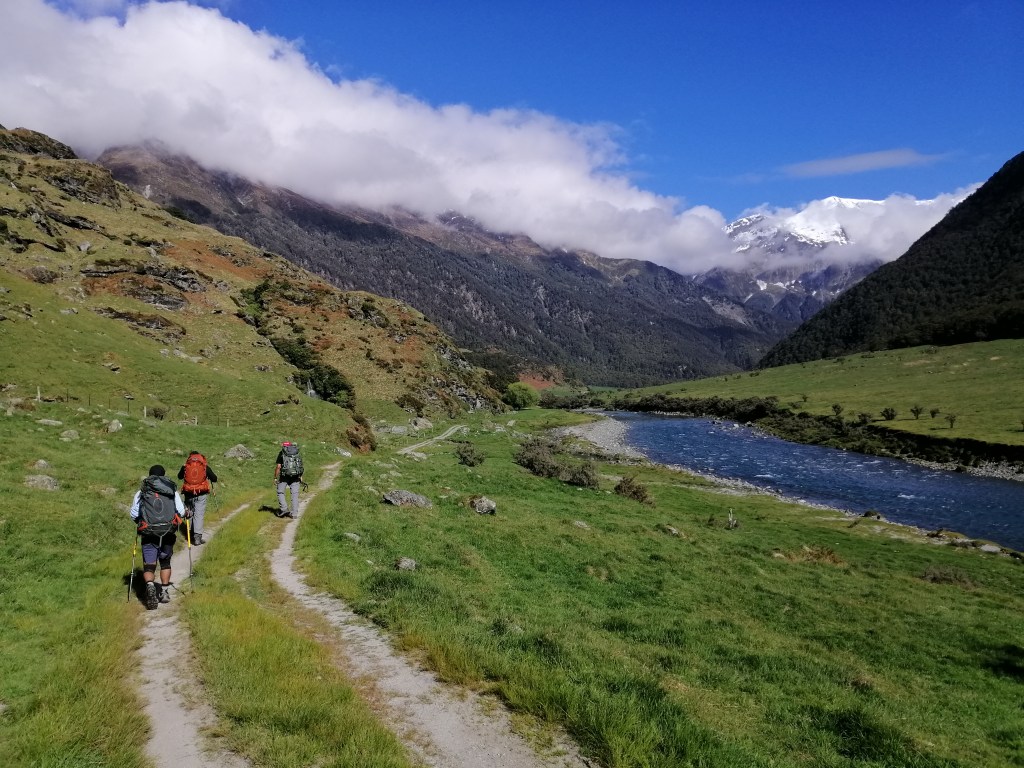
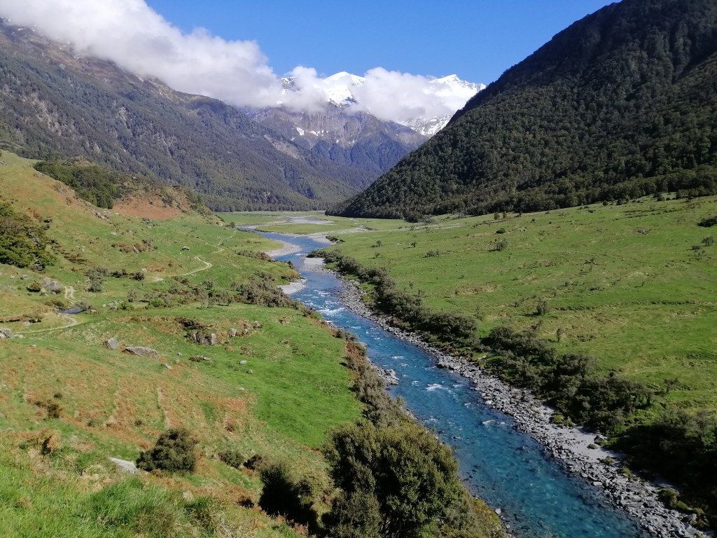
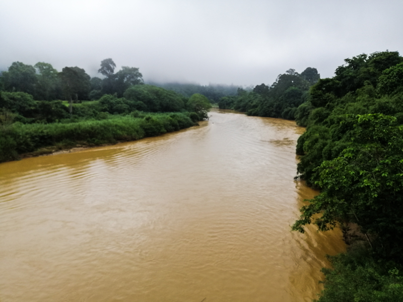
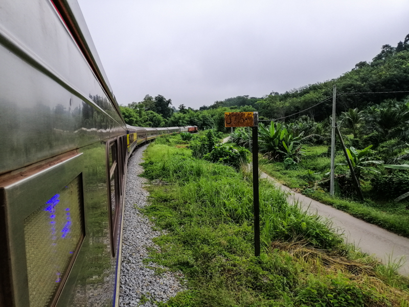
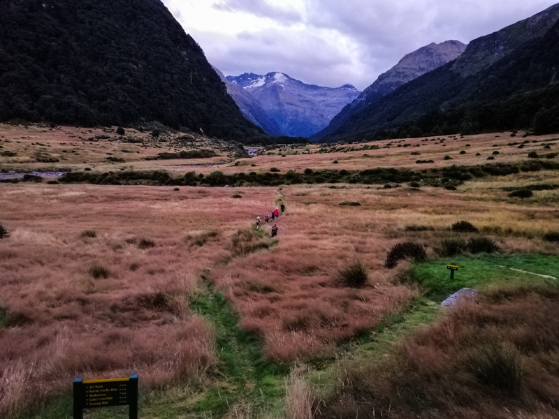
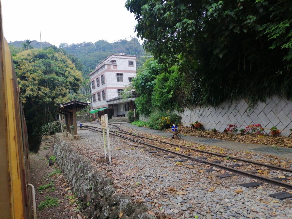
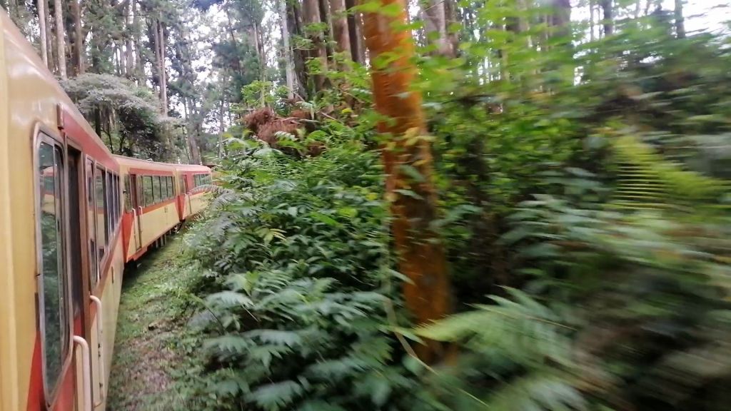
Soon after passing the Railway Garage, we stopped at Beimen Station, a Japanese-era structure painted green and milky blue. Still on the plains, the train rolled past urban areas, orchards, and greenhouses, with the last traces of cherry blossoms. After brief stops at Lumachan and Zhuqi Stations (132 m), where students ran frantically securing their seats, the scenery shifted. Crossing a river, urban life gave way to forests as we left the flat plains behind.
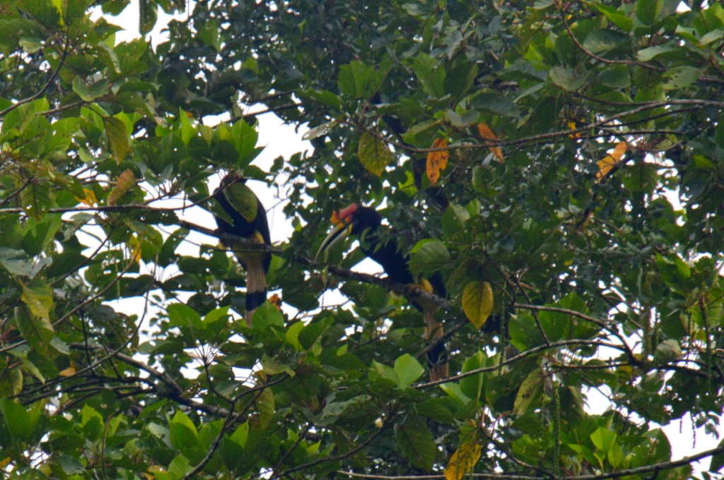
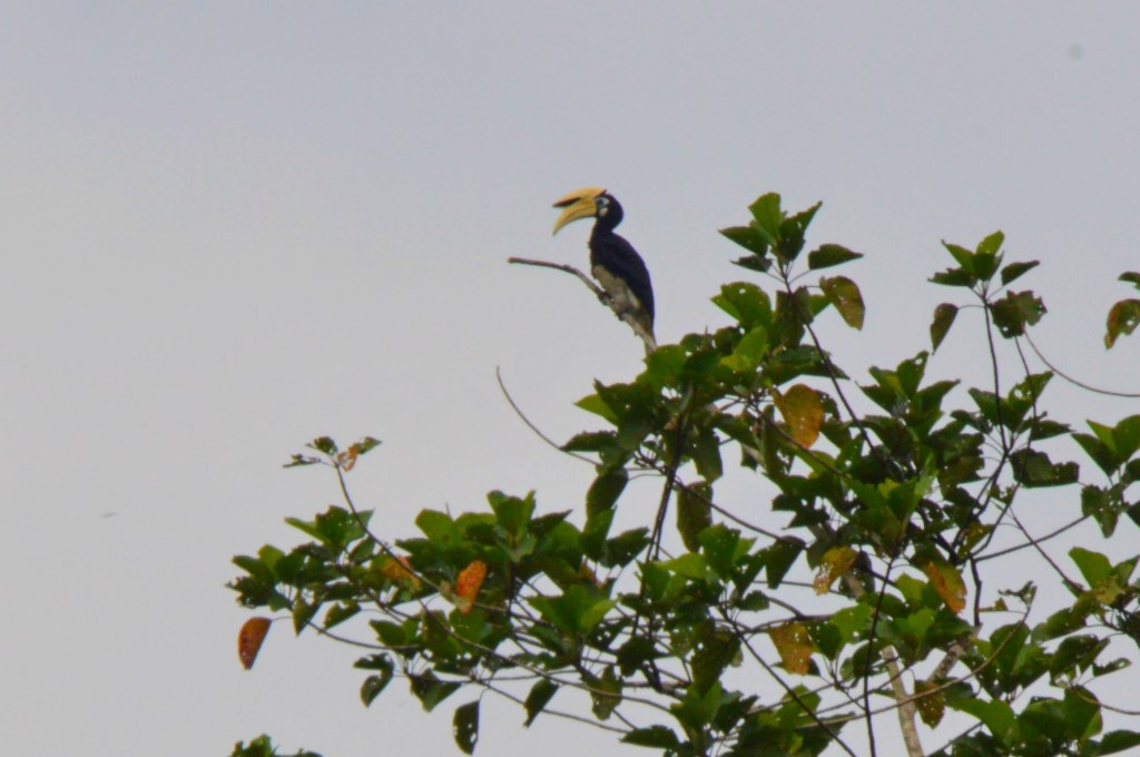
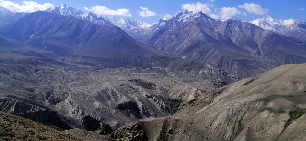
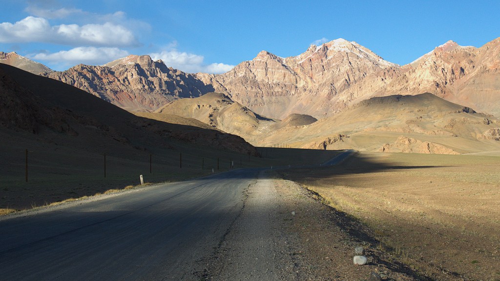
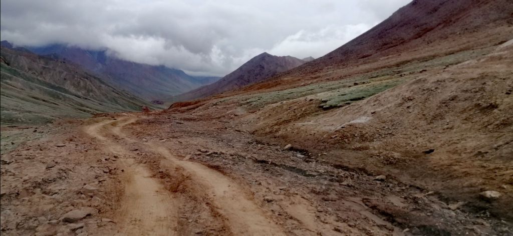
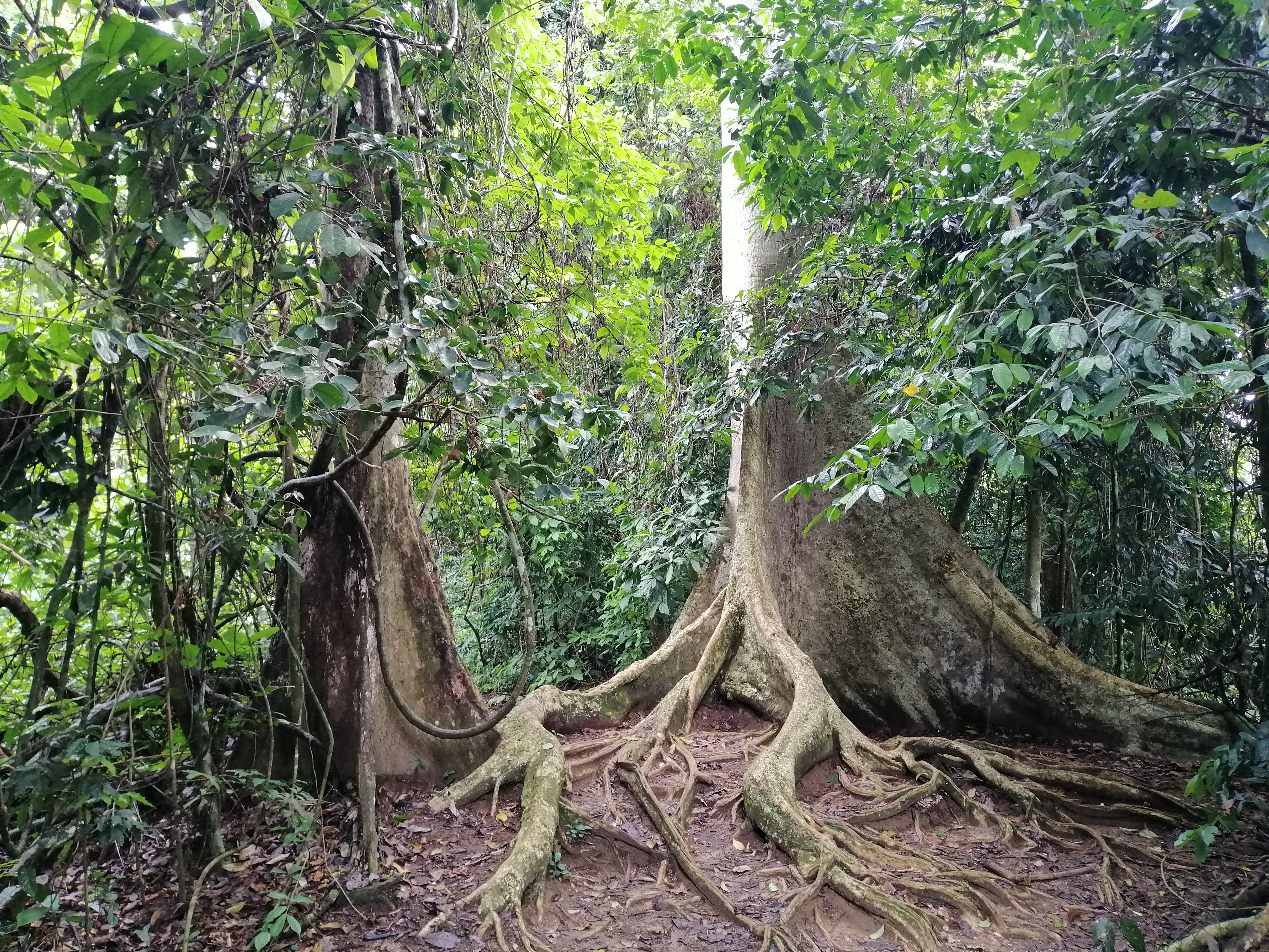
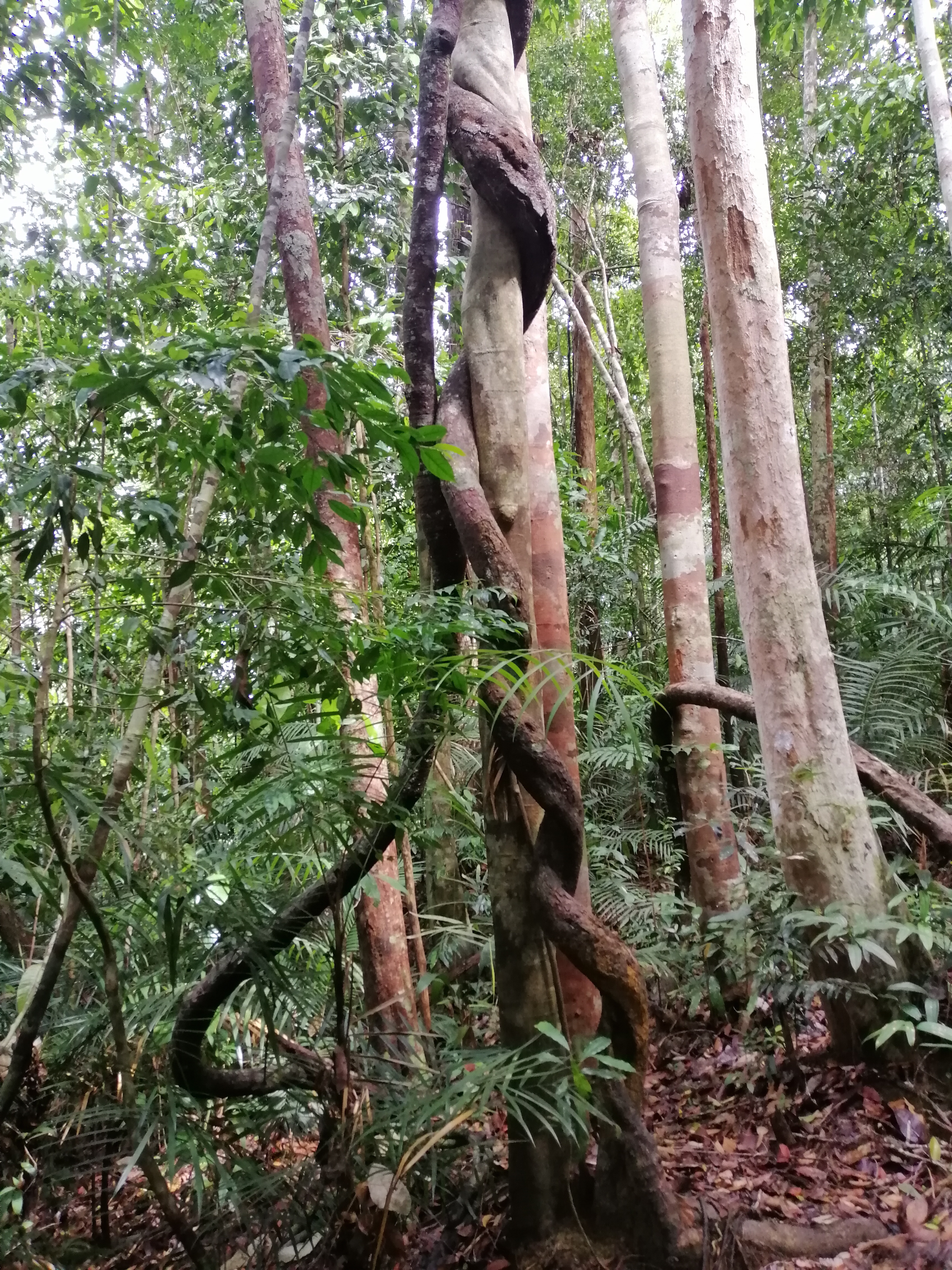
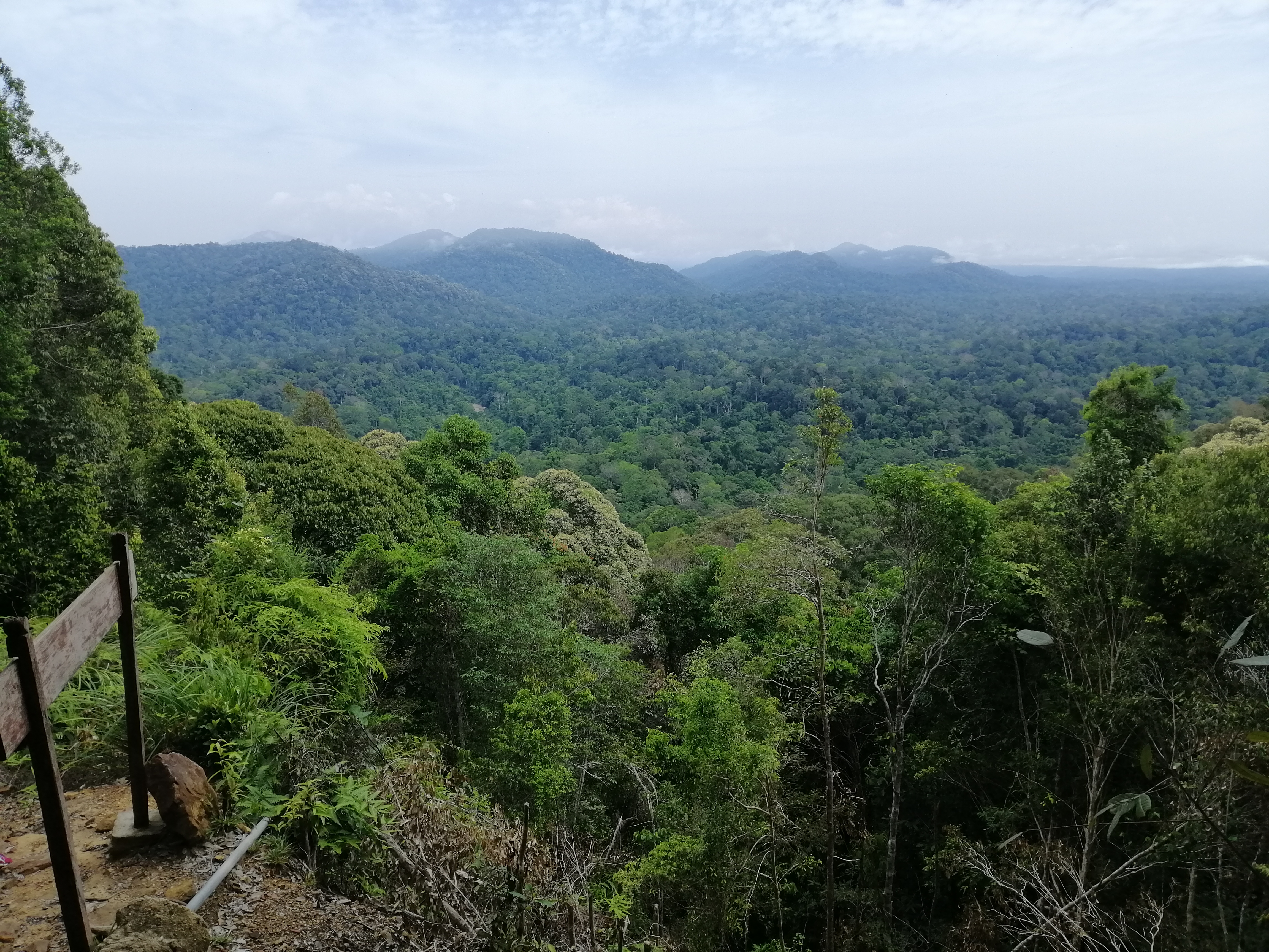
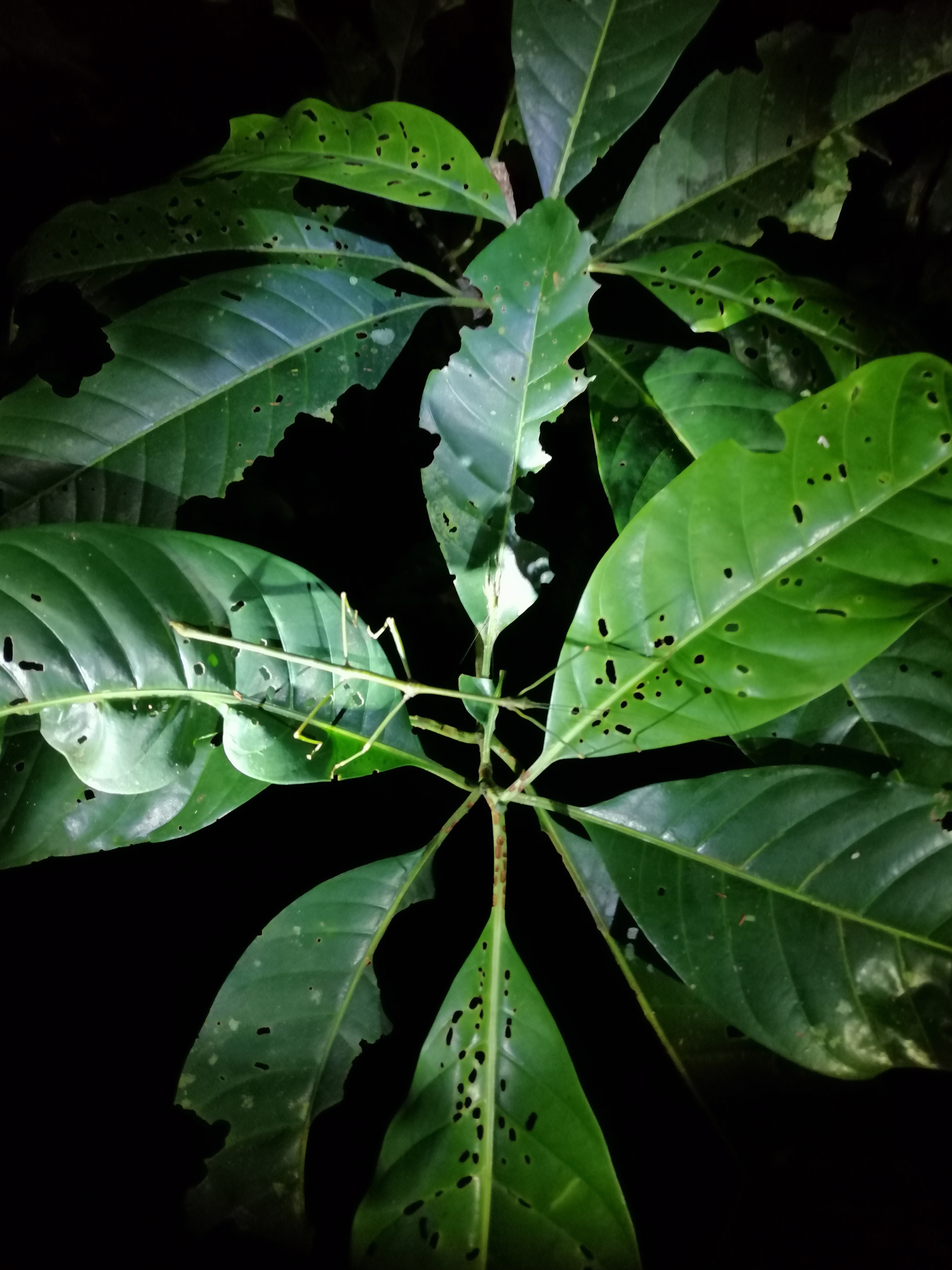
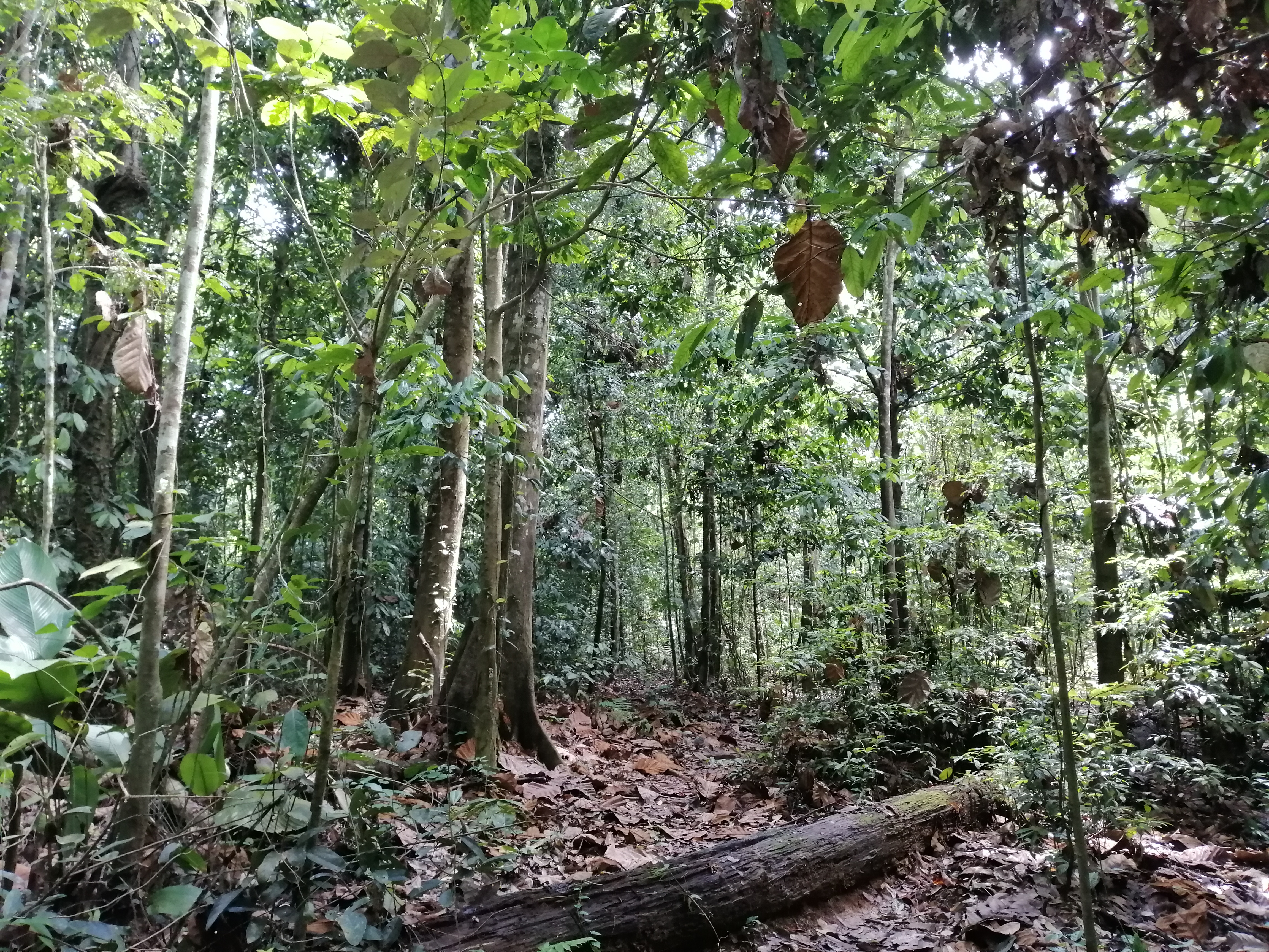
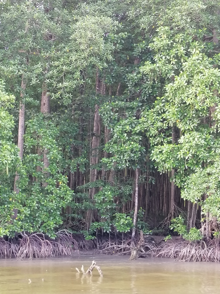
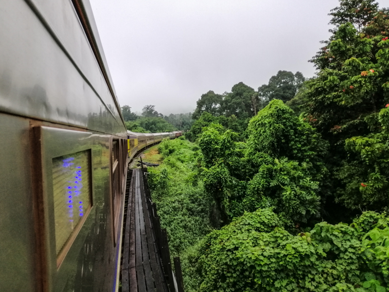
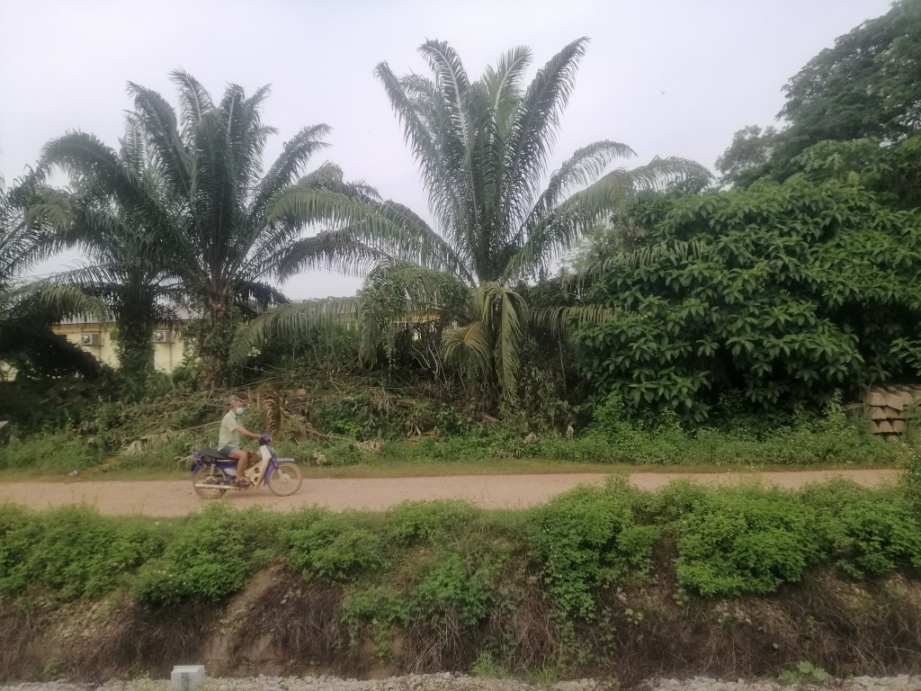
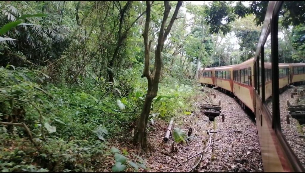
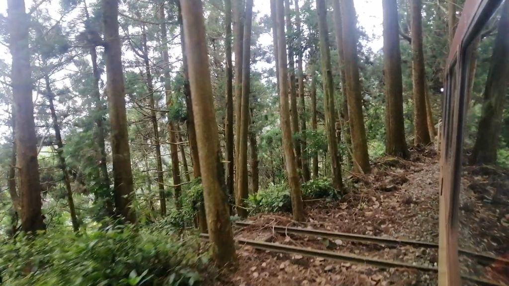
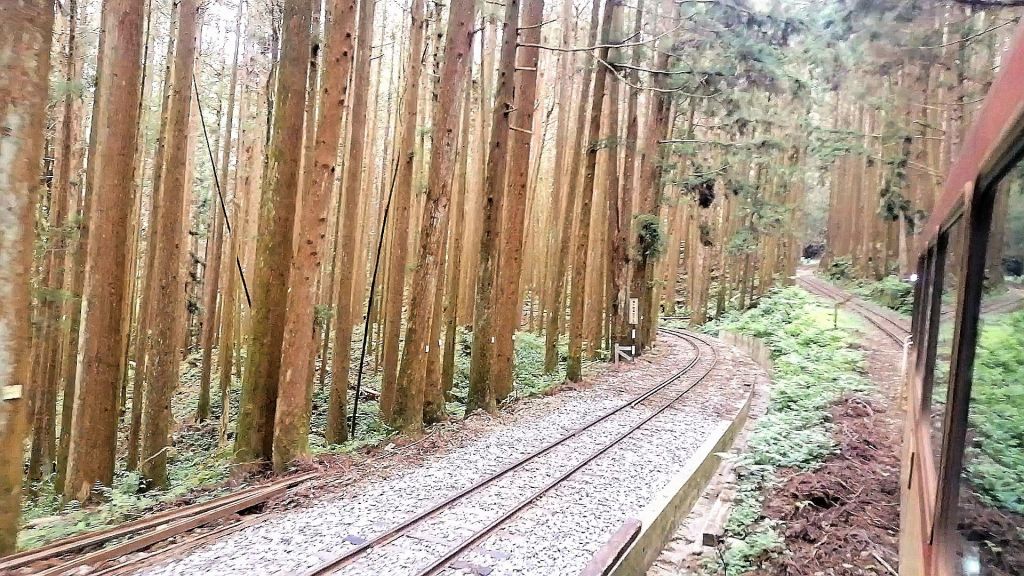
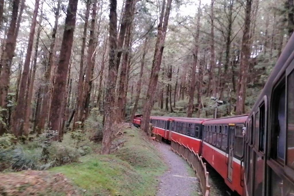
Elevation gain was palpable as the train skimmed past cut slopes as the train wound through cut slopes, tunnels, and road crossings. Hazy views opened onto forests, bamboo thickets, and valleys, punctuated by slender betel nut palms. Mululiao Station (324 m), fenced and overgrown, felt abandoned. Dense forest dominated both sides, with occasional glimpses of towns far below. Camphor trees, once abundant here, are now rare, though a few remain near Zhangnaoliao Station (543 m), which sits on a Z-shaped switchback.

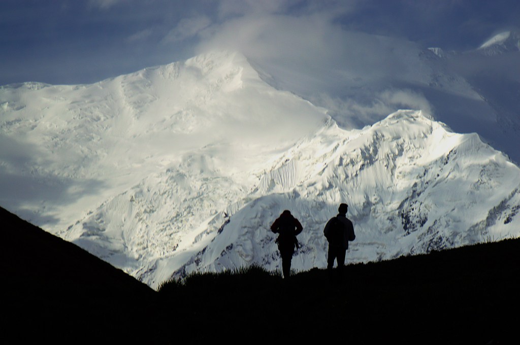
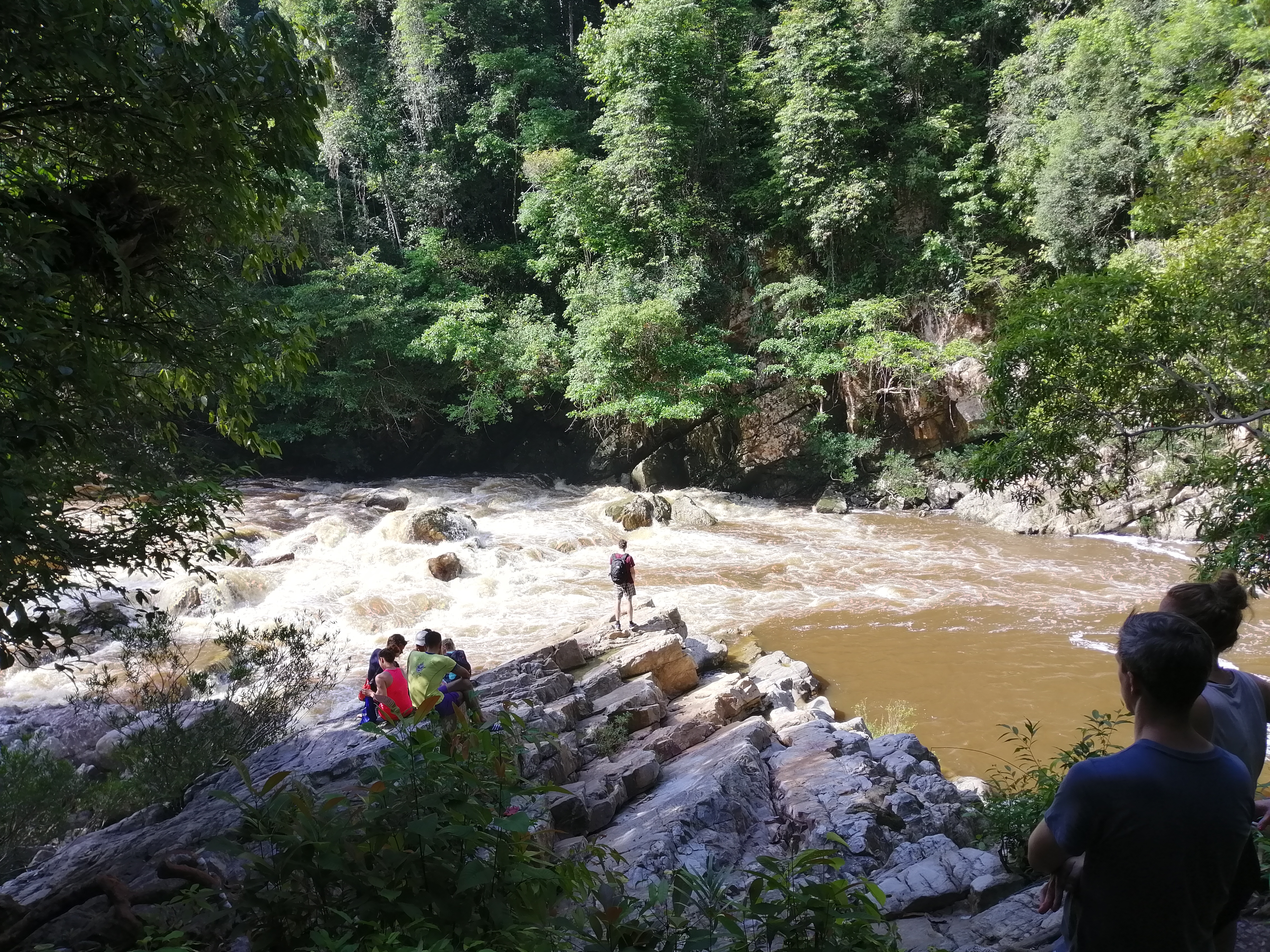
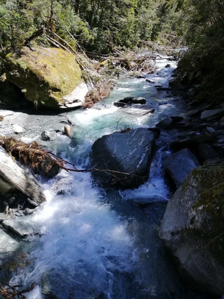
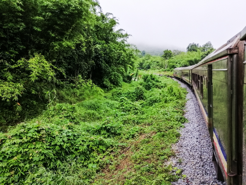
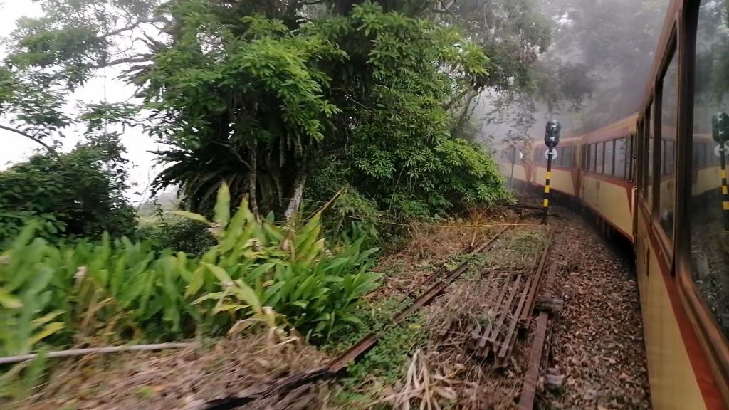
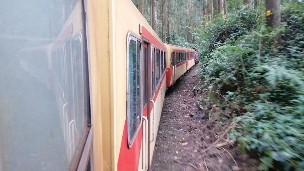
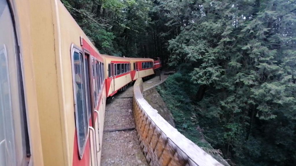
From here, the railway tackled the spectacular and gravity defying manoeuvre, Dulishan Spiral, the world’s longest spiral railway, gaining over 200 m through 11 tunnels. Like a snake coiling upward, the train screeched around tight curves and switchbacks — a remarkable feat of engineering. Past landslide scars revealed the constant struggle to keep the line open in harsh weather.


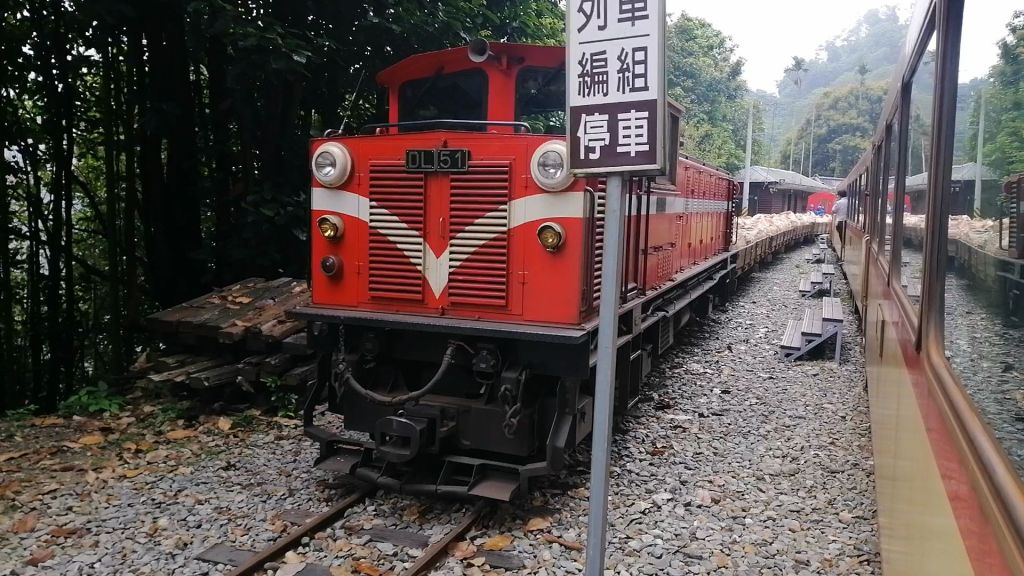
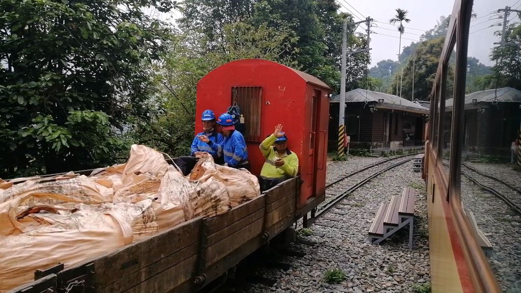
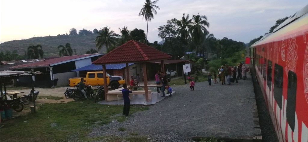
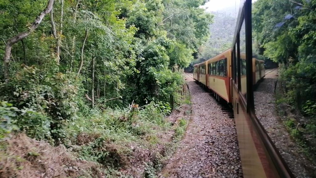
At Dulishan Station (743 m), another red diesel train departed with construction materials and track crews. Villagers and hikers disembarked, reflecting the railway’s continued role in mountain life. Stone retaining walls lined the embankments, and as we climbed higher, the light dimmed under cloud cover.
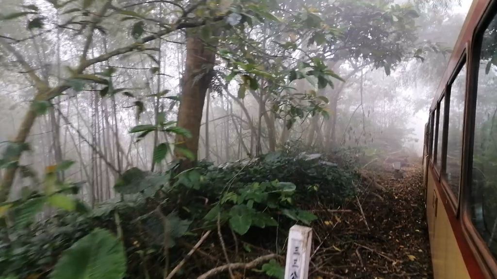
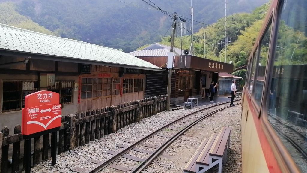
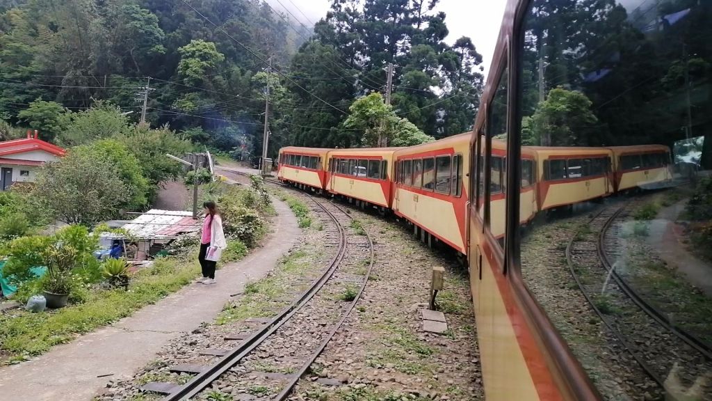
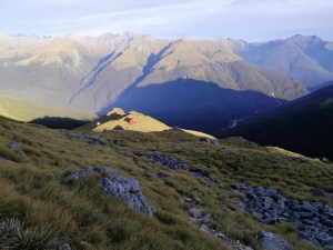
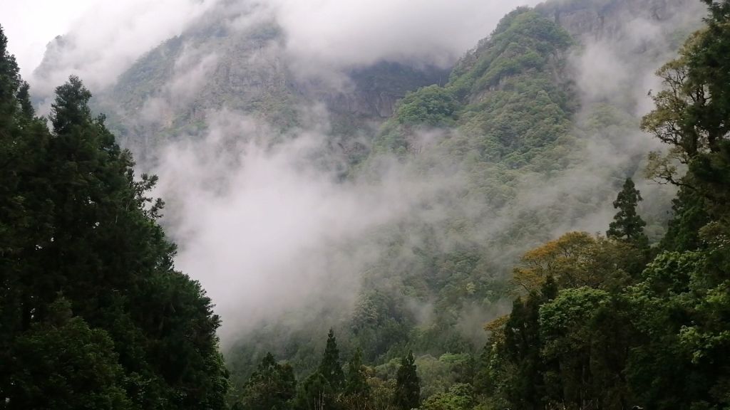
We arrived slightly late at Liyuanliao Station (904 m), where four foreign travellers boarded after arriving by taxi — a reminder that roads now link these villages, unlike the railway’s early days. Soon after departure, we entered a misty Alishan world. Fog enveloped the train, swallowing even the front coaches. Bamboo, ginger plants, and forest silhouettes faded in and out, and at Jiaoliping Station (997 m), the cooler air was unmistakable.
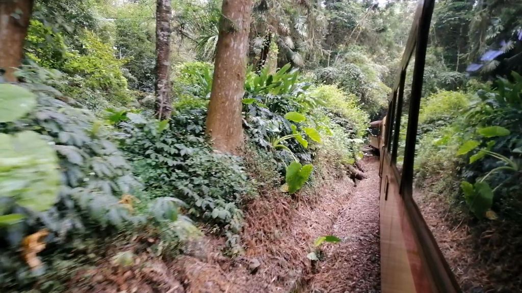
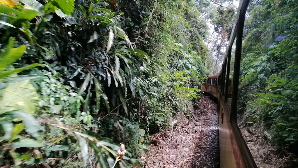
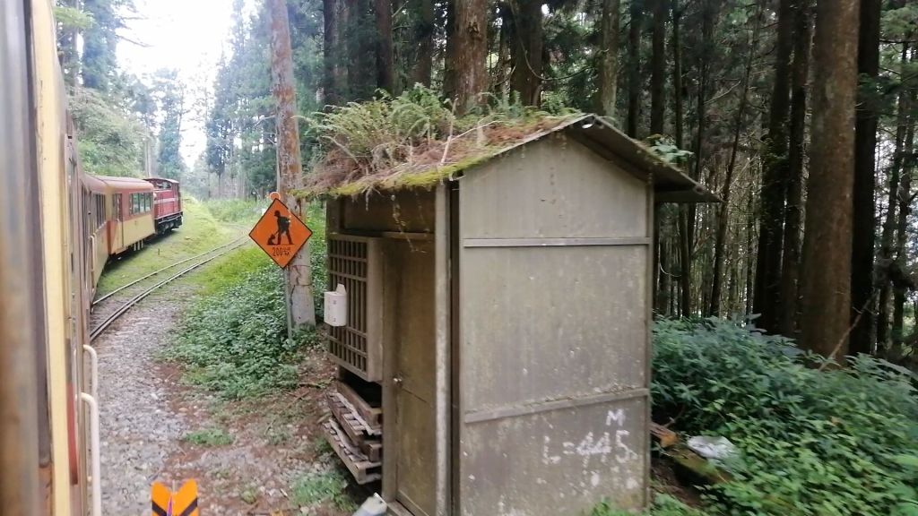
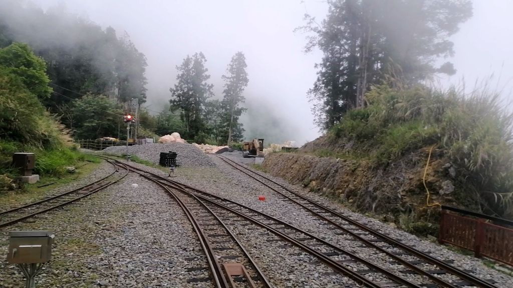
The locomotive continued weaving through forests and tunnels, crossing roads and passing increasingly frequent cedar trees. Near Shuisheliao Station (1,186 m), the track briefly doubled before merging again — this section contains the most tunnels between any two stations.
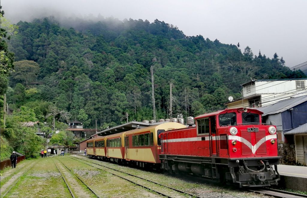
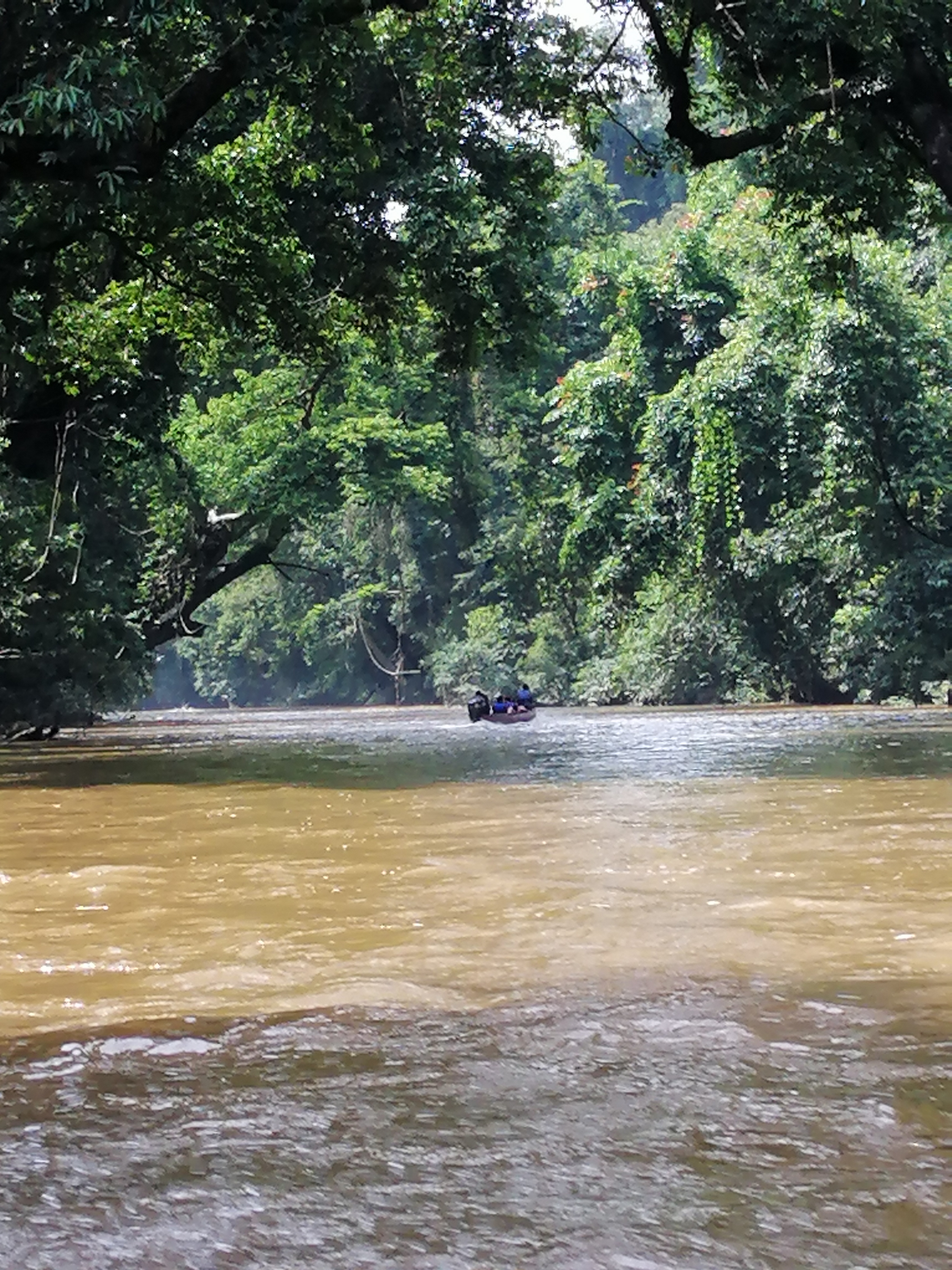
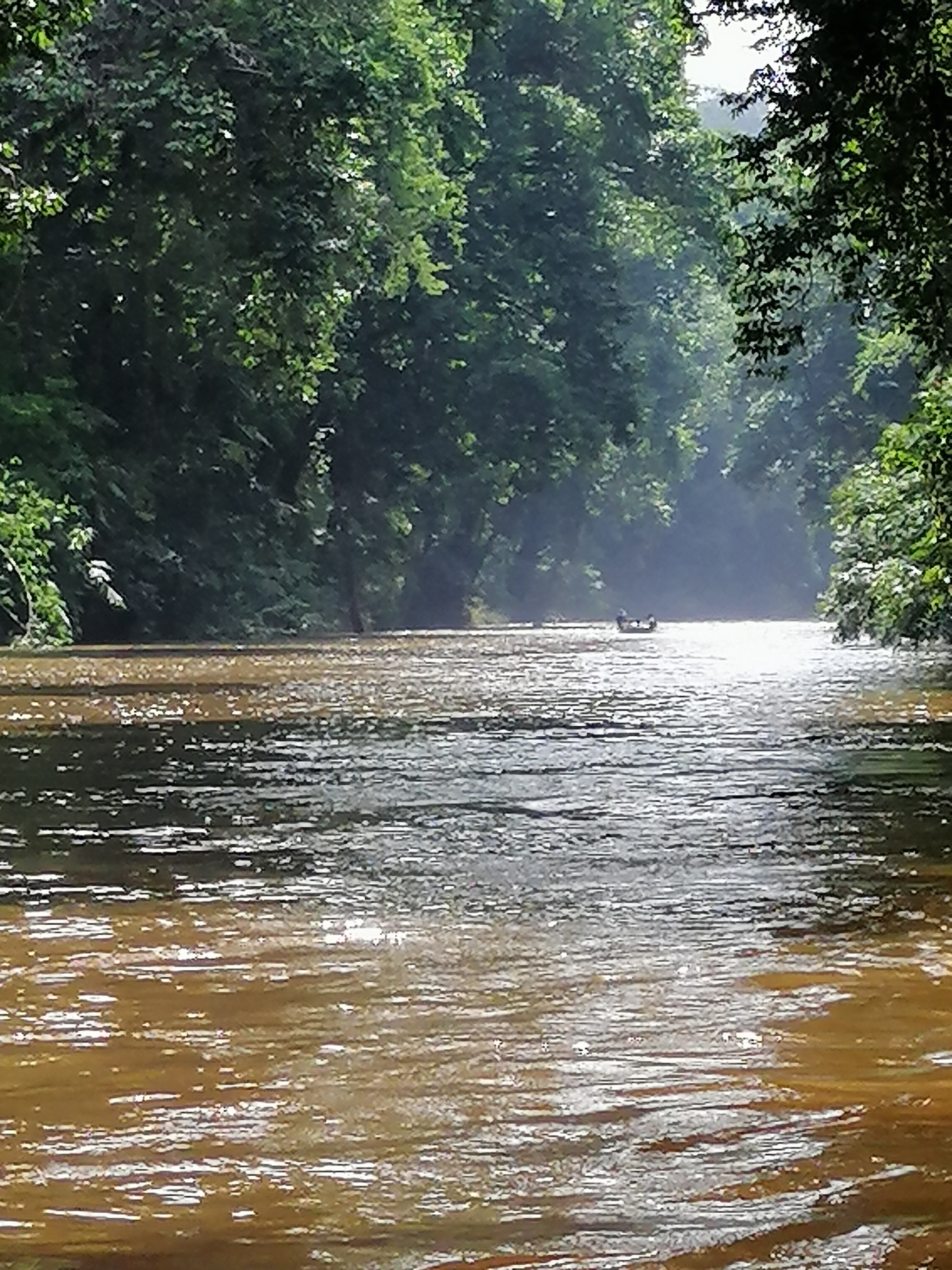
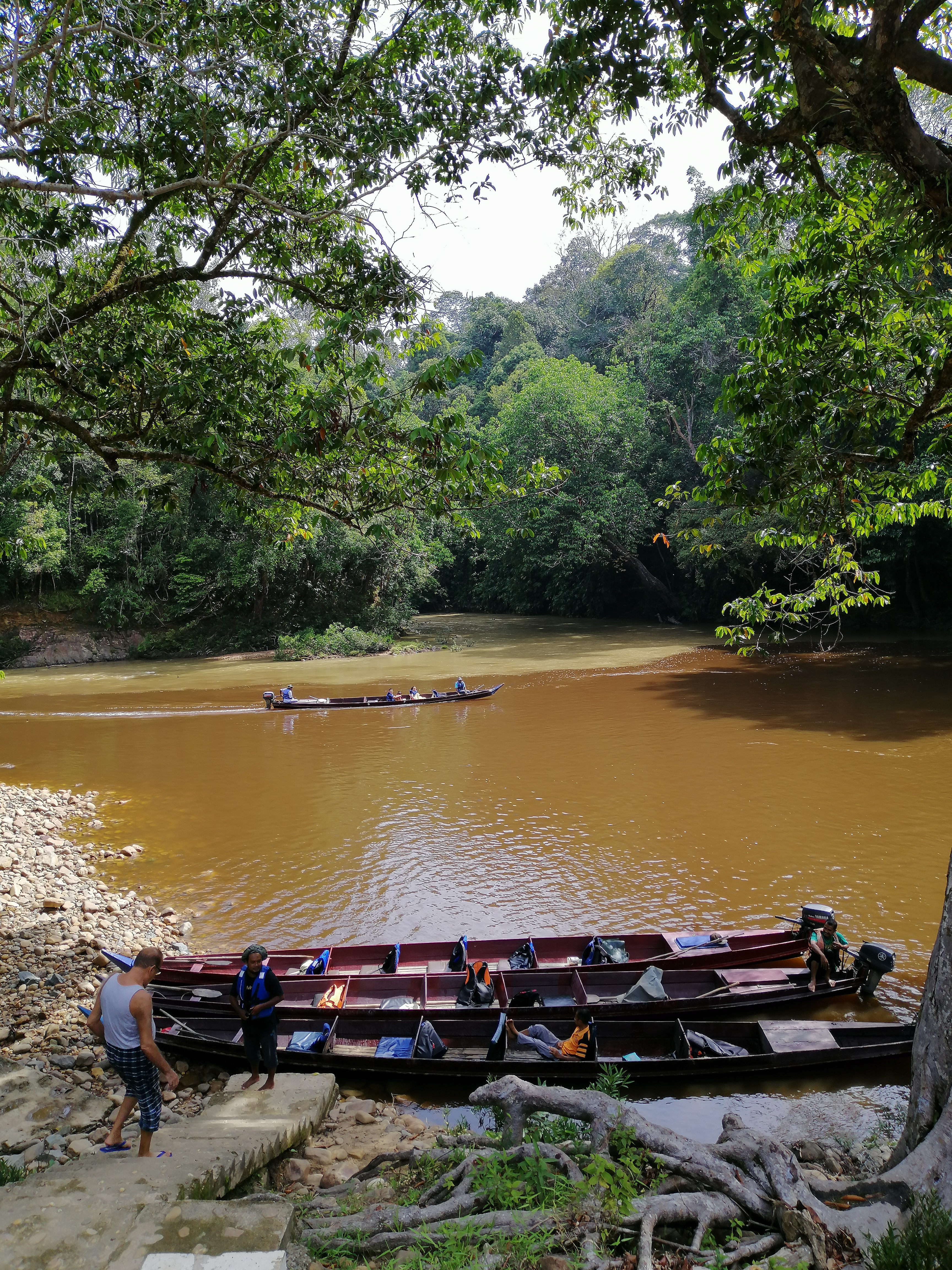
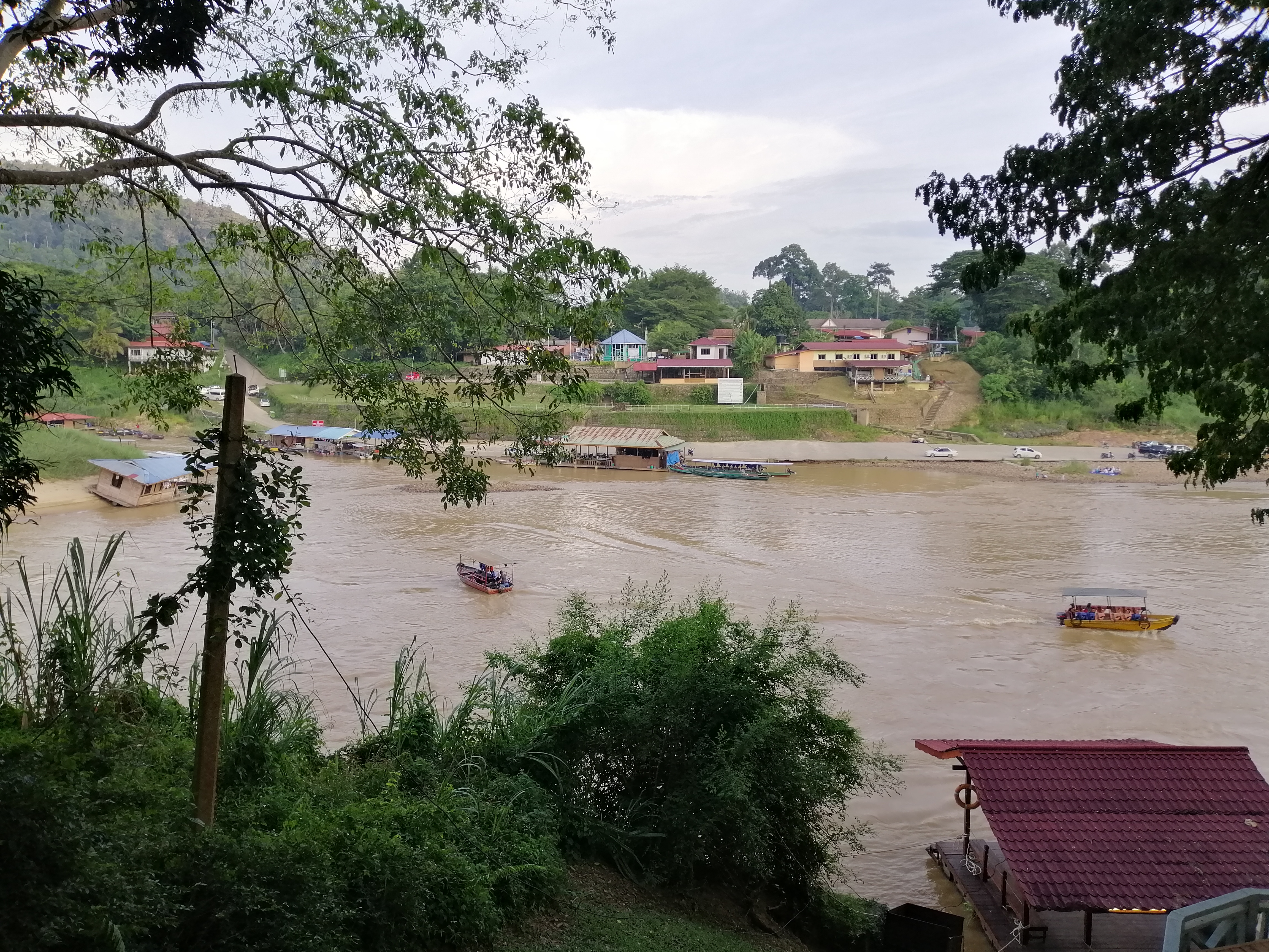
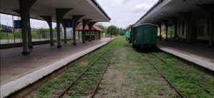
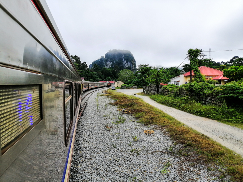
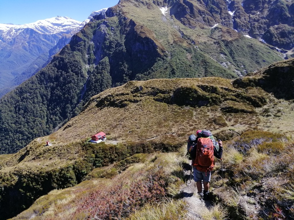
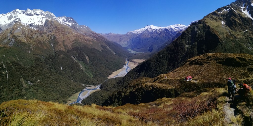
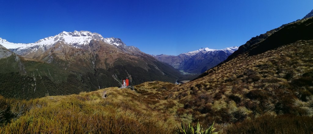
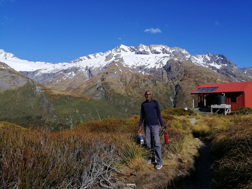
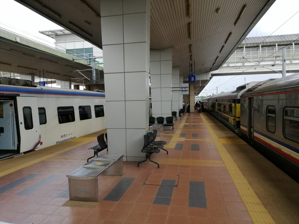
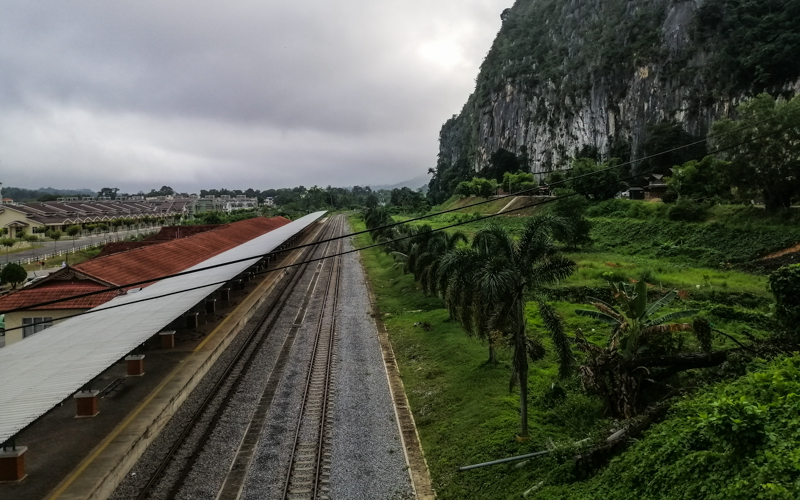
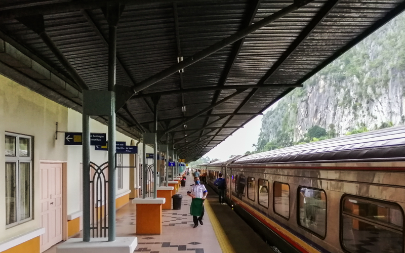
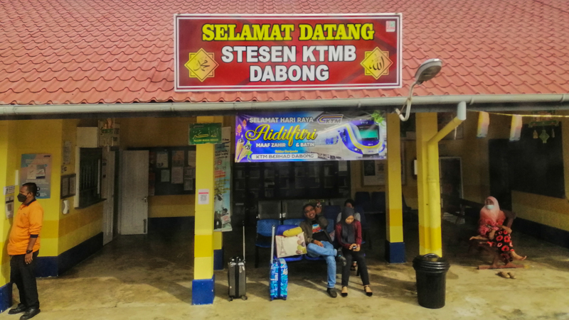
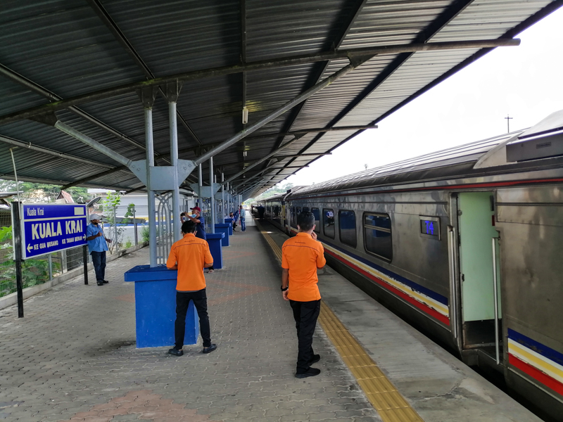
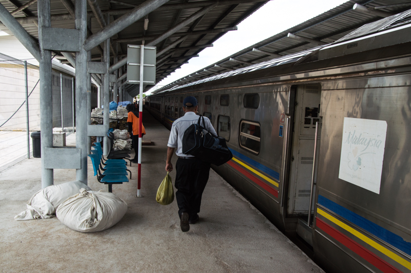
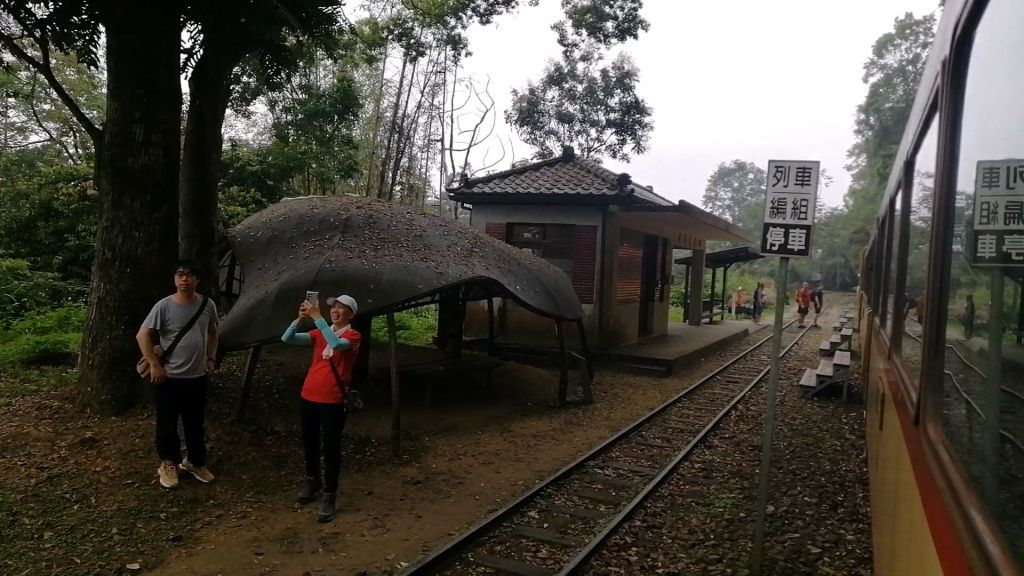
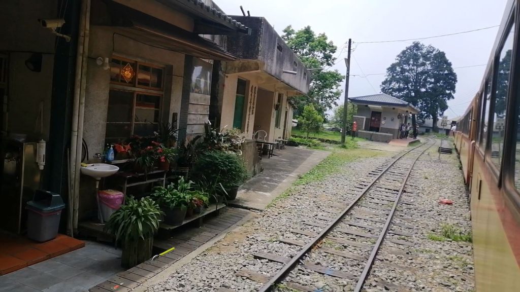
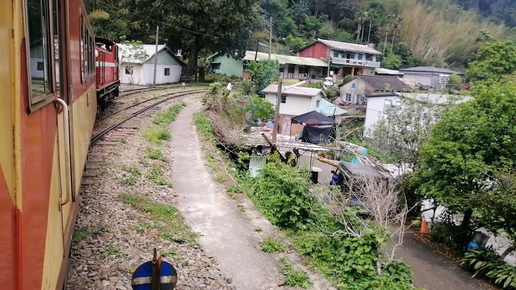
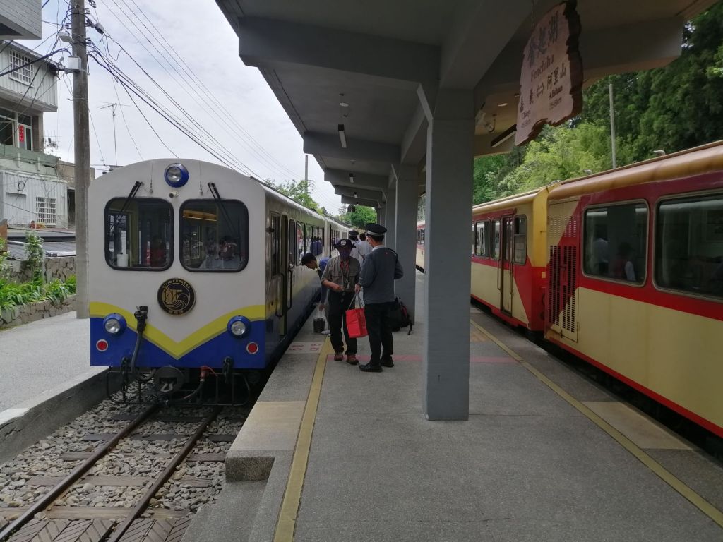
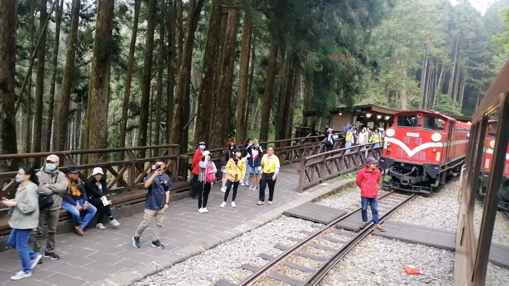
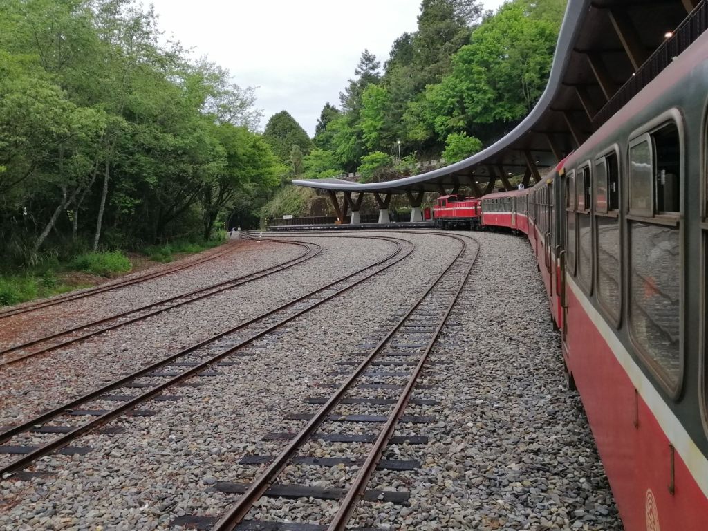
Our journey for the day ended at Fenqihu Station (1,403 m), where multiple tracks and railway workers signalled a busy mountain hub. We had covered 45.52 km in about 2.5 hours on this historic forest train, completing the first leg of the Alishan Forest Railway adventure. This Alishan Express 1 continued and terminated at Shizulu.
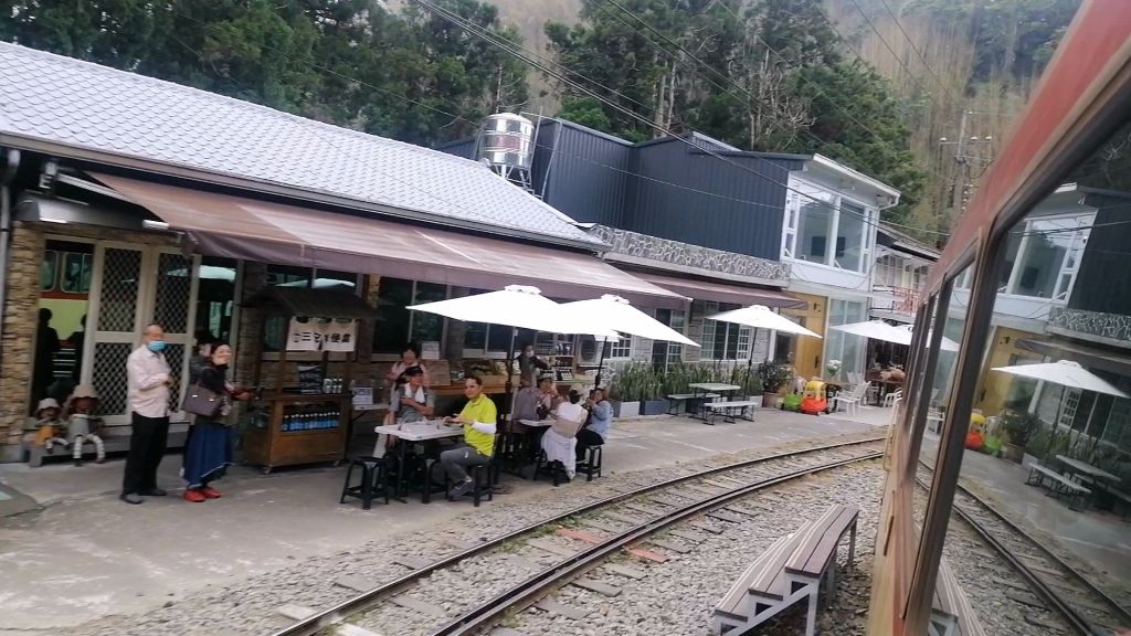
Fenqihu – more than a one hour bento transit on the Alishan Forest Railway.
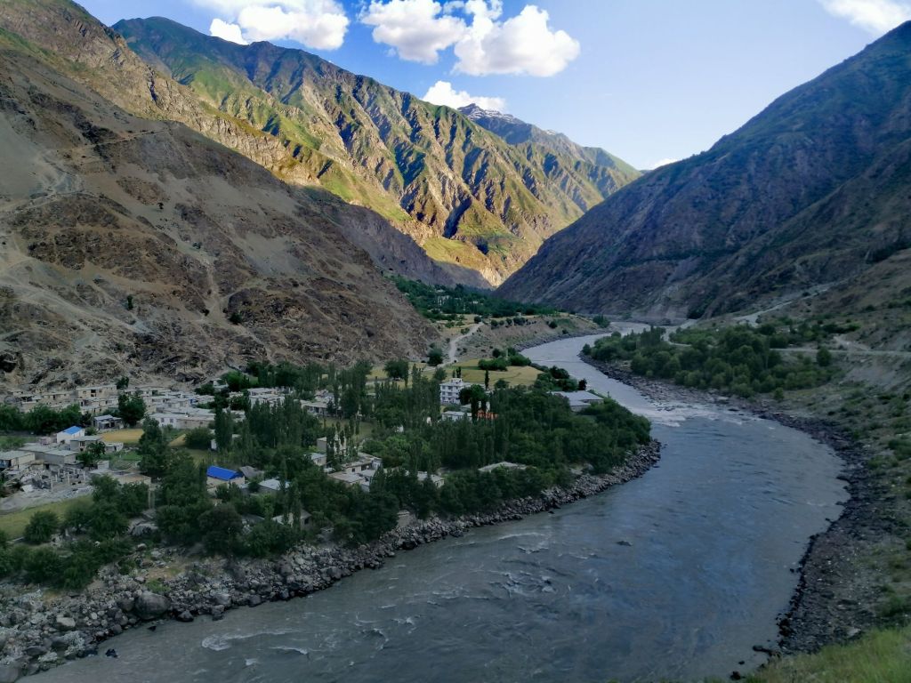
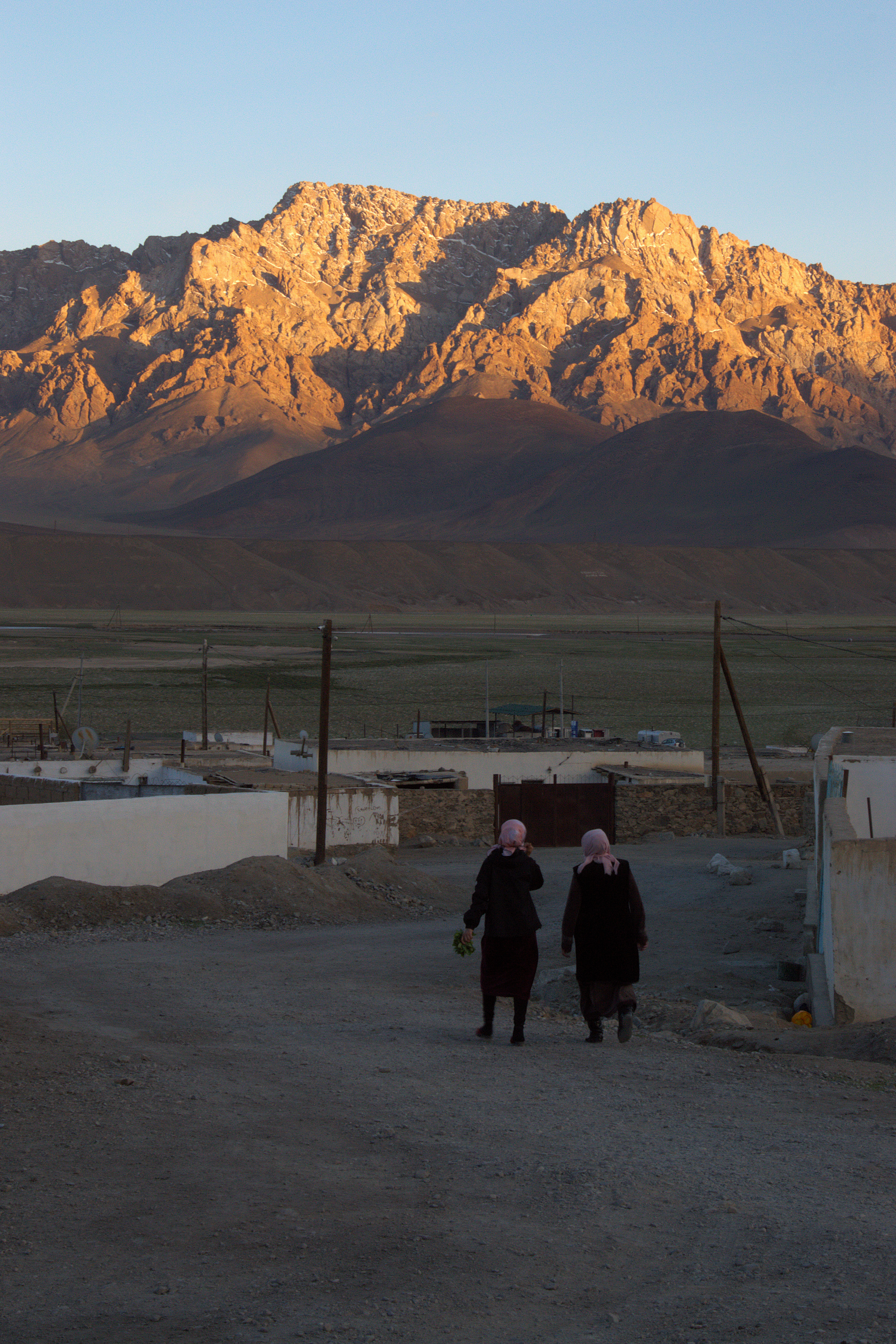
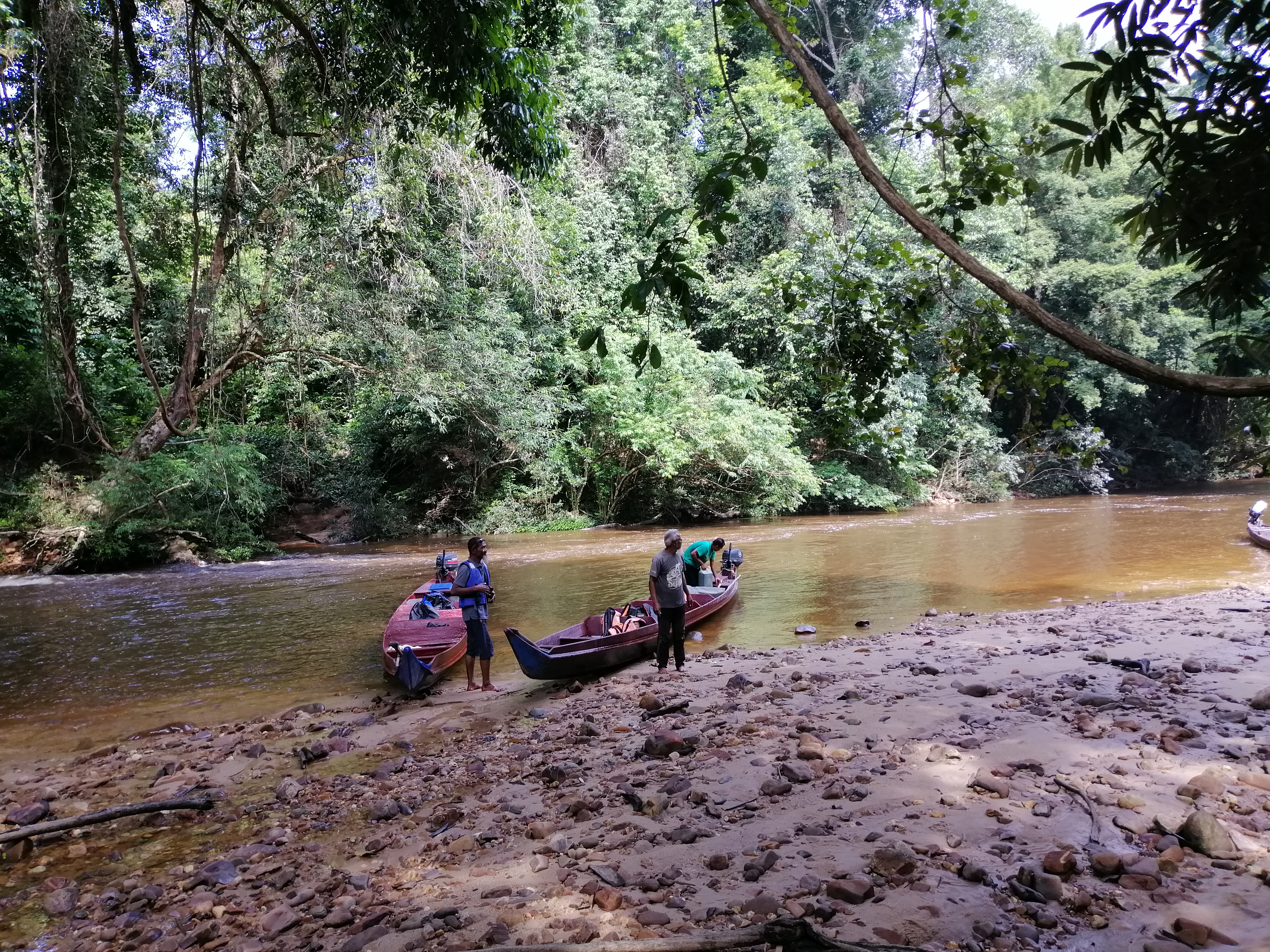
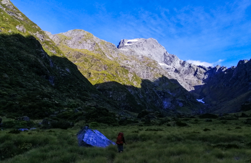
Surrounded by mountains on three sides, Fenqihu was established during the Qing Dynasty and offers far more than a brief stop. Each train arrival sparks a flurry of activity, reminding visitors that the Forest Railway remains a lifeline for mountain communities and a link to the region’s cultural and natural heritage.
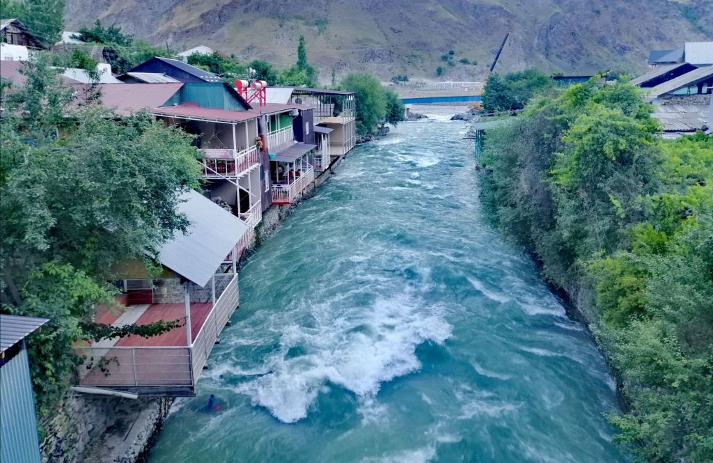
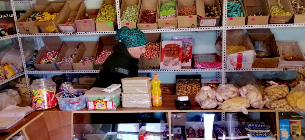
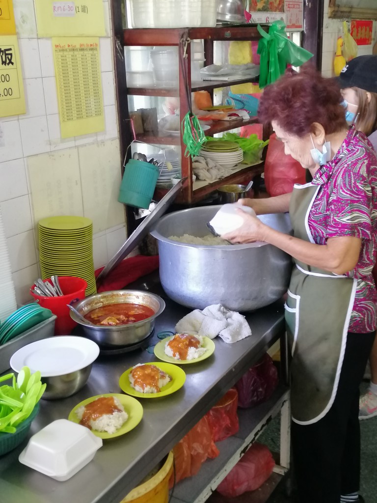
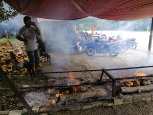
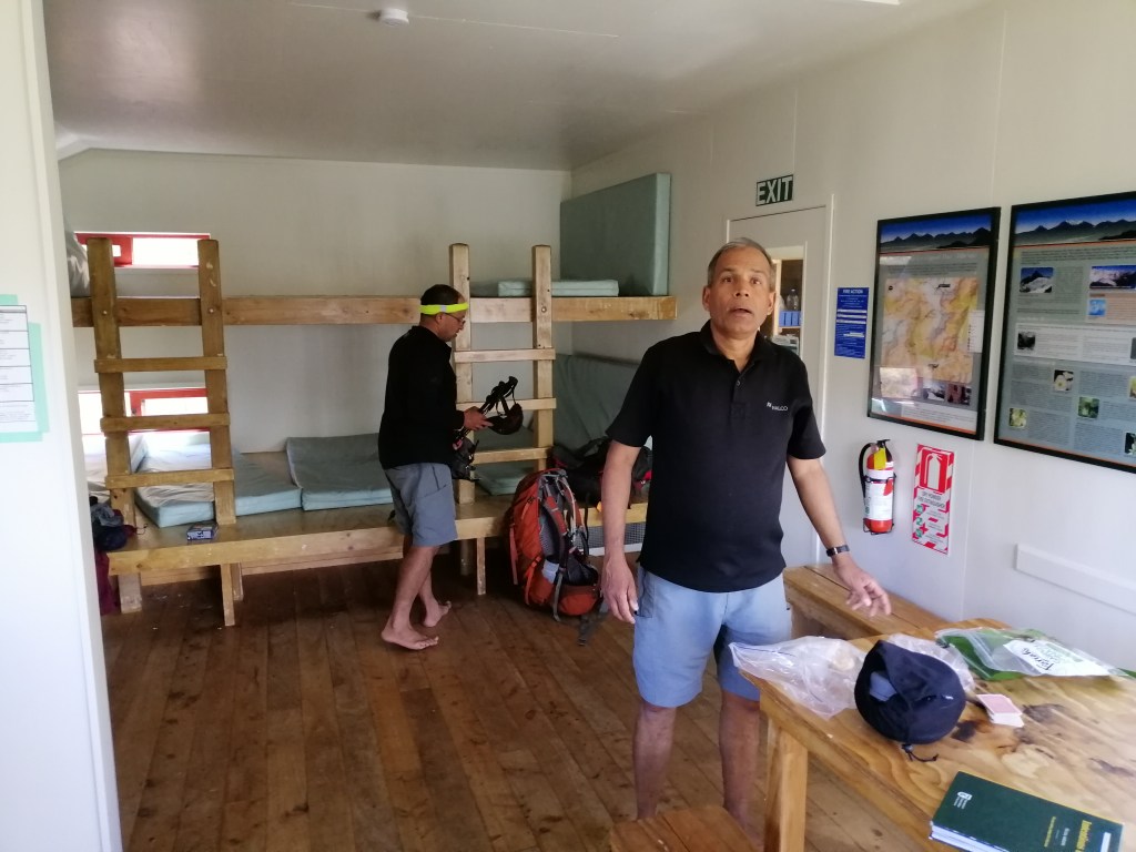
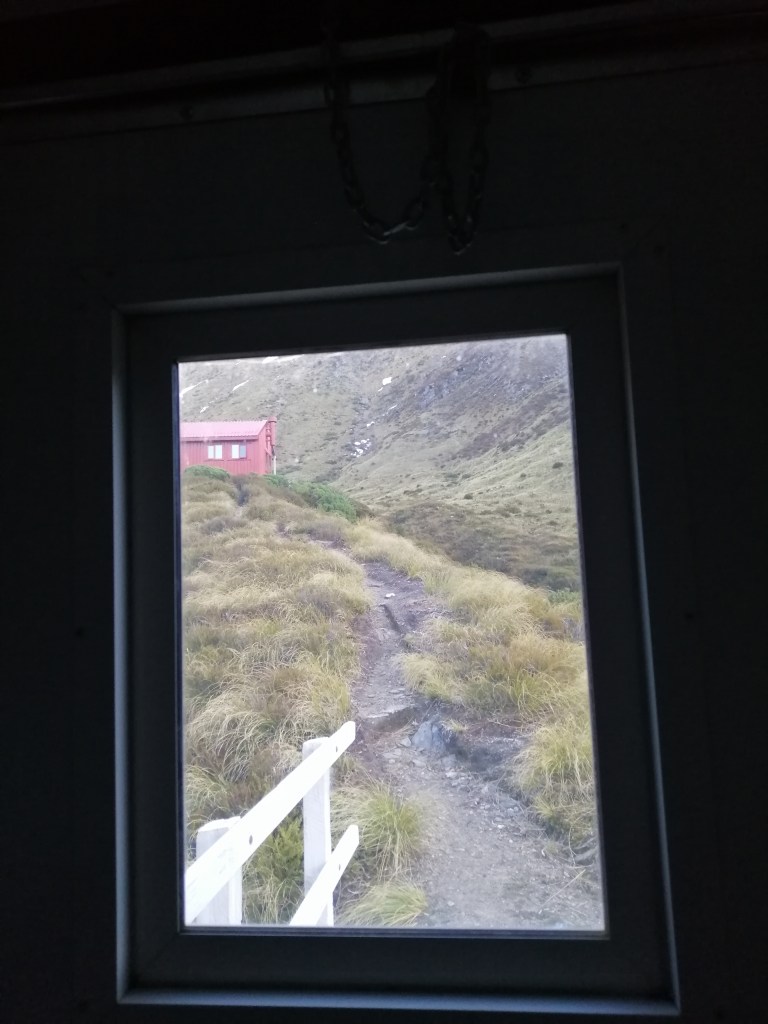
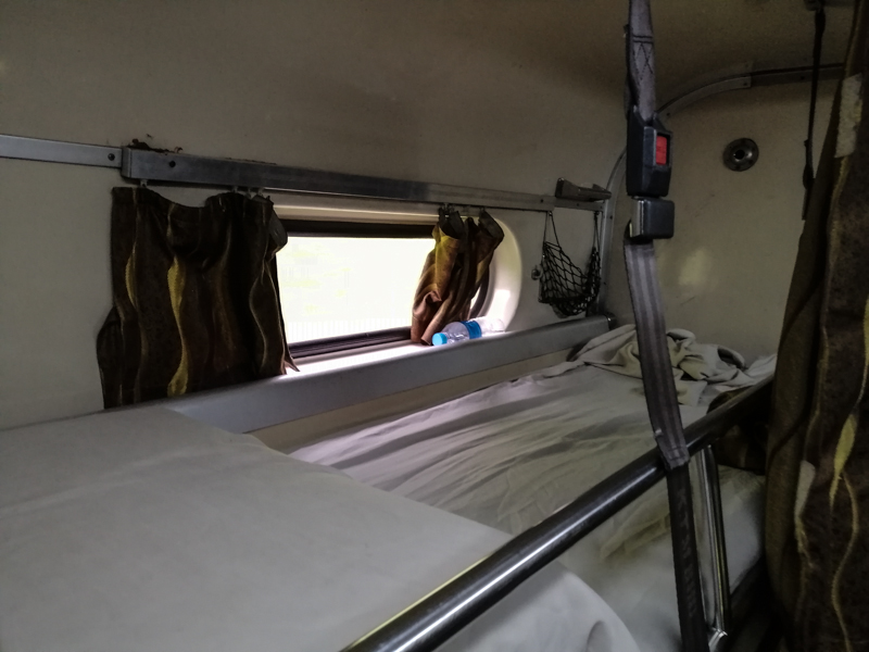
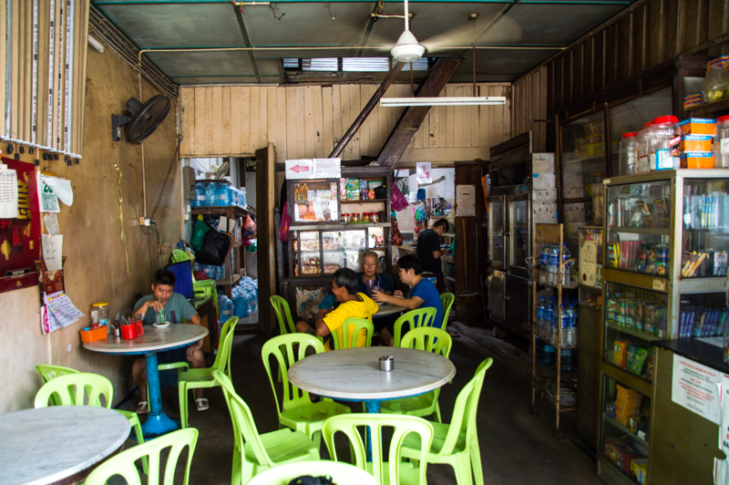
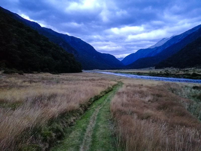
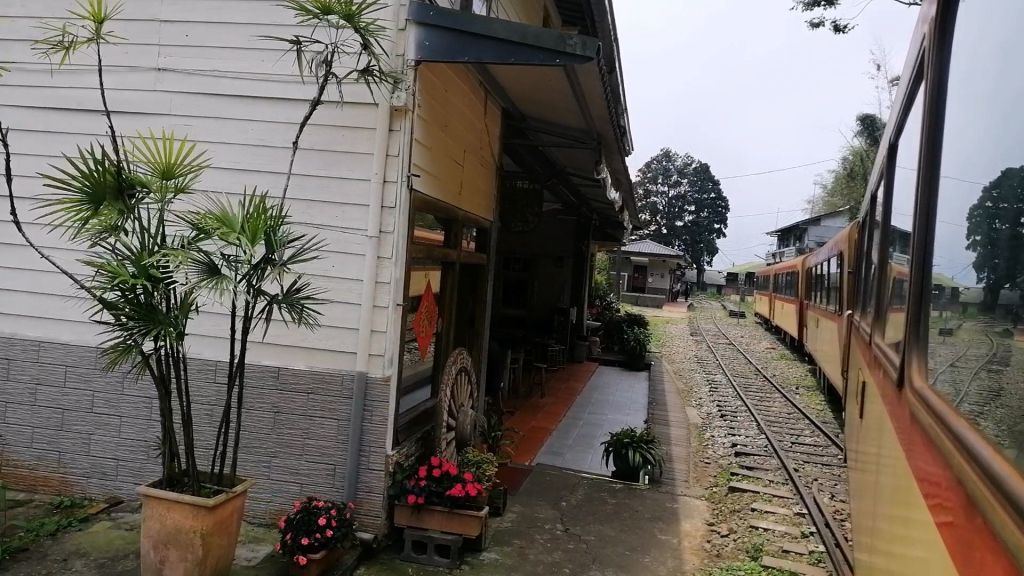
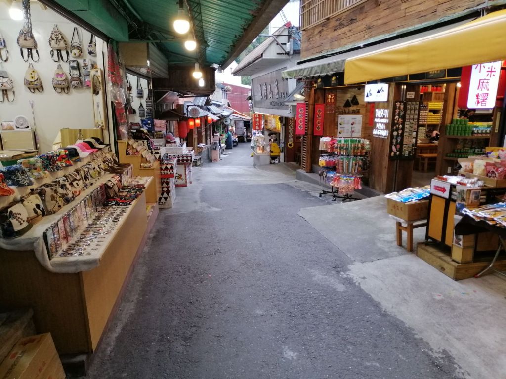
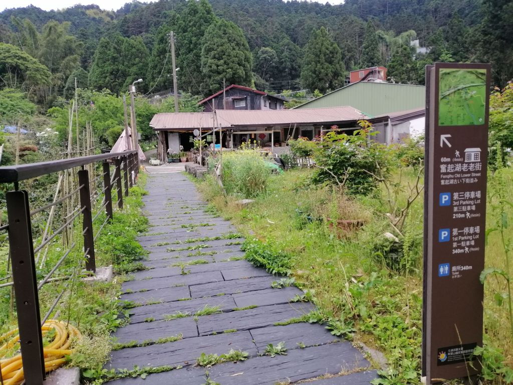
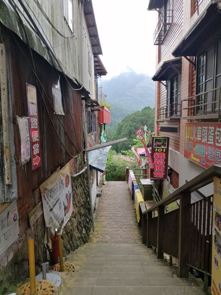
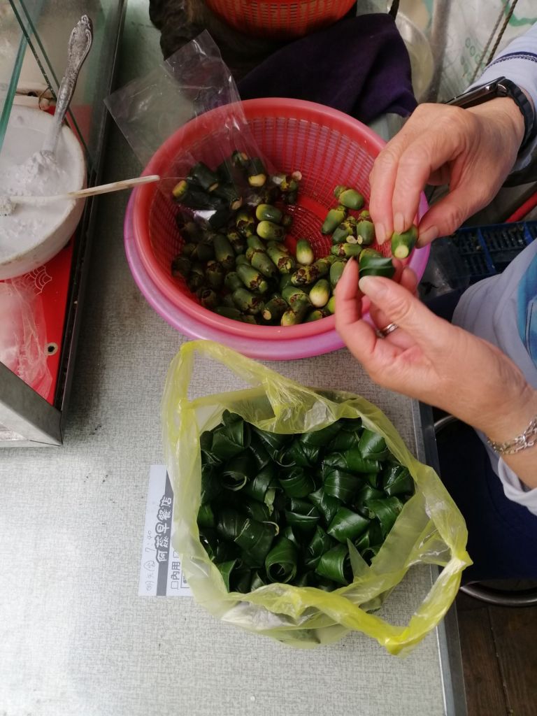
Local businesses depend heavily on railway tourism. We stayed at Fenqihu Hotel along the stone-paved Old Street, which stretches about 500 m from the station and is lined with shops selling local snacks, souvenirs, and crafts. The hotel served the famous Fenqihu bento — once a practical meal for railway workers during lunch stops at this major hub, now more of a marketed experience. It was decent, though not a highlight.

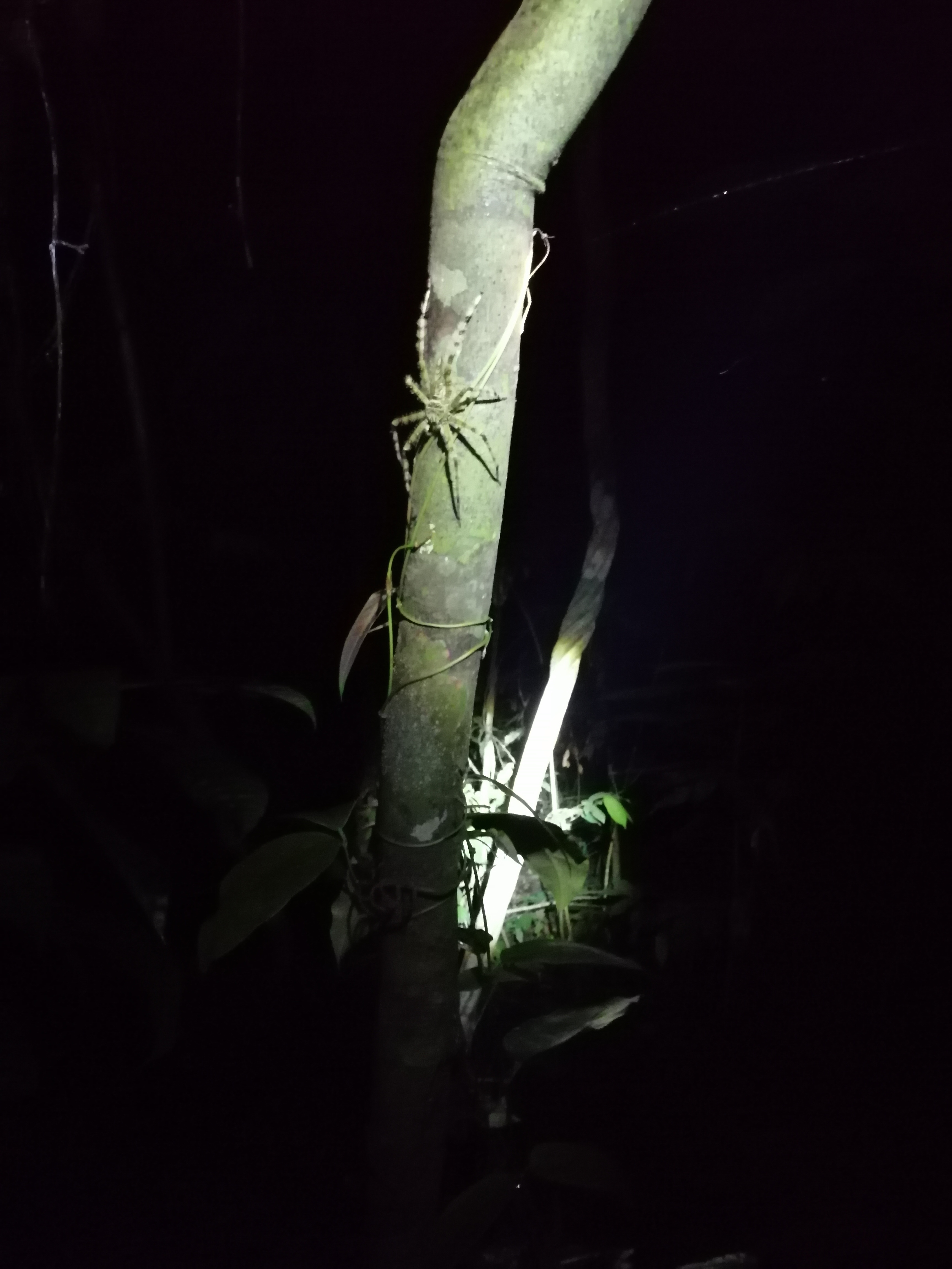
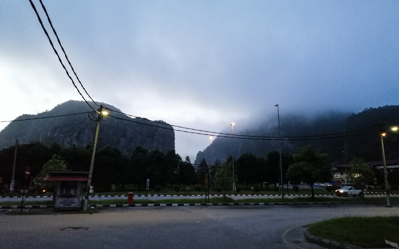
Fenqihu is a charming place to spend the night. Beyond watching heritage trains come and go and wandering backstreets, several trails wind through ancient cedar forests, historic routes such as the Ruili Trail, and groves of distinctive square bamboo. As evening approaches, the village quiets, mist rolls in, and temperatures drop — perfect for tea or coffee.
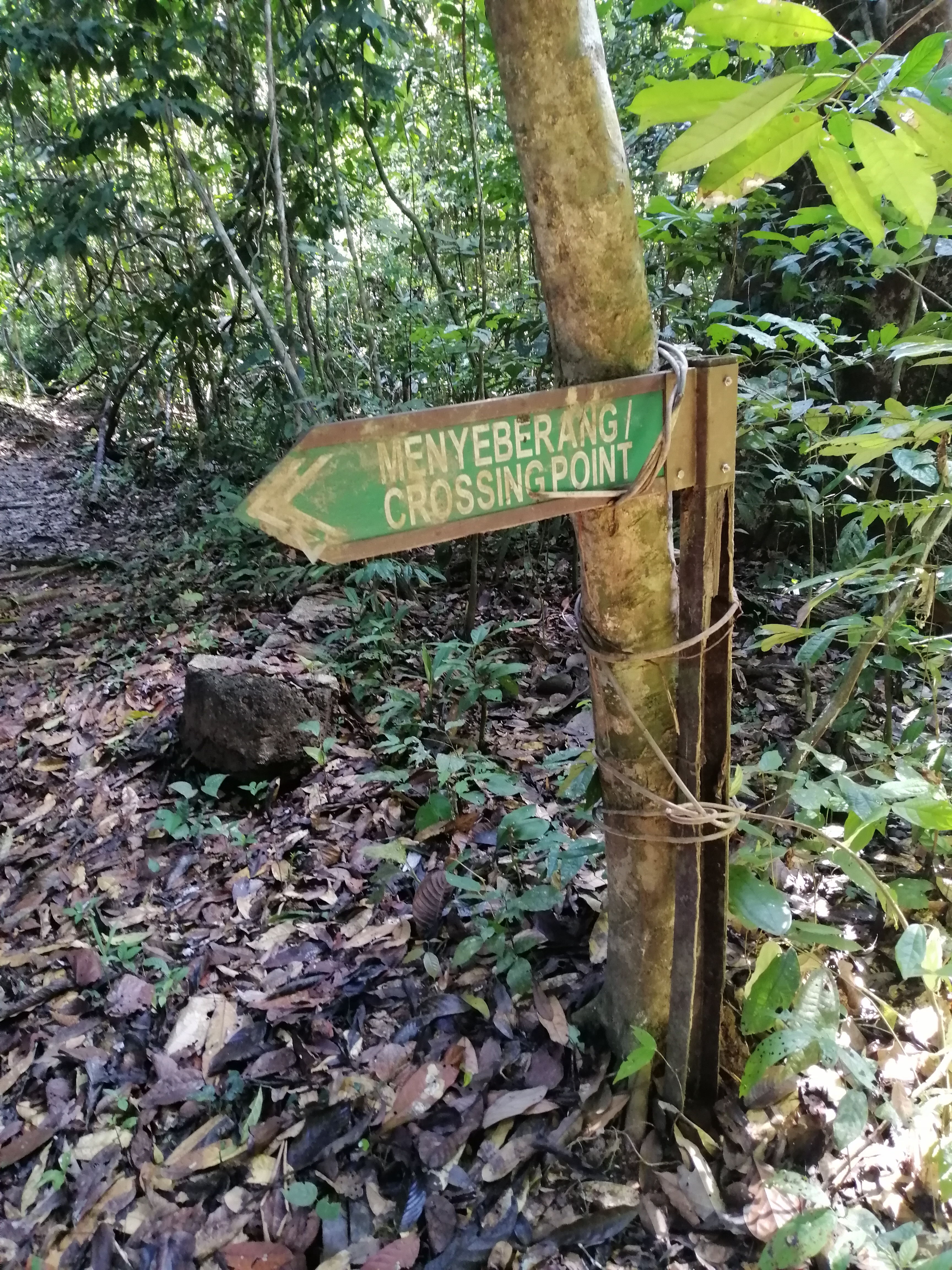
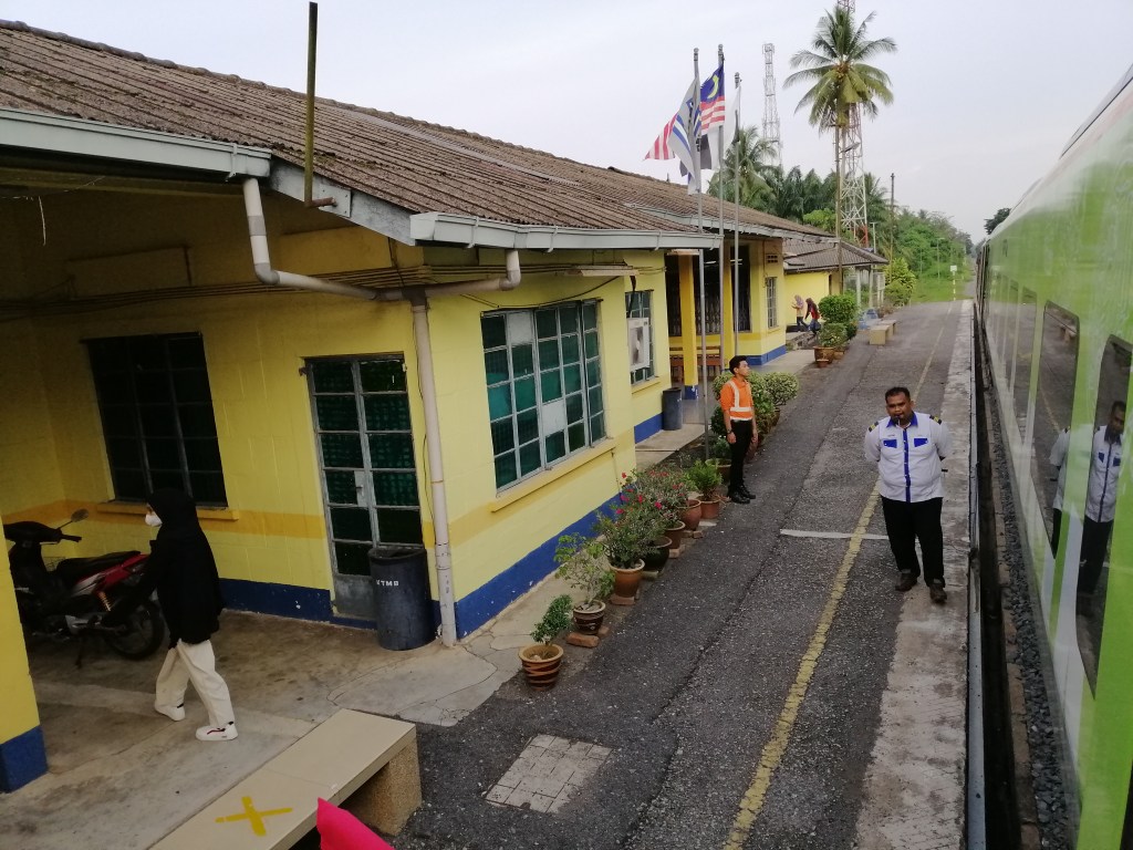
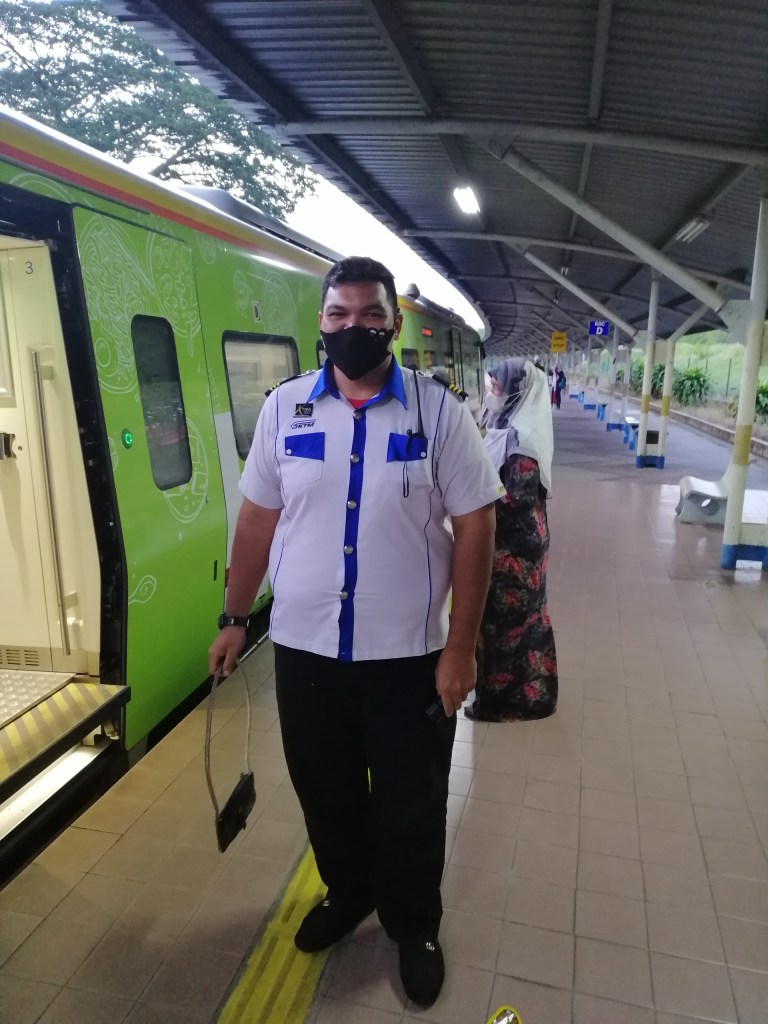
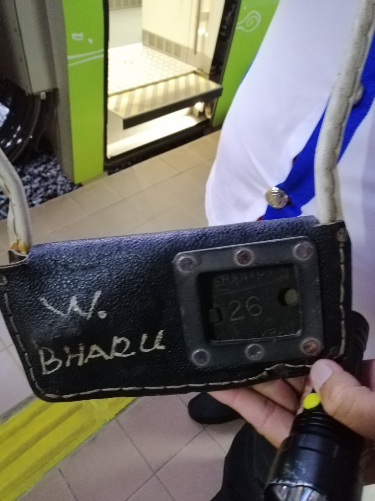
One traditional railway practice still survives here: the exchange of single-line tokens -to confirm the right of way of individual trains running on single line tracks, between train engineer and station master, a ritual lost on most modern railways.
After our beno lunch, we began exploring from the station as thick fog settled over the forest canopy. Across the tracks, clumps of rare square bamboo caught my eye — a first for me. From the elevated road above the station, we enjoyed a bird’s-eye view of railway activity before stopping at Kiyota Alley Coffee Shop, run by Allen. The coffee was excellent, and we promised to return.
Next was the heritage Train Garage, featuring steam locomotives, a model of the Dulishan Spiral, and railway exhibits. Soon, a blue diesel engine arrived from Alishan before departing again, keeping the pulse of the railway humming.
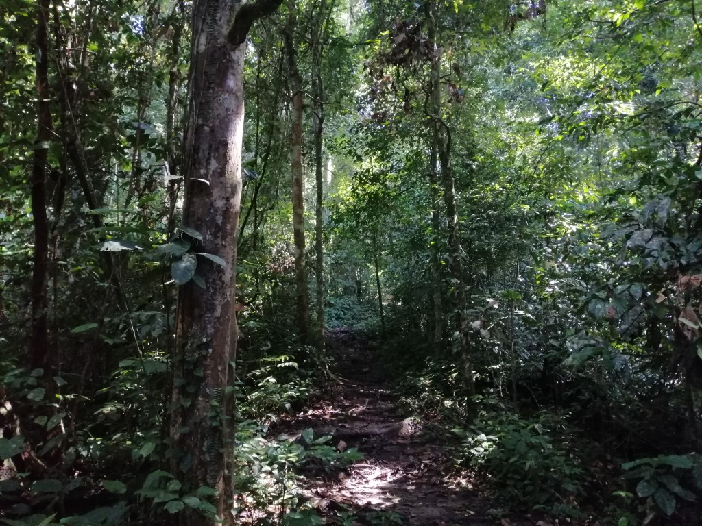
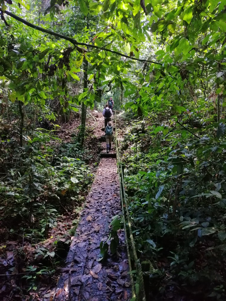
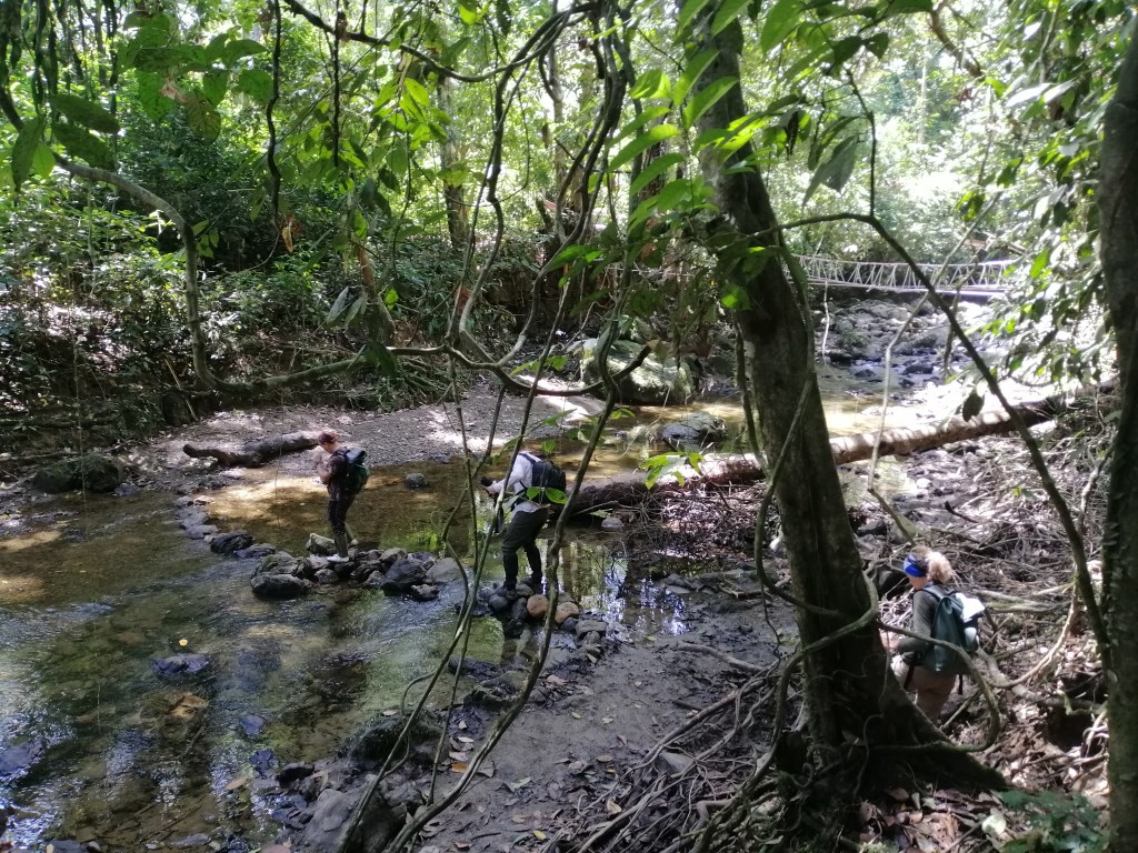
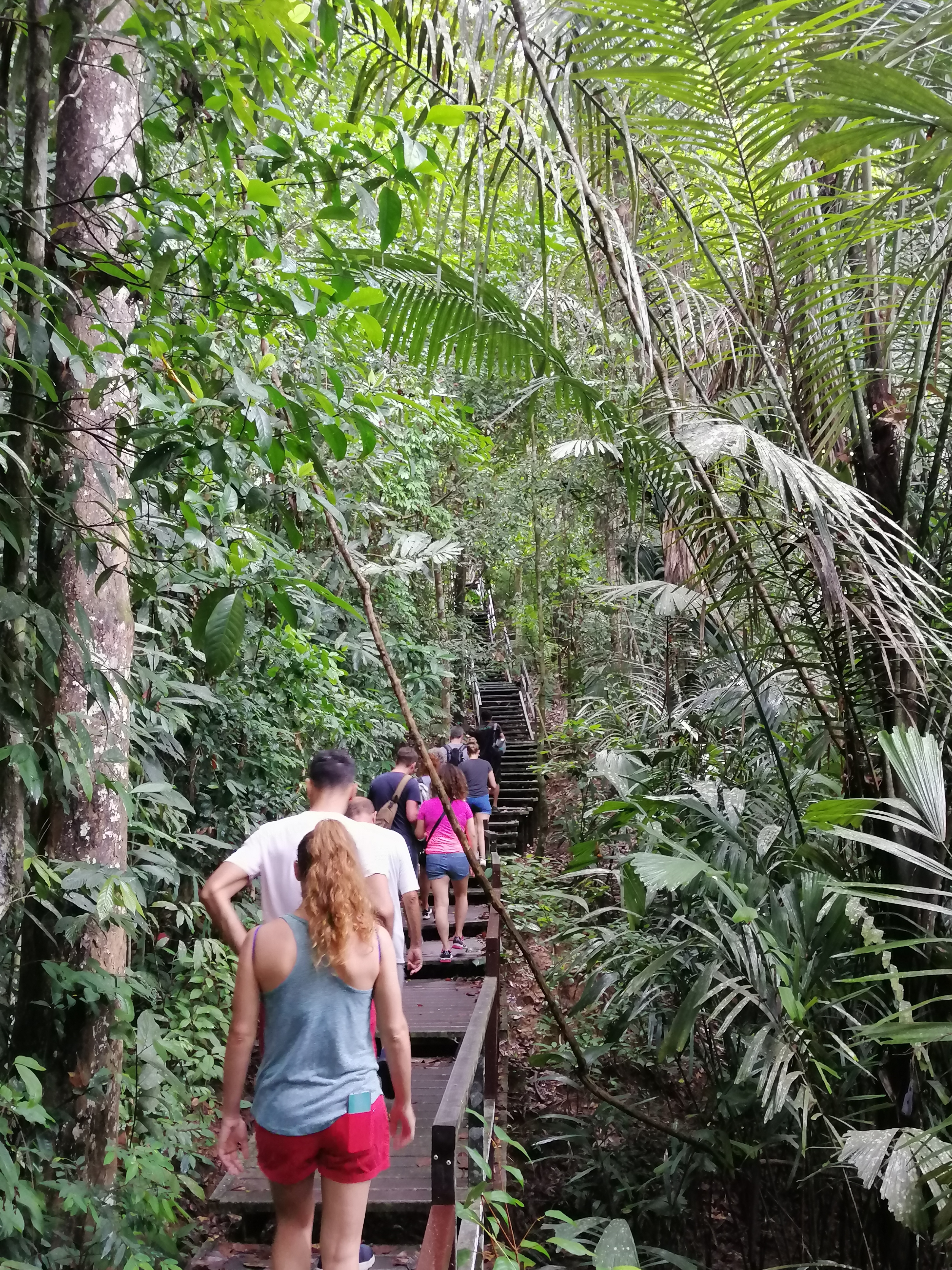
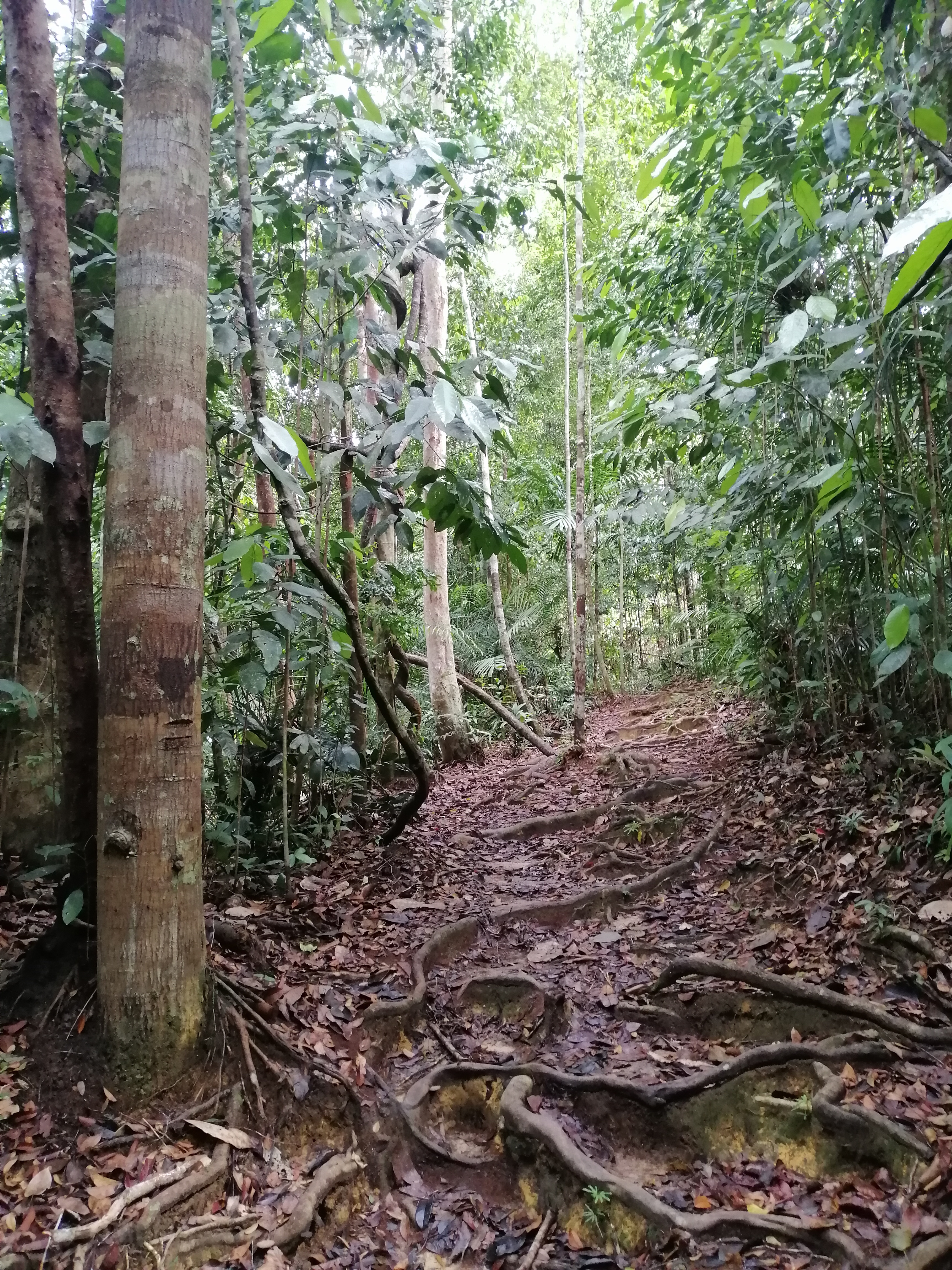
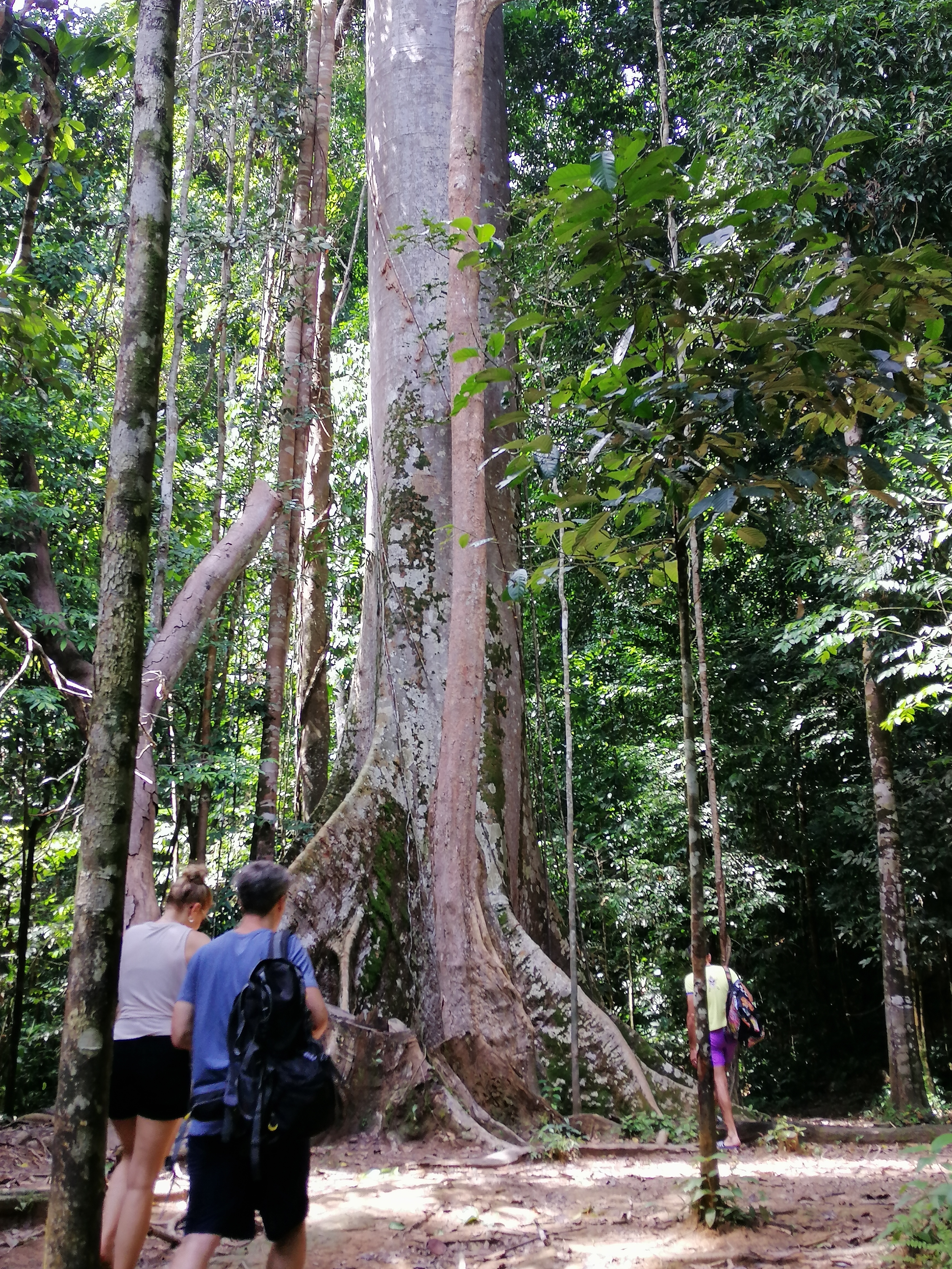
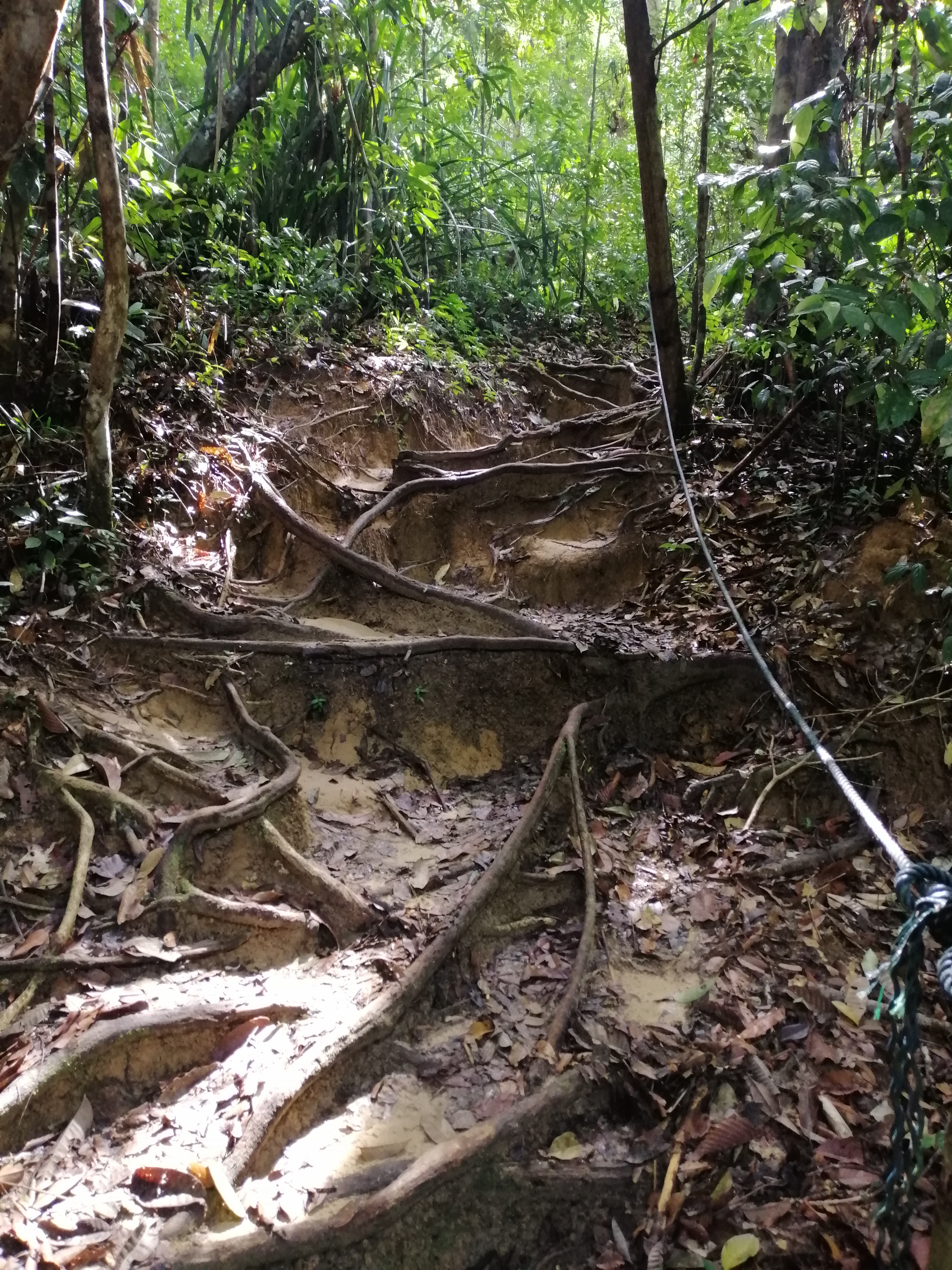
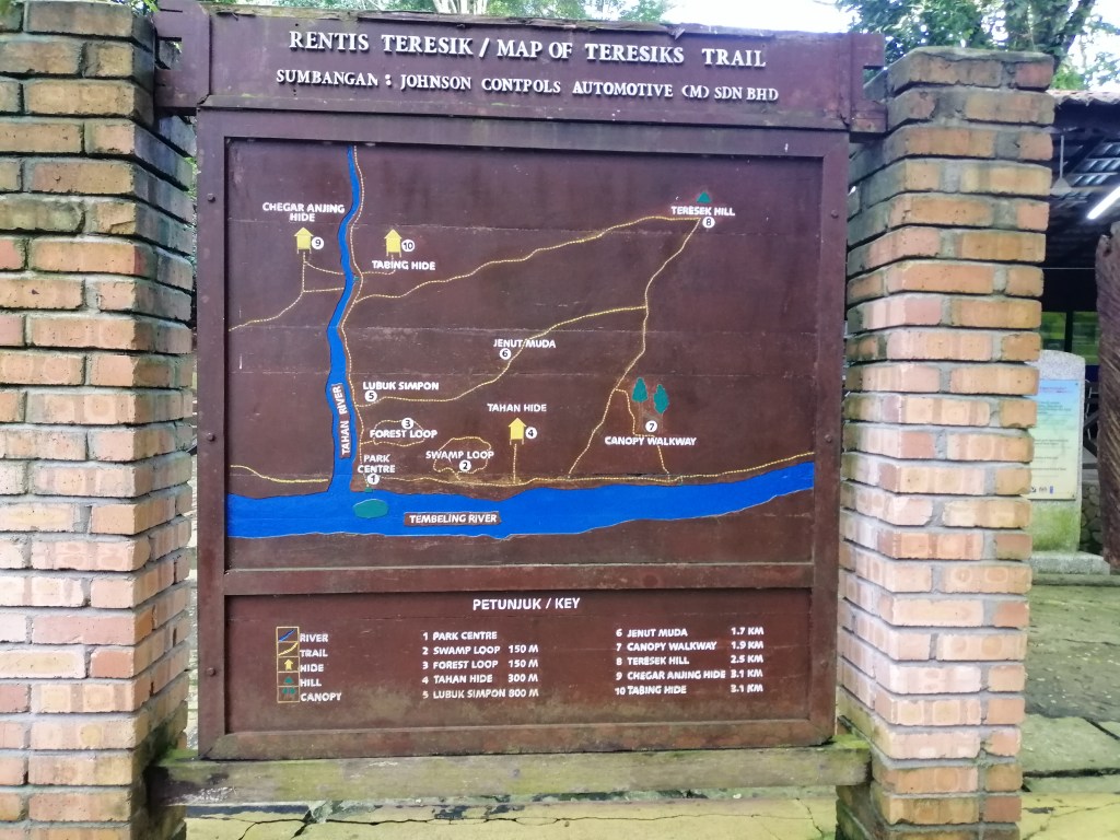
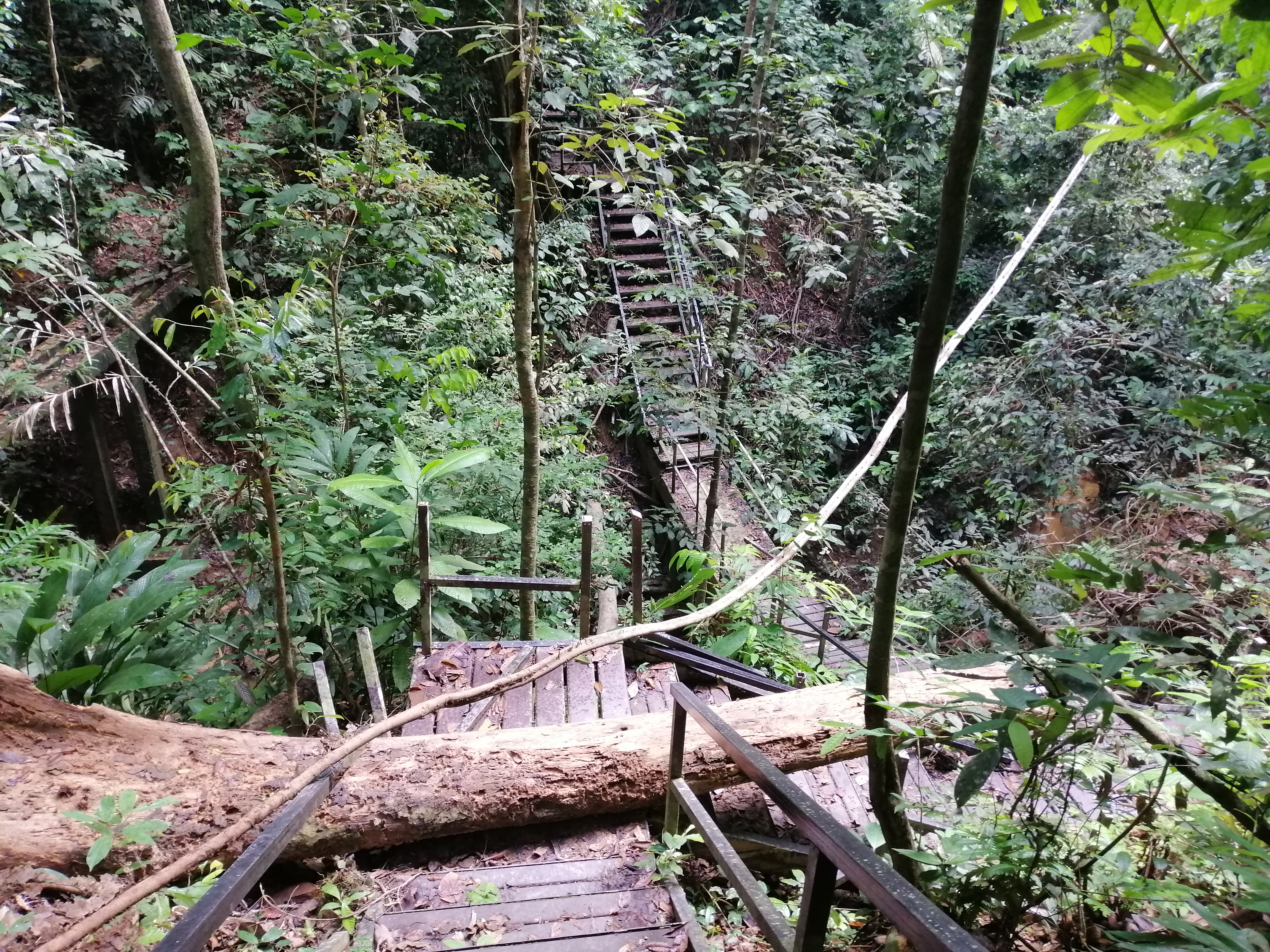
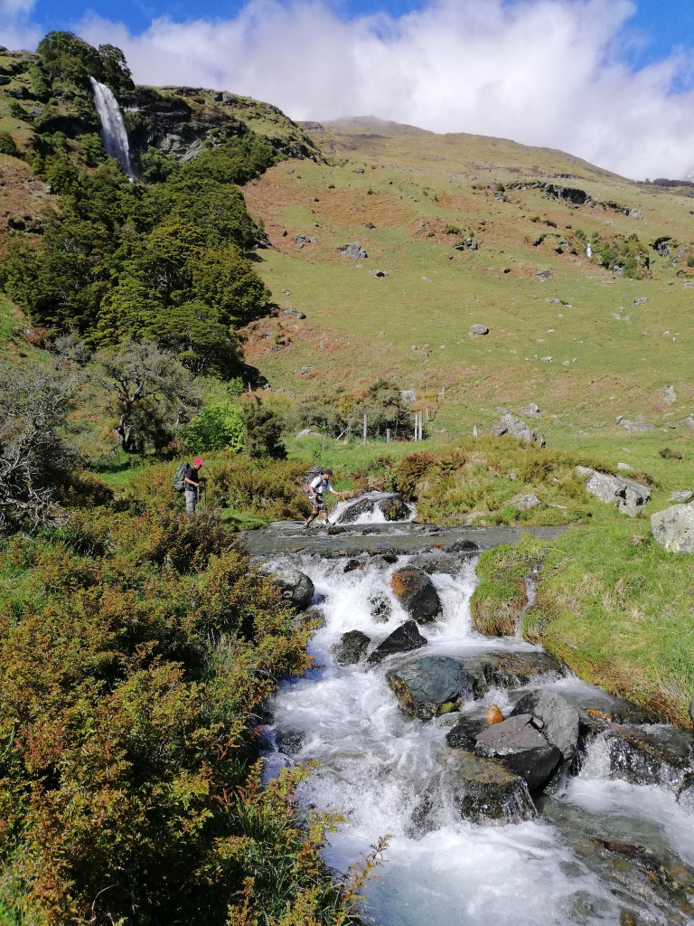
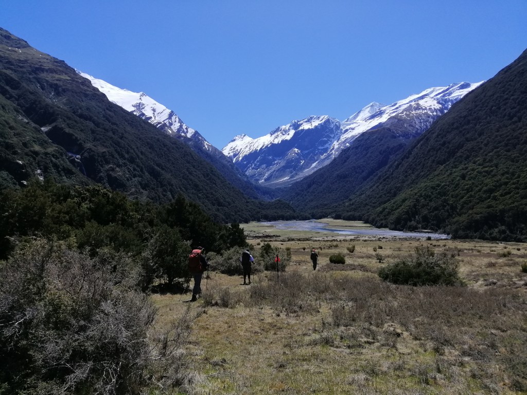
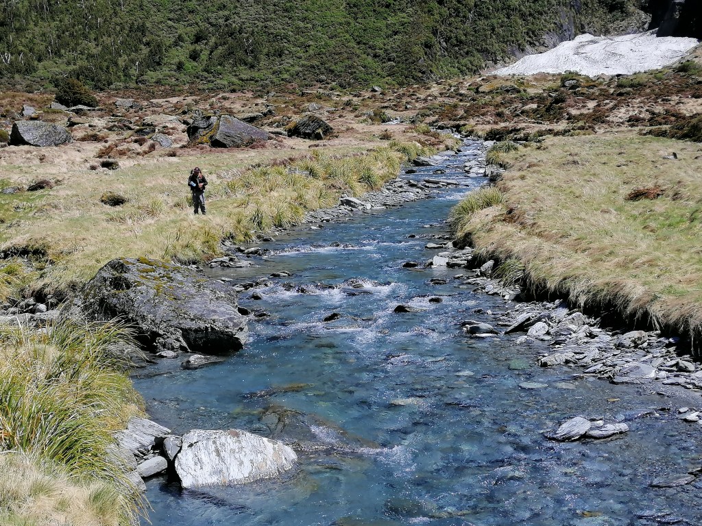
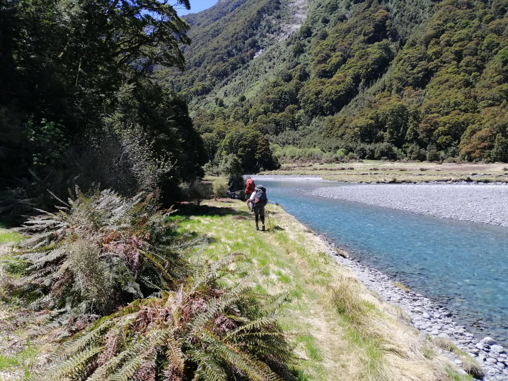
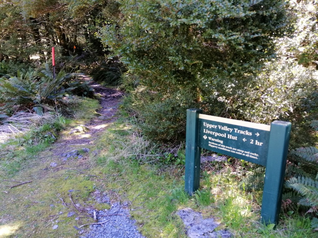
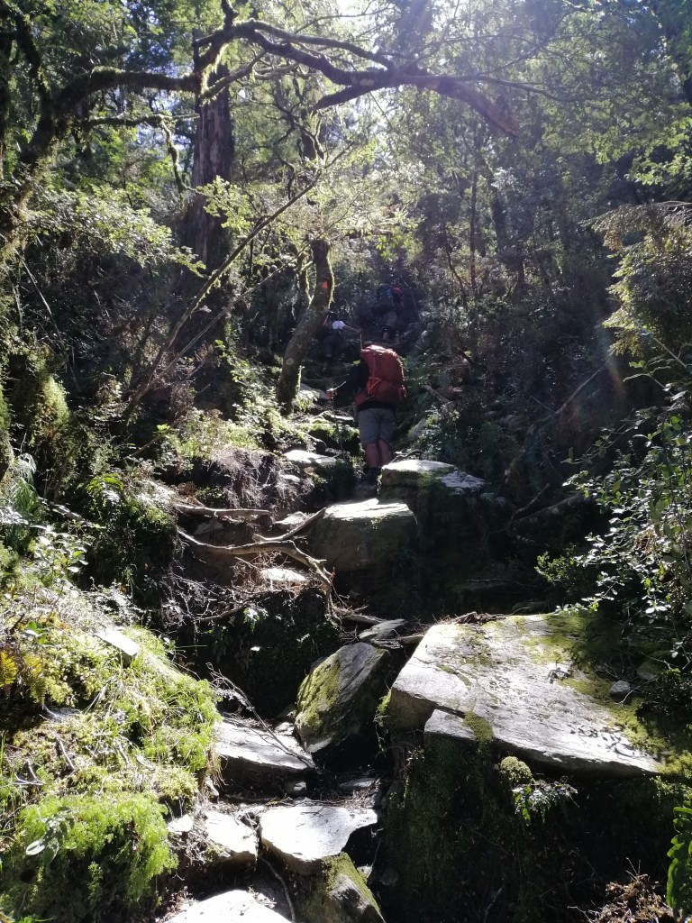
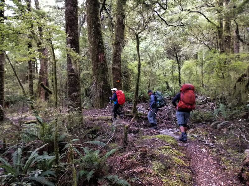
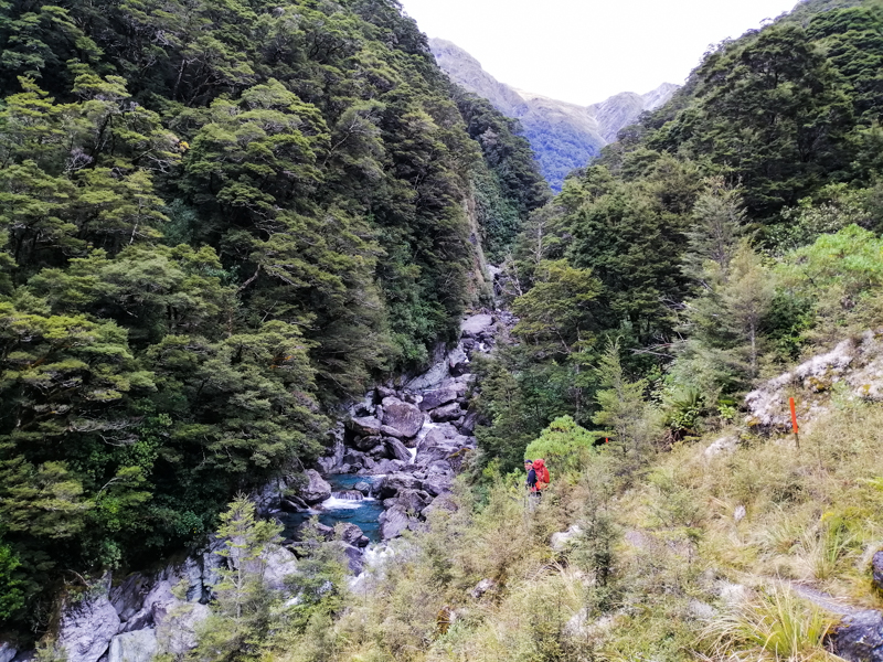
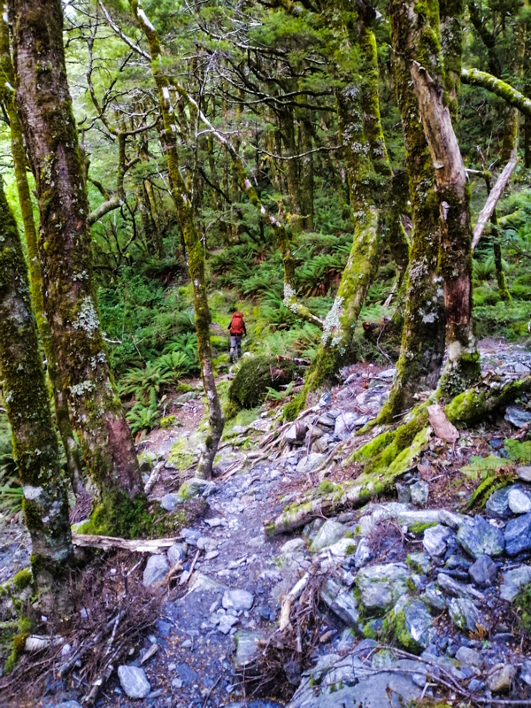
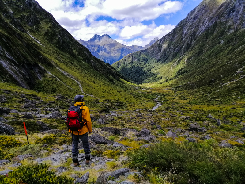
We later joined a small hotel-organized hike. A trail behind the garage led uphill to the Fenqi Trail, passing replanted cedar forests, tall bamboo groves, and ruins of a Shinto shrine near the inaccessible Luding Giant cedar tree. We switched to the Fenrui (Fenqihu-Ruili) Historic Trail. It was already late, after 4pm. As fog thickened and daylight faded, we turned back after about 2 km. The trail was uphill, narrow and unkept, although assessable.
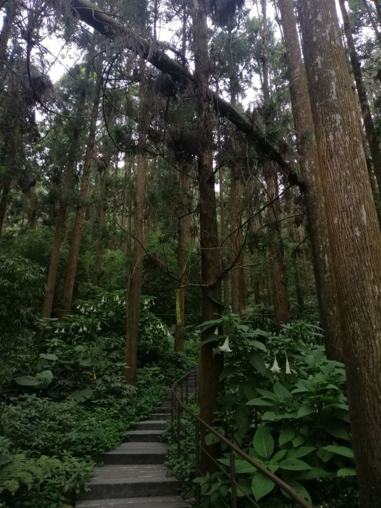

Dining options were limited, as most eateries closed early, between 1700 and 1800. We found Fang Mei Tingyuan still open, offering lovely mountain views and a satisfying prawn fried rice. Otherwise, the local 7-Eleven served till late-night. At dusk, we returned to Kiyota Alley, where Allen shared tea from his own plantation. Sipping steaming hot tea amid misty silhouettes and conversation made the day especially memorable.
At 8 p.m., we joined another hotel activity — firefly spotting. As our eyes adjusted in the darkness, tiny blinking lights began to appear, soon multiplying across the slopes. It brought out the child in all of us — nostalgic for some, magical and eye-opening for others.
2nd leg, Day 2
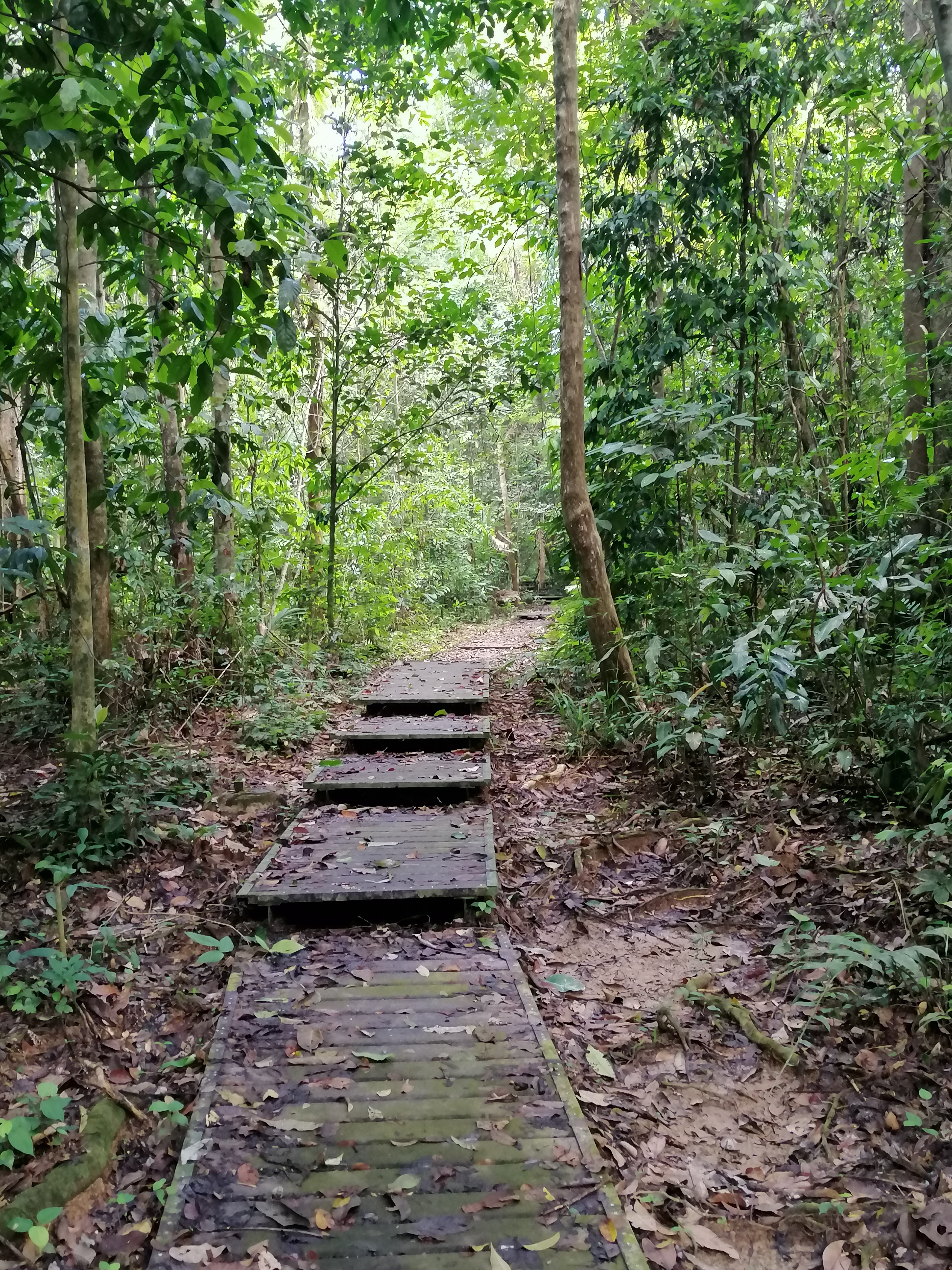
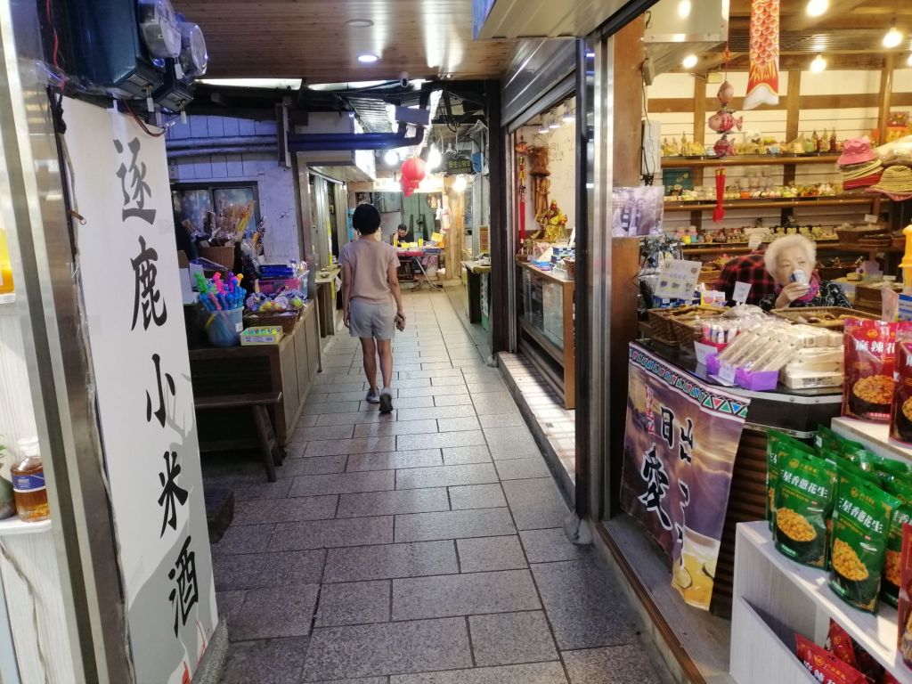
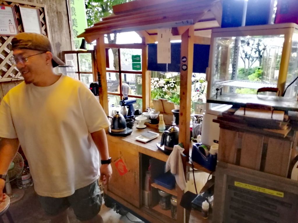
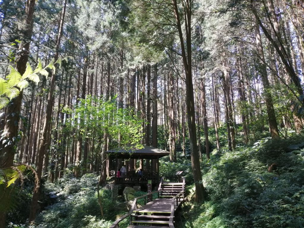
We found one shop serving breakfast at 8.30 a.m.; business in Fenqihu starts late. Walking through the deserted Old Street, shutters still down, we crossed the tracks near Fude Gong Temple and entered the Cedar Boardwalk. Wooden steps led through tall secondary cedar forest, with a longer loop branching right. Towering bamboo rose among the cedars as shafts of light pierced the canopy, creating a gentle play of shadow. The easy, well-maintained trail took about an hour and emerged near the lower township, where quiet village life. By 10.30 a.m., we were back on Upper Old Street, now open but still lightly visited.
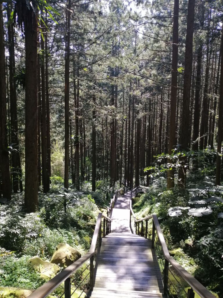

A common mountain habit here is chewing areca (betel nut) wrapped in betel leaf with lime — a practice familiar from my own family, perhaps similar in effect to coca chewing in the Andes.
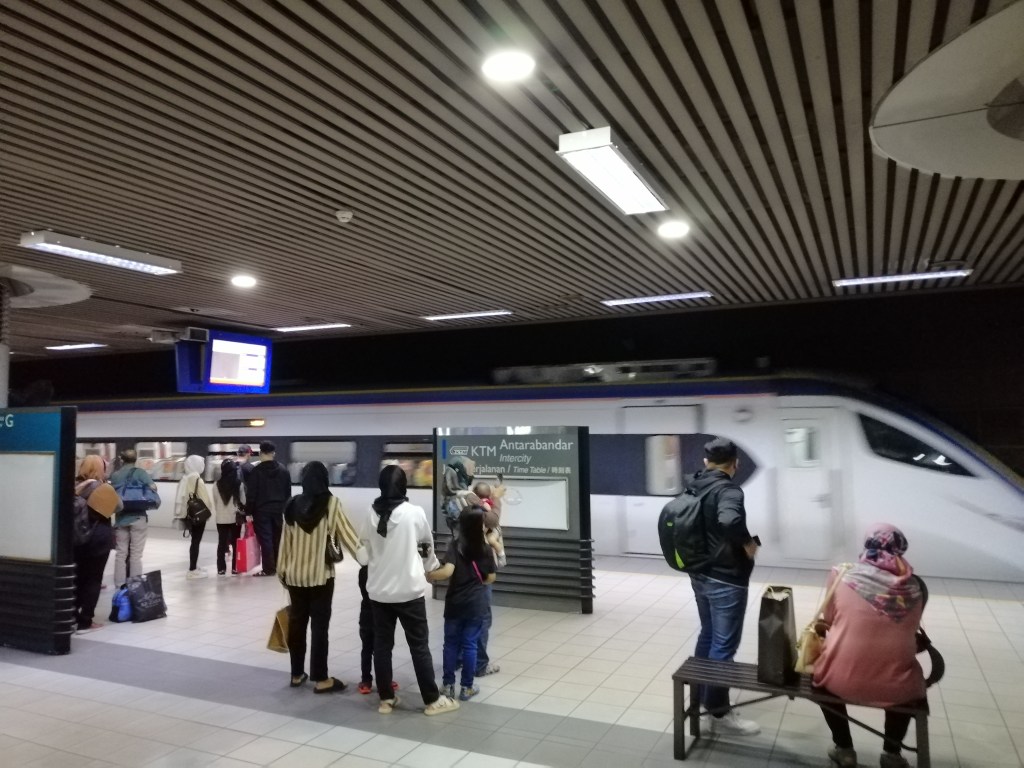
Our train to Alishan (Alishan Express 8) was scheduled for 1.21 p.m. We left our luggage at the hotel and noticed visitor numbers increase when the 11.30 train arrived. Clouds and mist soon settled over the mountains. Lunch was at Tie Dao Shan Cheng, a retro-styled eatery with bento sets and steamed tofu. Sitting on the verandah, watching mountain life unfold, I wished we had stayed another night.
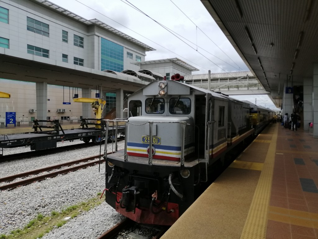
While waiting, a charter tourist train — the brightly coloured Vivid Express operated by Lion Travel — arrived, followed soon after by our Alishan Express, creating a burst of activity at the station. Like this Vivid Express, another special tour service – Formosensis train, is also operated by Lion Travel Services. It’s an alternative way to experience Alishan. At 1.20 p.m., we boarded for the uphill journey, Alishan Express 5, again with plenty of empty seats.
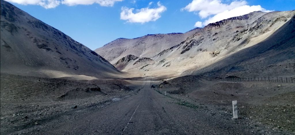
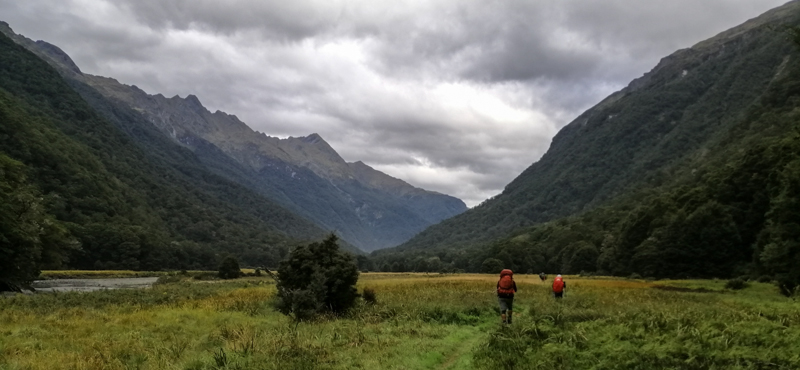
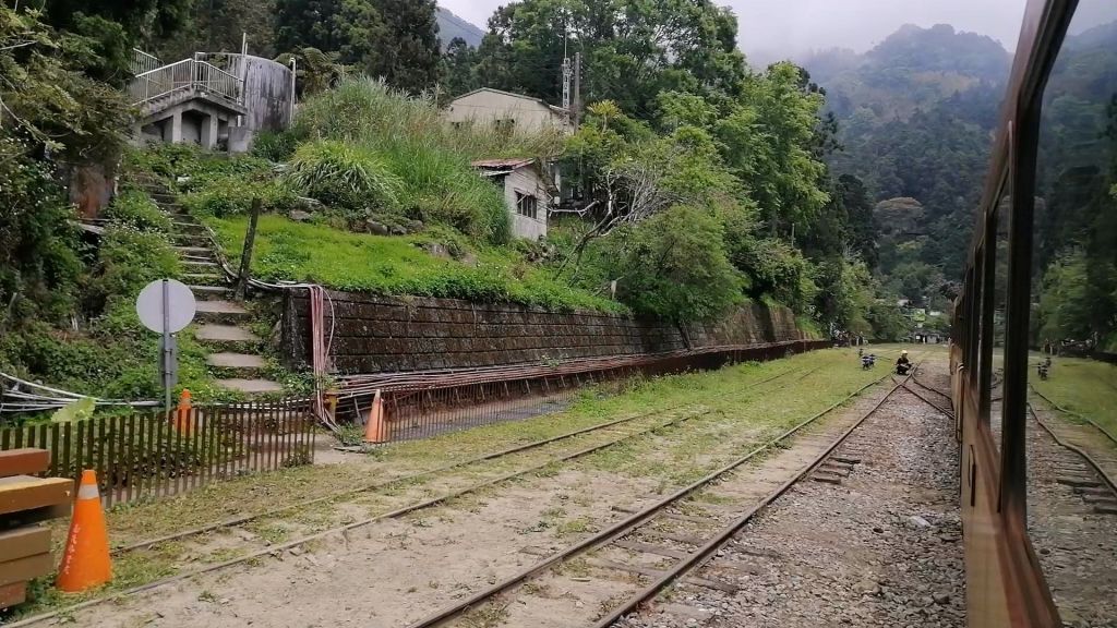
The familiar screech and sway accompanied us past small settlements. At Duolin Station (1,516 m), double tracks allowed a downhill train to pass. Cypress forest dominated the slopes, with bamboo, shrubs, and scattered tree ferns as the elevation increased. Near Shizilu Station (1,534 m), home to Tabangu and Tfuya tribal communities, cafés clustered close to the tracks.
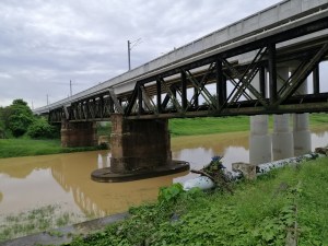
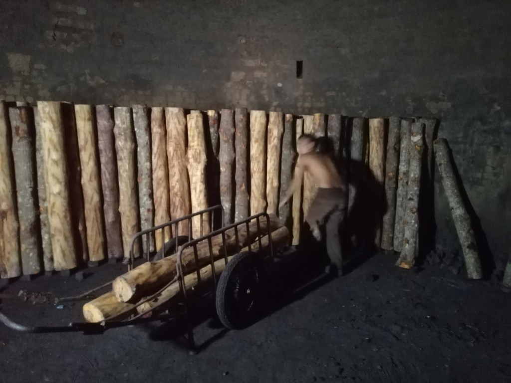
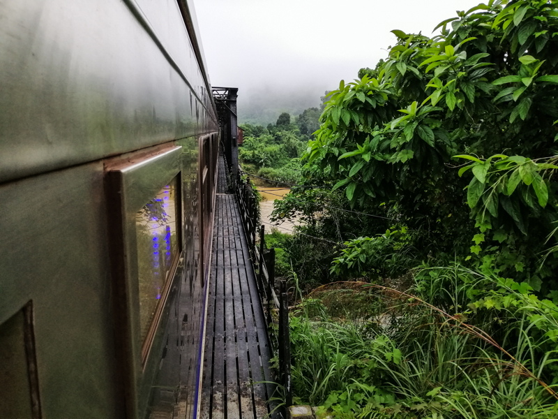
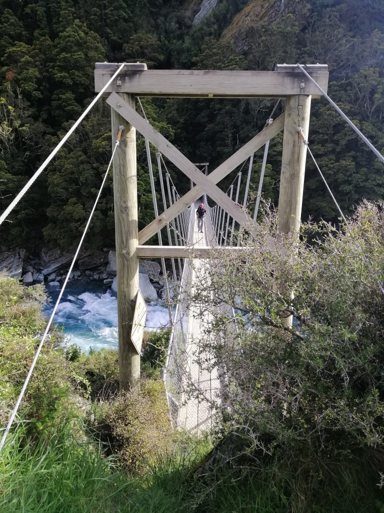
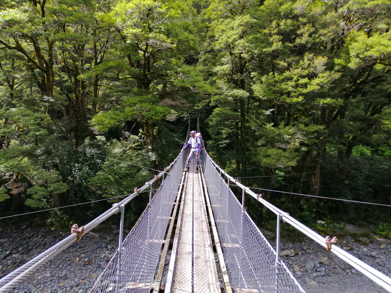
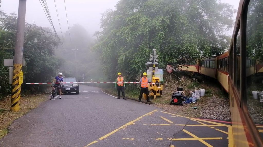
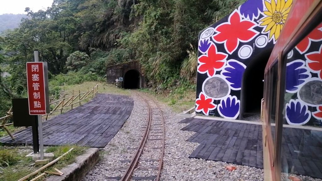
Low clouds clung to the canopy as we crossed bridges and entered a typhoon-damaged section, where one track diverged toward the abandoned Pingzhenna Station (1712m). We continued through a newer tunnel, decorated with aboriginal-style artwork. Construction camps, machinery, and stacks of red cypress logs implied ongoing railway works.
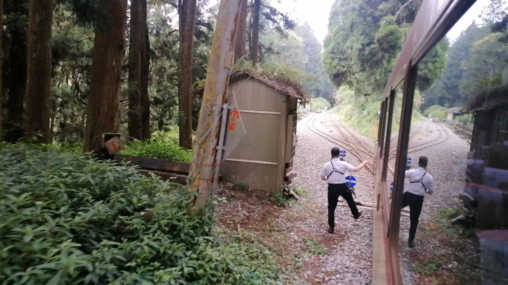
Within a couple of minutes, we slowed down. An engineer, jumped off, as the train slowly moved foward and stopped. Within moments, another engineer waved his hand, a short conversation on the radio and a whistle, the train moved backwards. Up to this point, the diesel engine has been pushing the coaches. From hereon, its pulling. The tracks had been switched. With a Z- shaped track, we elevated uphill, ricking back and forth. A similiar experience on the Darjeeling Toy Train. These swithchbacks are the quickest (and practical) to gain elevation. Elevating the line with a Z- Shaped line, ricking back and forth.
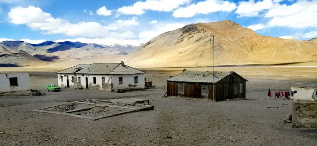
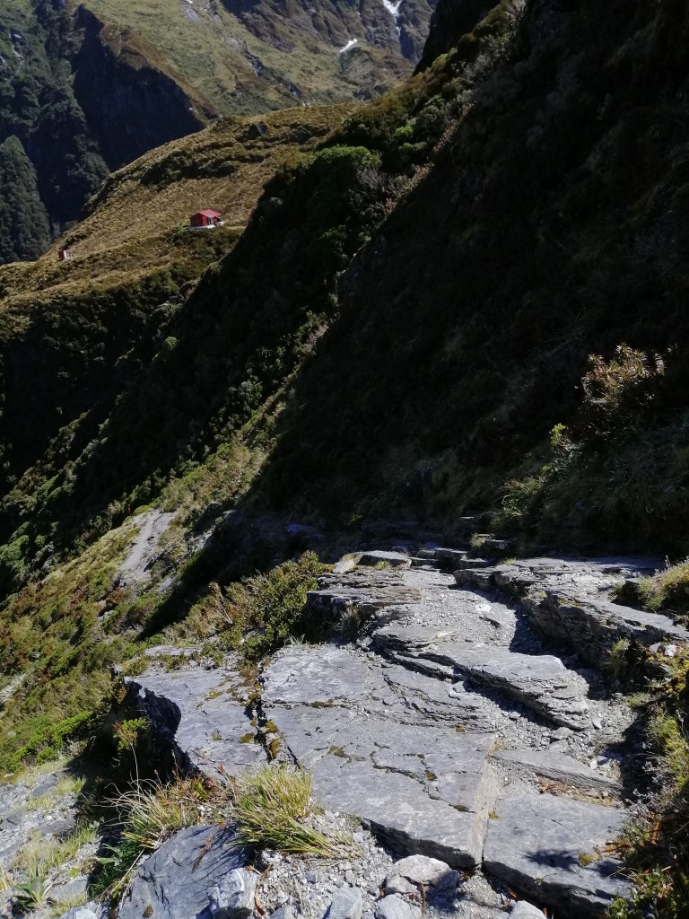
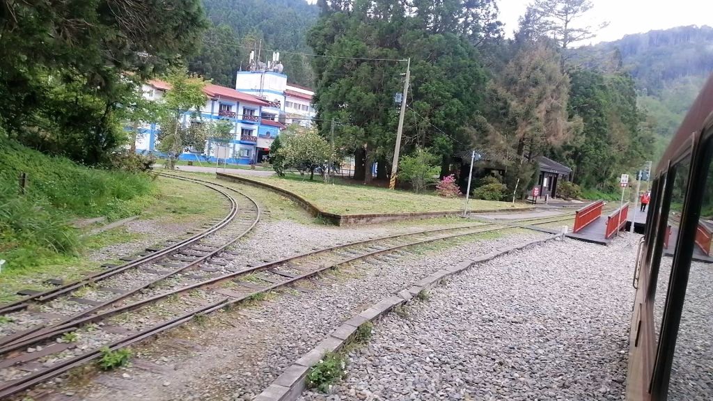
Soon after, the train paused for a switchback manoeuvre. The engine reversed roles — pushing became pulling — as we zigzagged uphill on a Z-shaped track, a practical way to gain height, reminiscent of the Darjeeling Toy Train. Another switchback followed before we reached Erwanping Station (2,000 m), at 2.30pm. Here, the station master exchanged the traditional single-line token — a ritual from an earlier era. Once the railway’s terminal until 1914, the station felt surreal, floating in a sea of cloud. After a brief, chilly walkabout, we continued onward. Perhaps, it would be great to spend time in Shizilu and Erwanping and immerse in an atmospheric mountain village life?
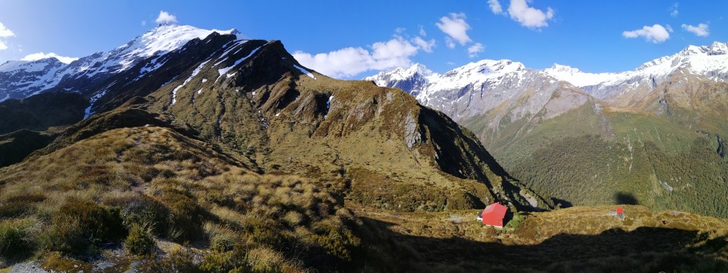
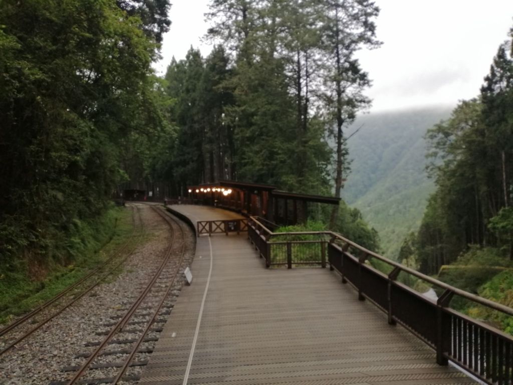
The climb resumed past felled cedar logs and machinery. Near Shenmu Station (2,138 m), passengers waited by a beautifully restored wooden building near the remnants of the Sacred Tree (at least remnants of the 3000 years old tree). This station is one of the three branch lines in Alishan. We paused briefly before the final approach.

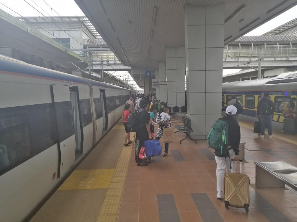
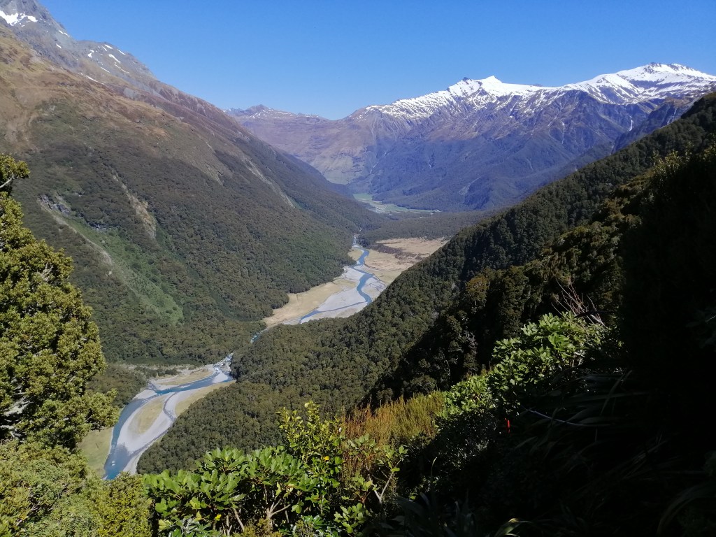
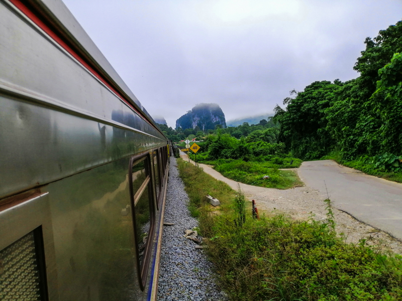
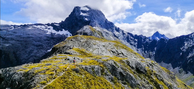
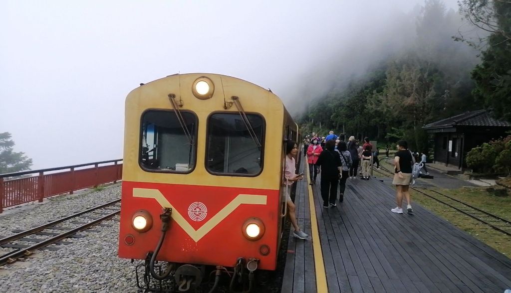
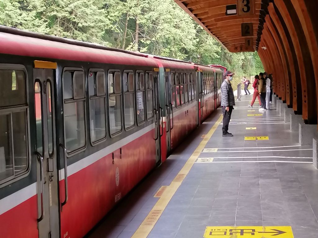
As excitement built, white fences appeared and the train crossed a bridge revealing mist-shrouded views of Alishan (Zhongzheng township and recreation area). Remnants of cherry blossoms still lingered near Zhaoping Station. At 2.58 p.m., our train rolled into Alishan Station (2,216 m) — the gateway to ancient cedar and cypress forests. The full journey from Chiayi covered 71.6 km and took about five hours, including the one hour Fenqihu stop.
Arriving felt as rewarding as the journey itself — from tropical lowlands to alpine forest. I’ve loved train journeys since young. The diesel scent, swaying carriages, screeching wheels, grease-warm engines, and token exchanges stirred memories of early rail travel. Even, the passive travel of just looking out of a window of ever changing views, was enough.
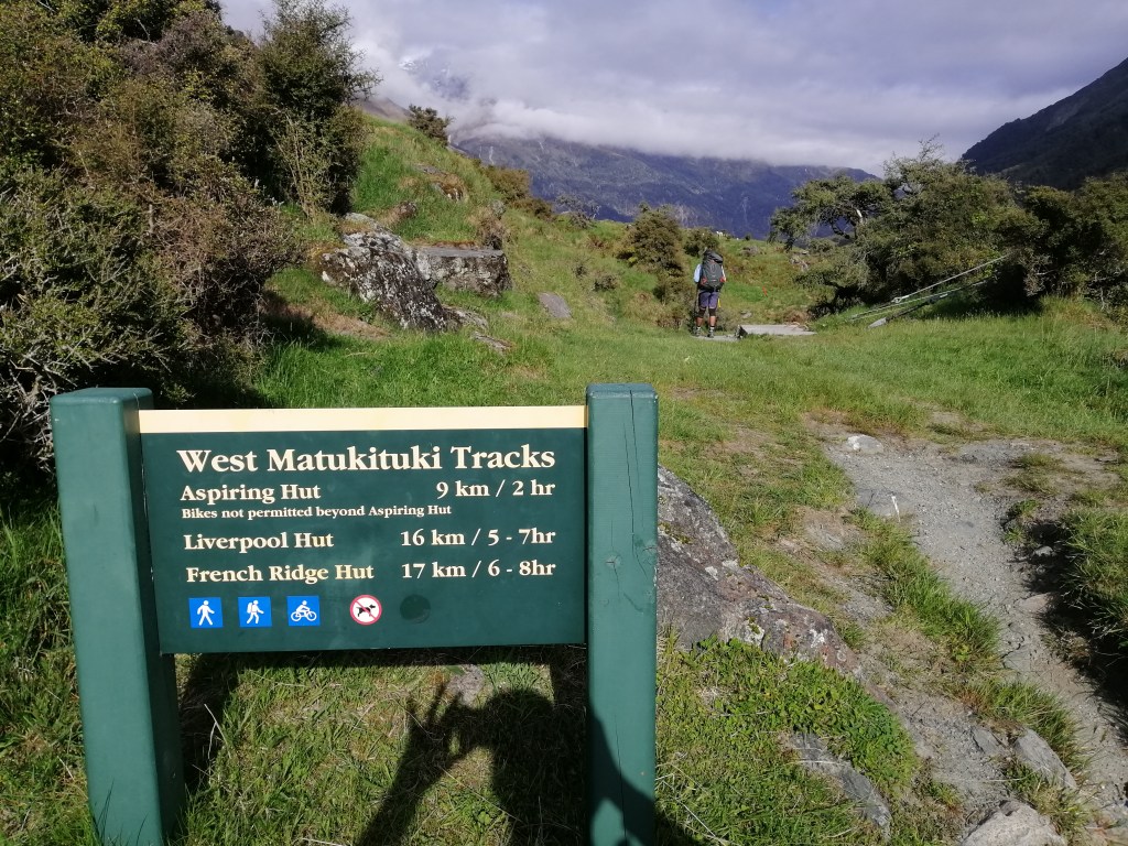
Within the Alishan Recreation Area, three branch lines — Zhaoping, Zhushan (for sunrise), and Shenmu — provide access to trails and viewpoints. Sunrise tickets for Zhushan can be booked online, while other branch tickets are available on the day. For Zhushan, it’s best to buy early, as queues form well before dawn.
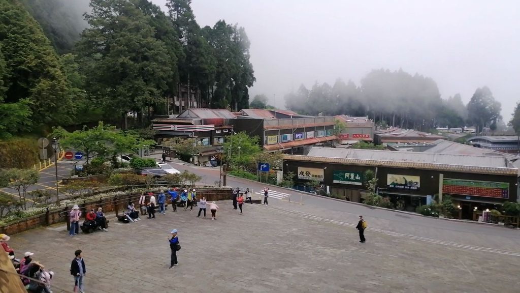
Alishan – Mist. Mountains. Ancient trees. A village lost in cloud and time.
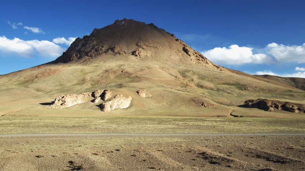
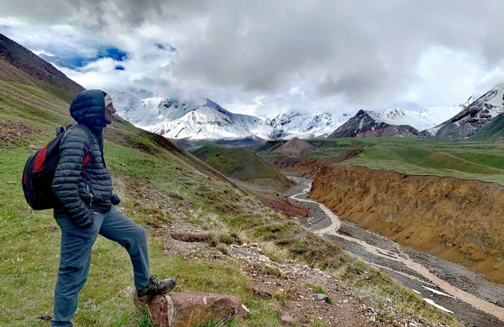
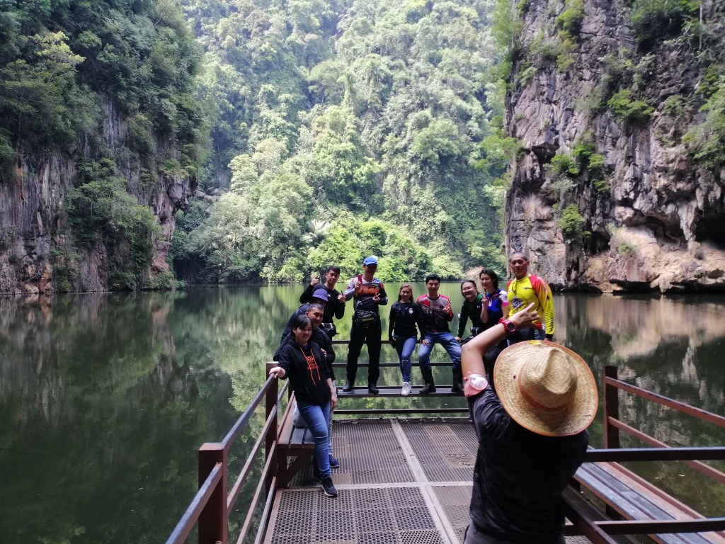
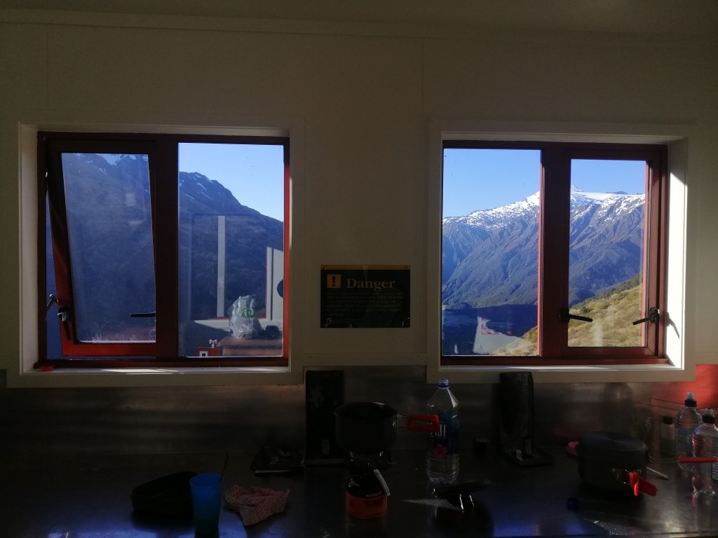
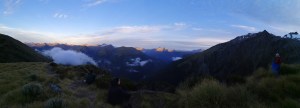
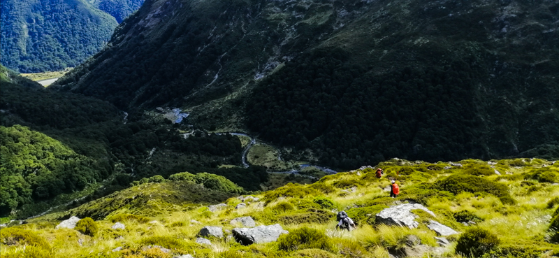
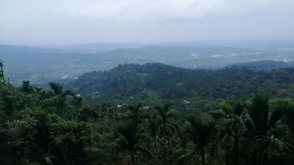
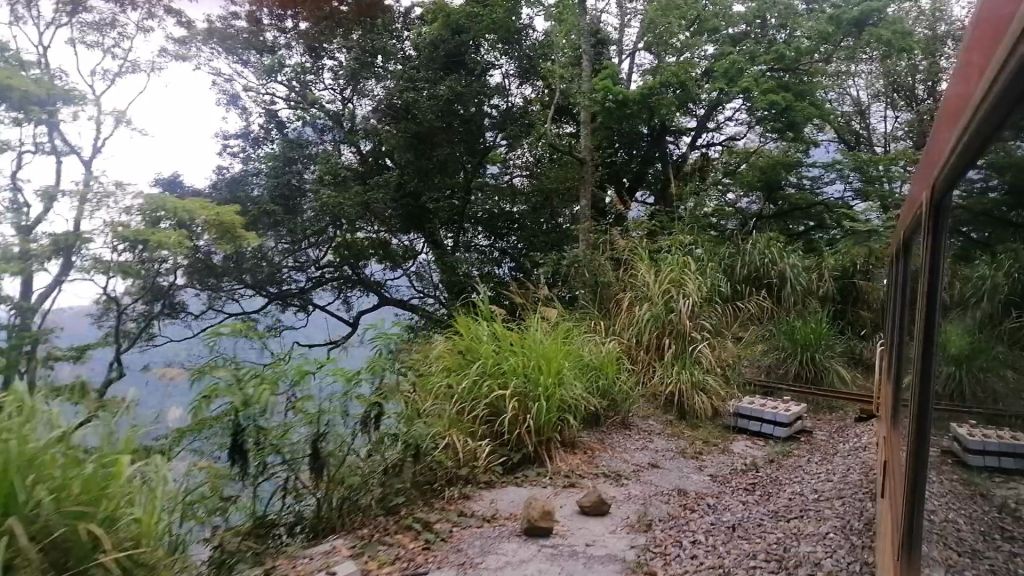
Heavy mist hung over a gloomy Alishan as temperatures dropped. The Alishan Recreation Area consists mainly of car parks, transportation and clustered accommodations. With limited and pricey lodging, I managed only a one-night stay — early booking is essential. After checking in and picking up a tourist map, we took a minibus from the parking area to Zhaoping Station (2,274 m) at around 4 p.m. Nearby Zhaoping Park, lined with cherry trees, still held a few lingering blossoms.
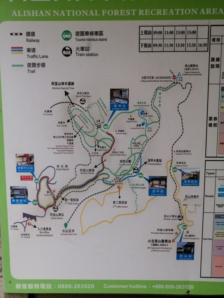
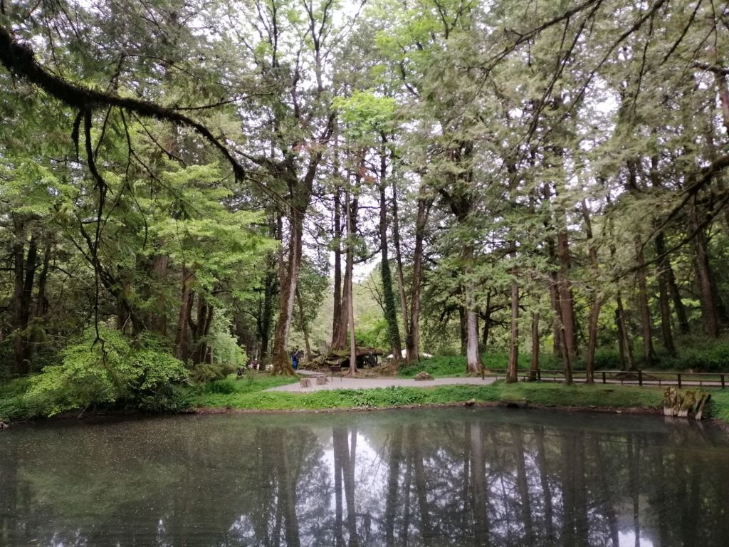

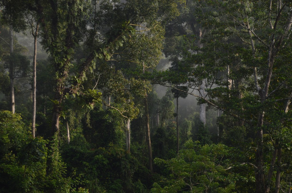
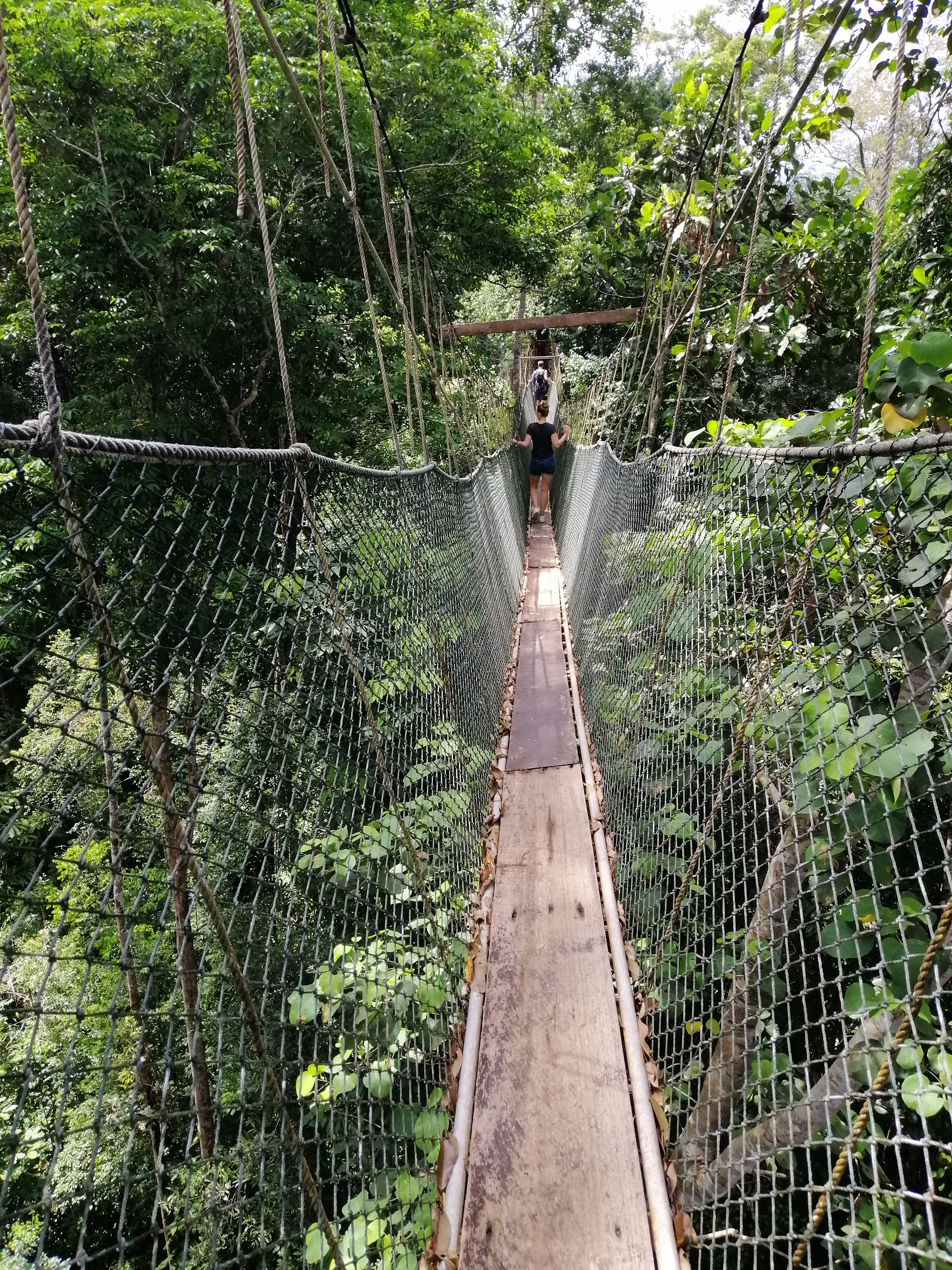
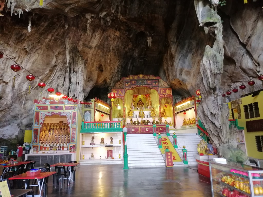
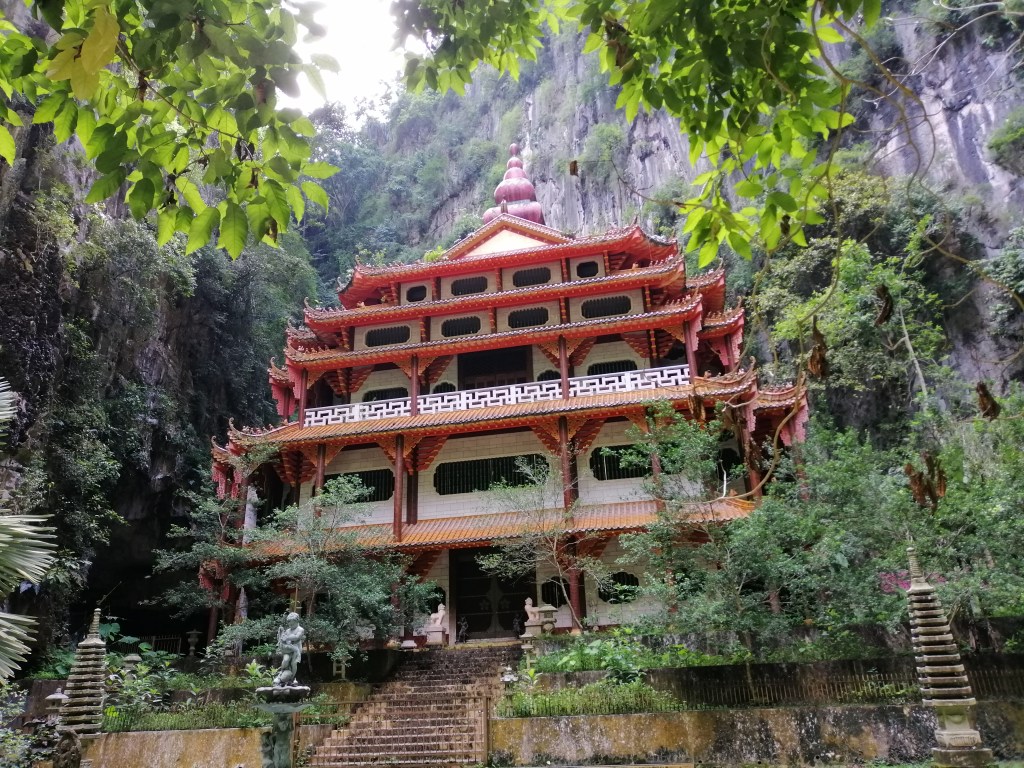
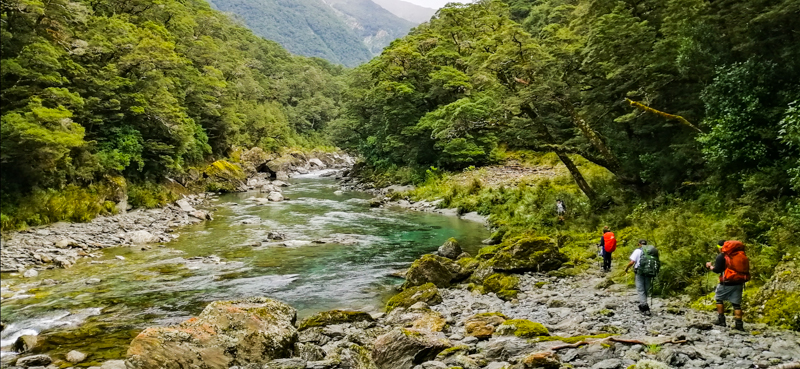
From Zhaoping, we walked alongside the secondary rail track toward Sister Ponds. The cedar forest felt calm and hushed beneath dense mist, with fallen ancient trunks that had collapsed due to aging. Passing Magnolia gardens, we reached the colourful Shouzen Temple near Xianglin Service Area (bus stop), where food and drinks were available. From there, we turned onto the Giant Tree Boardwalk.
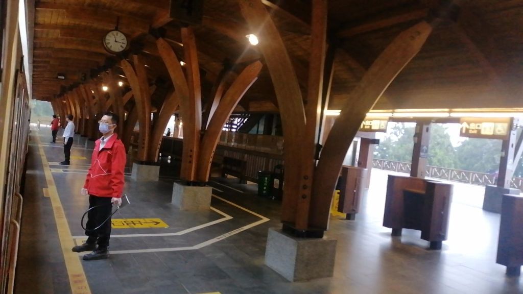
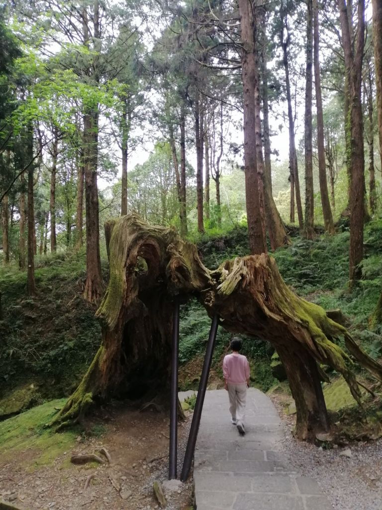
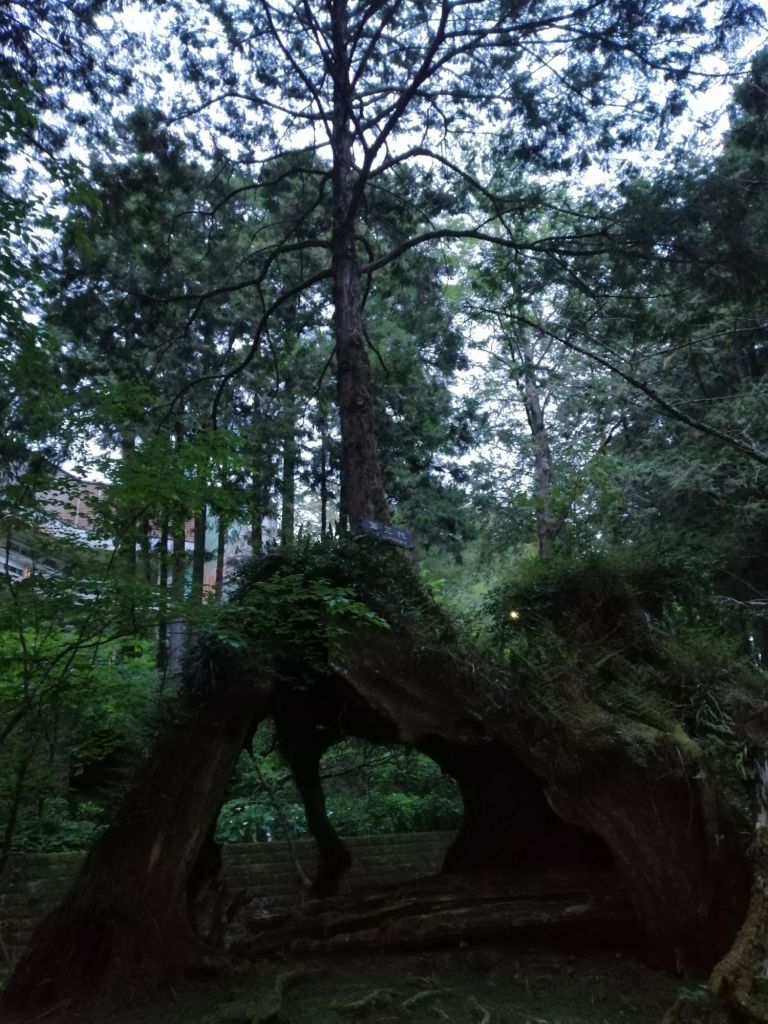
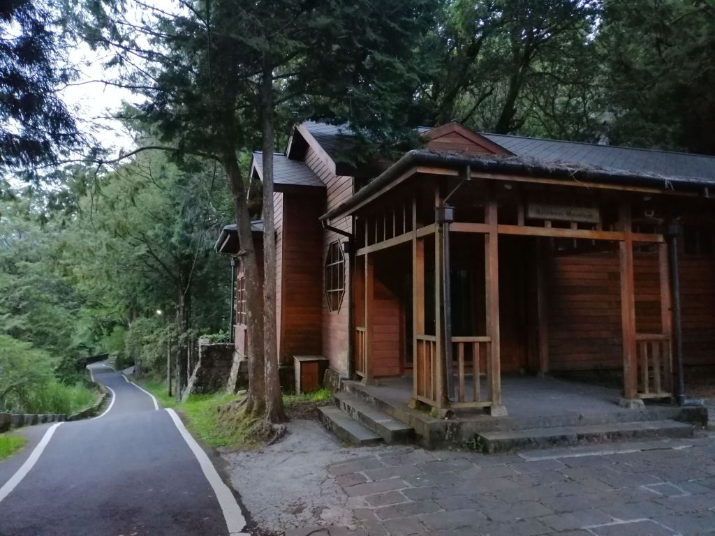
Walking among towering red cypress — many over 1,000 years old — was humbling. The forest edges faded into silhouettes as the mist thickened. Steps and planks led to Shenyi Waterfall and the beautifully designed Shenmu (Sacred Tree) Station, reached around 5.40 p.m. Built to follow the land’s contours, it preserves the surrounding forest. Nearby lie the remains of a once 3,000-year-old sacred cypress, destroyed by lightning. Many visitors arrive here by train to begin this forest walk.
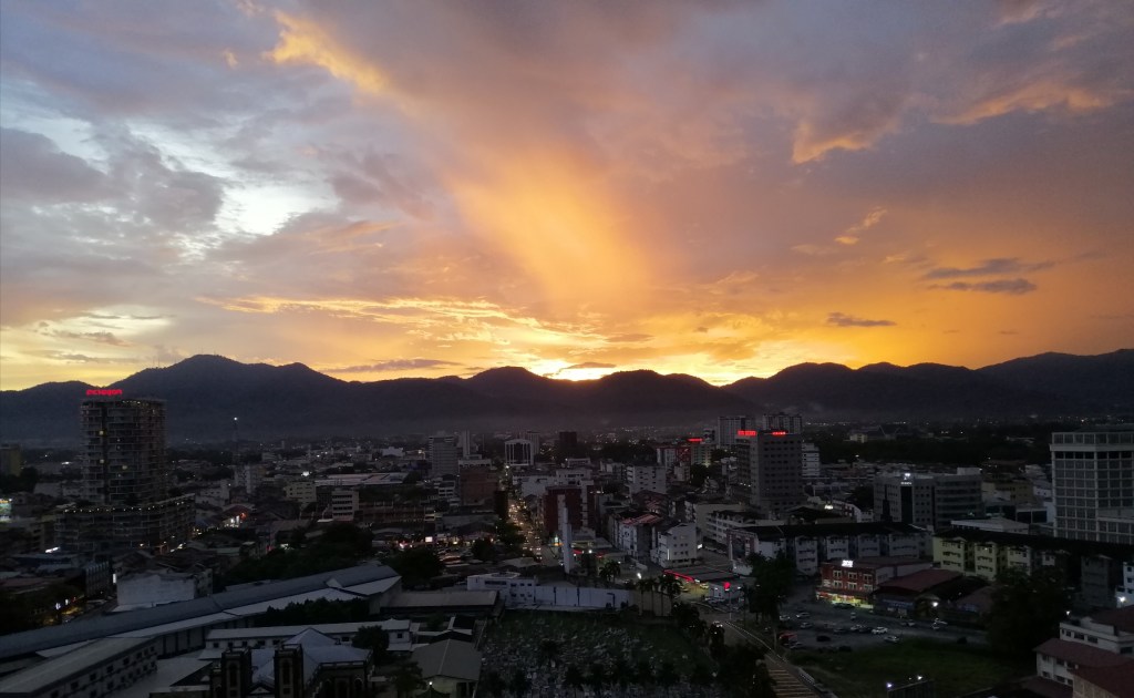
We continued toward Ciyun Temple, following undulating trails with views down to the Chiayi rail line. A clearing opposite the temple is ideal for sunsets, though heavy cloud and mist limited the view. Train horns echoed faintly below, while occasional rays of light tinted the clouds gold and orange. Not perfect, but well worth the wait. It was getting dark at 6 pm., we returned via Alishan Museum and the Three Generations Tree to the main trail near Alishan House. Dinner options were limited, crowded, and pricey — but the imminent rain held off.
Day 3
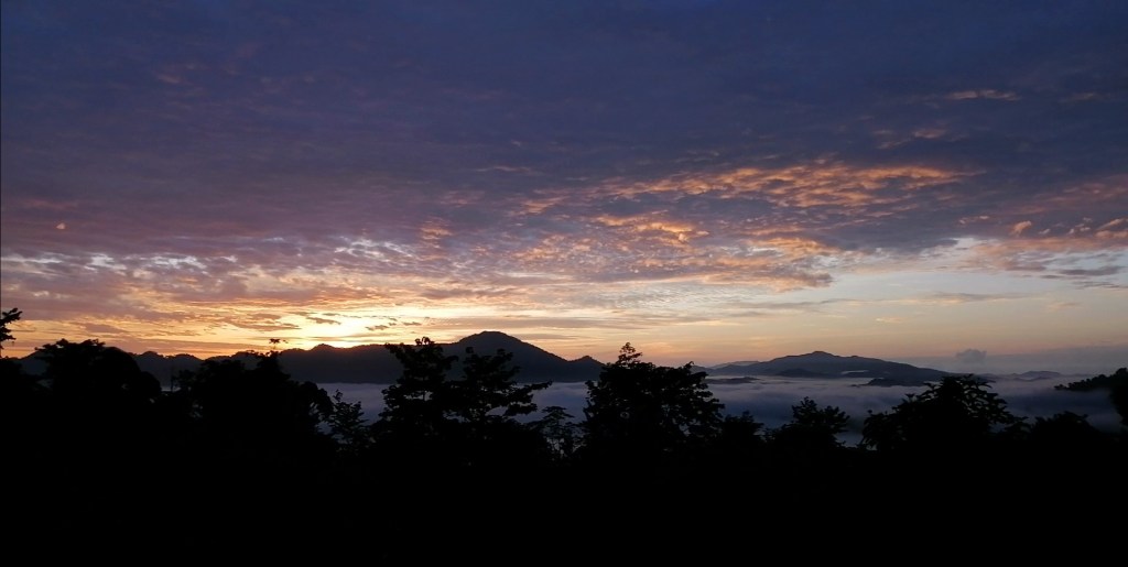
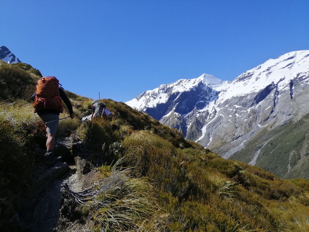
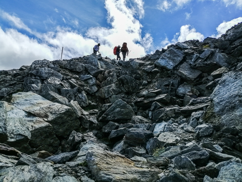
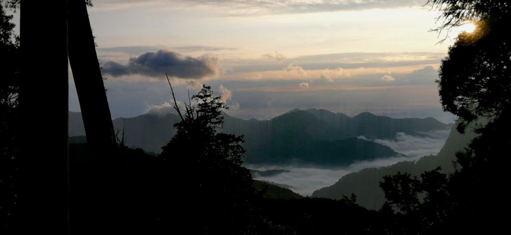
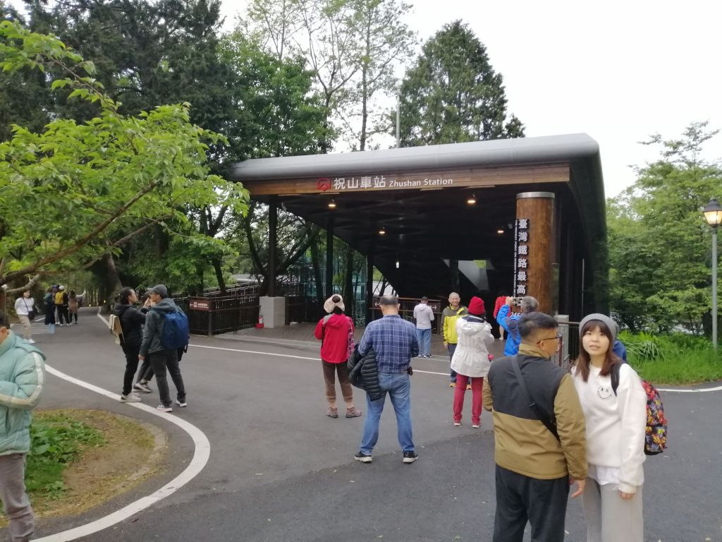
The next morning, we rose early for the sunrise train to Zhushan. The ticket counter opened at 4 a.m., already with long queues. The first train departed at 5 a.m. in cold darkness, timed for a 5.40 a.m. sunrise. We arrived at Zhushan Station (2,451 m), Taiwan’s highest, at 4.45 a.m. The modern station has food stalls and several viewing points (Duigaoyue Sunrise Platform and Zhusan Observation Deck) . I chose the Xiaoliyuanshan Lookout, a short uphill walk.


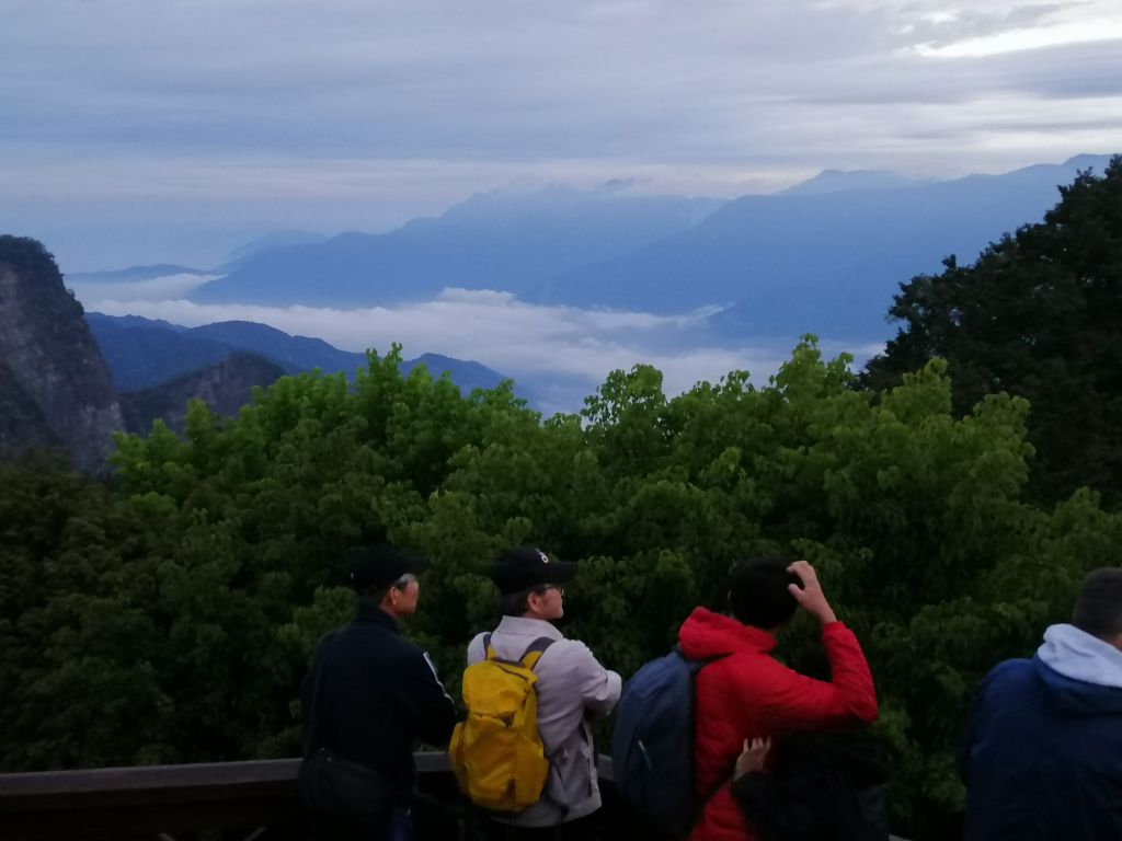
After about 20 minutes in the cold, dawn revealed streaks of light and a swirling sea of clouds between layers of mountains. Sunrise wasn’t perfect, but the views were spectacular. I caught the last return train at 6.10 a.m., arriving back at Alishan at 6.45 a.m.
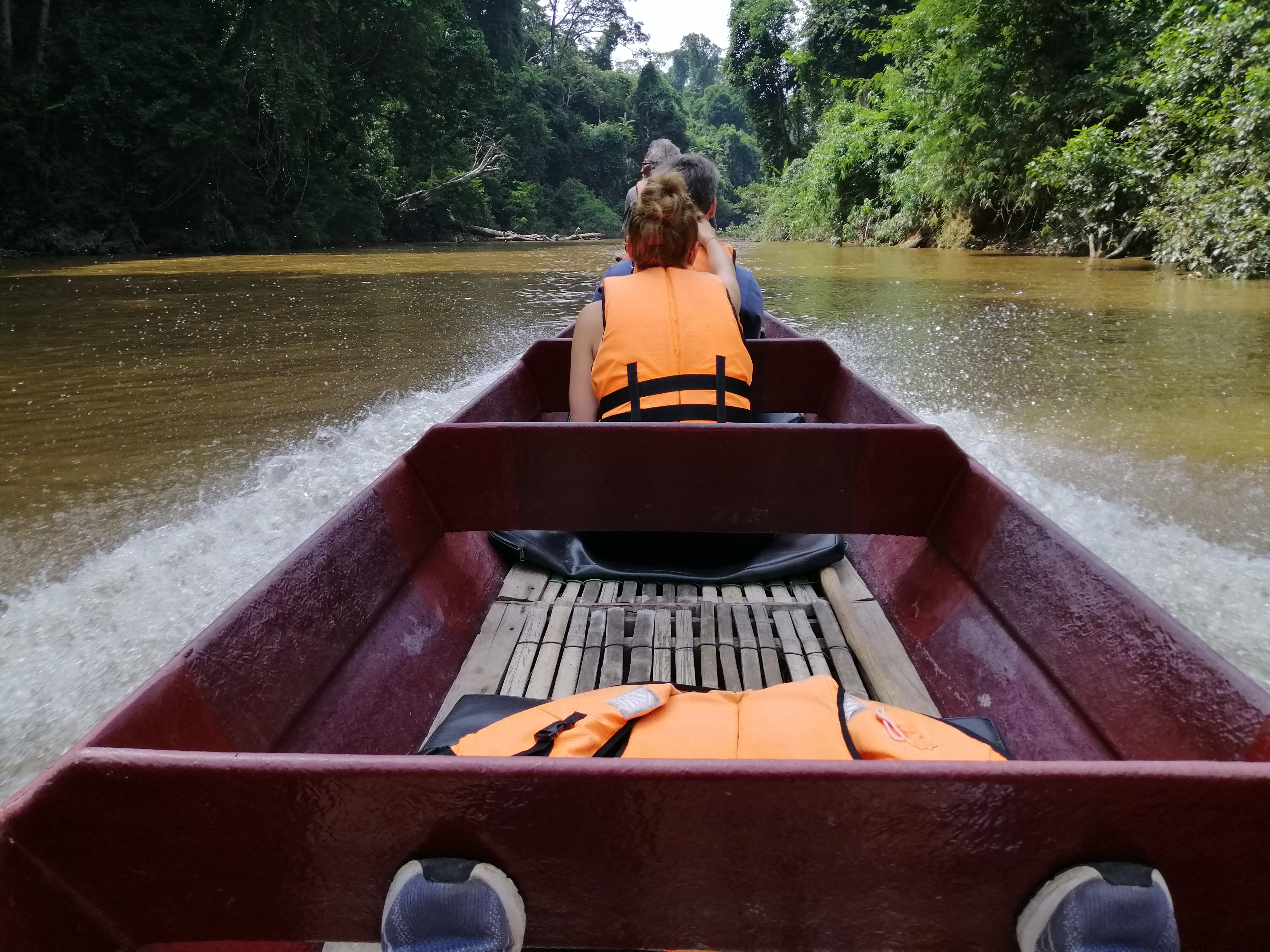
Yuanlin Bus [(049) 2770041] runs daily from Alishan to Sun Moon Lake at 1 p.m., with an additional 2 p.m. service on weekends. We booked a day ahead at the Visitor Centre and took the quieter 2 p.m. bus. Advance booking via taiwanbus.tw is recommended.
For additional resources, I found an informative – in fact everything about Taiwan travel blog – taiwanobsessed.com
Is the Alishan Forest Railway worth it? Absolutely. Despite ticketing challenges, it’s far more than a train ride — a slow journey through colonial history, indigenous culture, local food, dramatic mountain landscapes, picturesque villages, and rare ancient forests.